West Southport
West Southport is a neighborhood in Town of Southport, Lincoln County, Maine. West Southport is situated close to the neighborhoods Cozy Harbor and Five Islands.Notable Places in the Area
Hendricks Head Light Station
Lighthouse

Photo: Ted Kerwin, CC BY 2.0.
Hendricks Head Light is a lighthouse in Southport, Maine marking the west side of the mouth of the Sheepscot River.
Burnt Island Light Station
Lighthouse

Photo: ShagVT, CC BY-SA 3.0.
The Burnt Island Light, built in 1821, is the second oldest surviving lighthouse in Maine. Burnt Island Light Station is situated 2 miles east of West Southport.
Localities in the Area
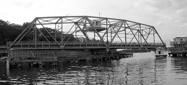
Southport
Hamlet

Photo: Wikimedia, Public domain.
Southport is a town and archipelago in Lincoln County, Maine, United States.
West Boothbay Harbor
Neighborhood
West Boothbay Harbor is an unincorporated village in the town of Boothbay Harbor, Lincoln County, Maine, United States. West Boothbay Harbor is situated 2 miles northeast of West Southport.
Boothbay Harbor
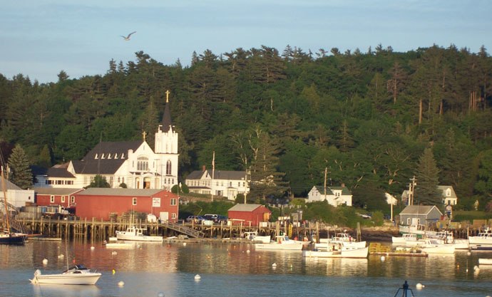
Photo: 3l3phant, CC BY-SA 3.0.
Boothbay Harbor is a town in Lincoln County, Maine, United States.
West Southport
- Type: Neighborhood
- Category: locality
- Location: Town of Southport, Lincoln County, Mid Coast, Maine, New England, United States, North America
- View on OpenStreetMap
Latitude
43.82829° or 43° 49' 42" northLongitude
-69.68334° or 69° 41' westElevation
56 feet (17 metres)Open Location Code
87MGR8H8+8MOpenStreetMap ID
node 158814685OpenStreetMap Feature
place=neighbourhoodGeoNames ID
4982734West Southport Satellite Map
© OpenStreetMap, Mapbox and Maxar
Localities in the Area
- Cozy HarborNeighborhood
- Five IslandsNeighborhood
- East SideNeighborhood, 1½ miles northeast
- Pine CliffNeighborhood, 1½ miles east
- Capitol IslandNeighborhood, 2 miles east
Landmarks in the Area
- Hendricks Head PreserveNature reserve
- Hendricks Head BeachBeach
- Cole BeachBeach
- Kitten IslandIsland
- Union CemeteryCemetery
Escape to a Random Place
Discover other destinations in the world.
About Mapcarta. Thanks to Mapbox for providing amazing maps. Data © OpenStreetMap contributors and available under the Open Database License. Text is available under the CC BY-SA 4.0 license, excluding photos, directions and the map. Photo: Wikimedia, CC0.