Delta Amacuro Pictures, Images and Stock Photos
Browse 80+ delta amacuro stock photos and images available, or start a new search to explore more stock photos and images.
Most popular
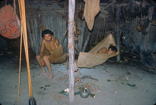
Amazona, Brazil, 1976. Two sleepy Yanomami Indigenous men in their hut.
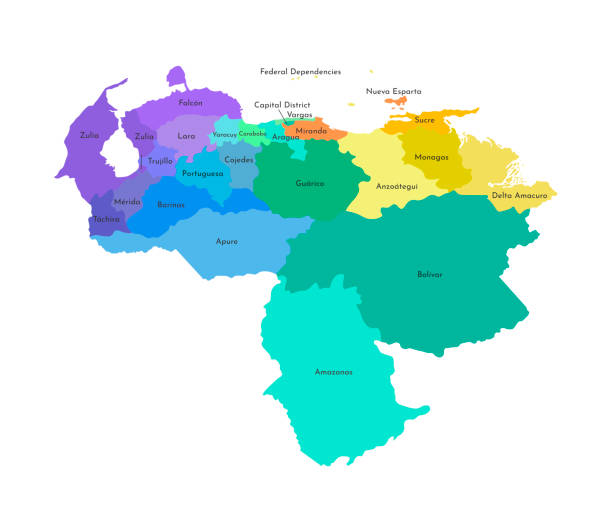
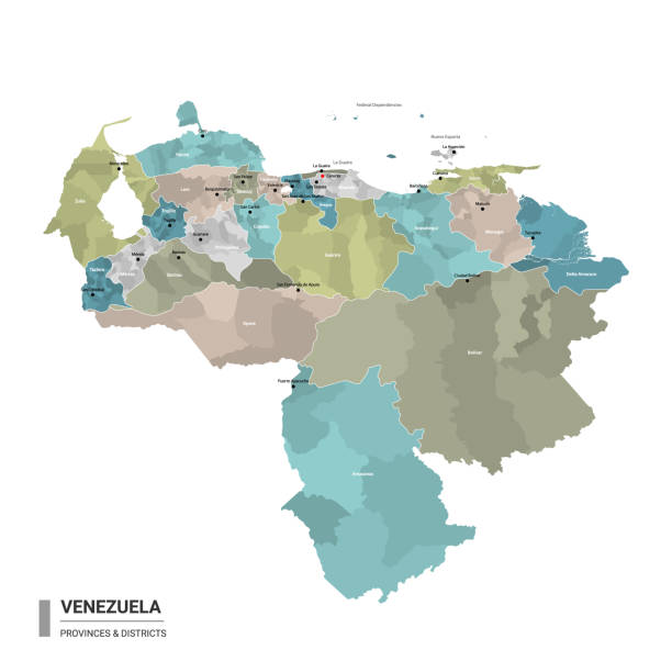
Vector isolated illustration of simplified administrative map of Venezuela. Borders and names of the regions. Multi colored silhouettes.
Aerial photo of boat traveling down a river in Orinoco, Bolívar, Venezuela
Orinoco River, Venezuela
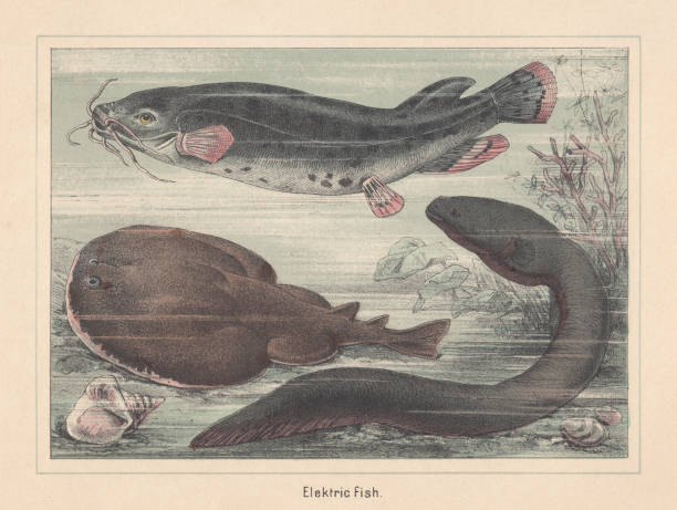
Electric fish species (from top to bottom): Electric catfish (Malapterurus electricus); Marbled electric ray (Torpedo marmorata); Electric eel (Electrophorus electricus). Hand-colored lithograph, published in 1885.
all Flags states of Venezuela. Vector illustraion
Orinoco River, Venezuela
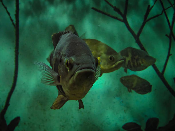
Oscar Fish (Astronotus ocellatus). Fishes in the Brazilian state of Parana
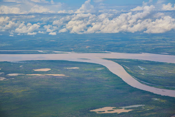
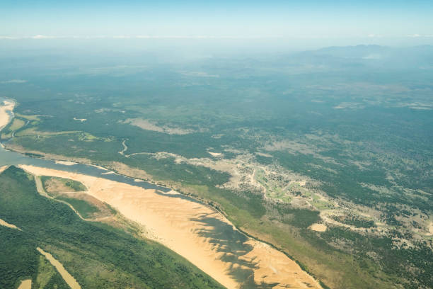
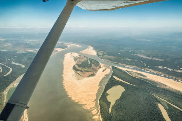
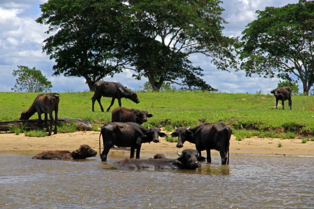
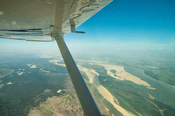
Aerial view of the Orinoco river near Puerto Ordaz, Venezuela. The Orinoco is the second river in South America following the Amazon River in Brazil. It is one of the longest rivers with 2,140 km and its drainage basin covers 880,000 square kilometres. The Orinoco and all its tributaries are the main transport system for eastern and interior Venezuela and the llanos of Colombia.
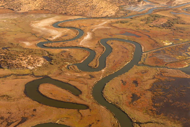
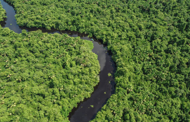
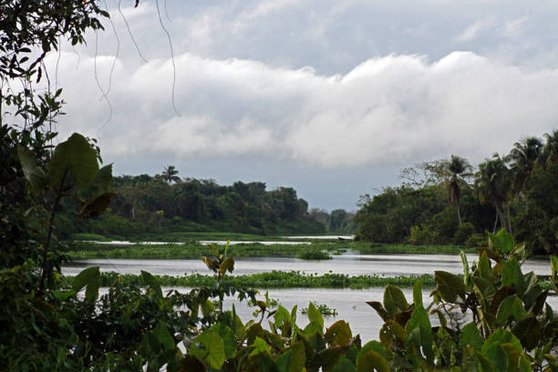
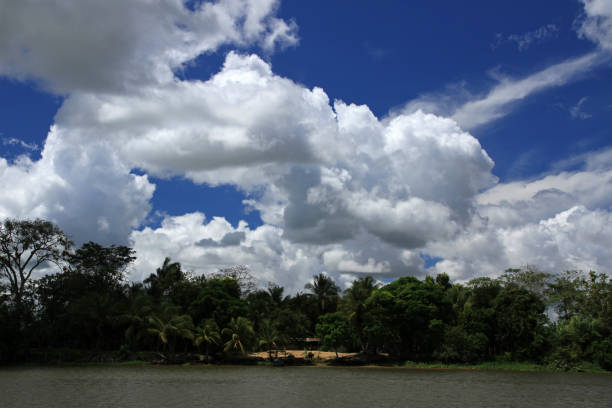
Landscape in the Orinoco's Delta. The Warao are an indigenous people inhabiting northeastern Venezuela and western Guyana. Alternate common spellings of Warao are Waroa, Guarauno, Guarao, and Warrau. The term Warao translates as "the boat people," after the Warao's lifelong and intimate connection to the water. Most of the approximately 20,000 Warao inhabit Venezuela's Orinoco Delta region, with smaller numbers in neighboring Guyana and Suriname. They speak an agglutinative language, also called Warao.
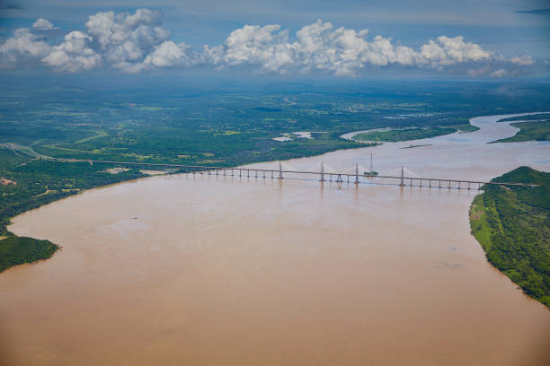
Orinoquia bridge over Orinoco river. Puerto Ordaz, Venezuela. The Orinoco is the second river in South America following the Amazon River in Brazil. It is one of the longest rivers with 2,140 km and its drainage basin covers 880,000 square kilometres. The Orinoco and all its tributaries are the main transport system for eastern and interior Venezuela and the llanos of Colombia.
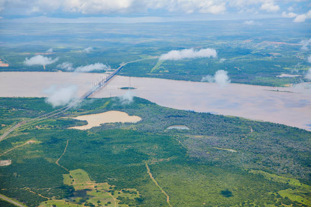
Orinoquia bridge over Orinoco river. Puerto Ordaz, Venezuela. The Orinoco is the second river in South America following the Amazon River in Brazil. It is one of the longest rivers with 2,140 km and its drainage basin covers 880,000 square kilometres. The Orinoco and all its tributaries are the main transport system for eastern and interior Venezuela and the llanos of Colombia.
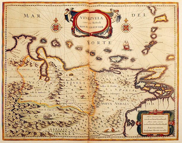
Antique map of Venezuela in South America. Published by the Dutch cartographer Willem Blaeu in Atlas Novus (Amsterdam 1635). Photo by N. Staykov (2007)
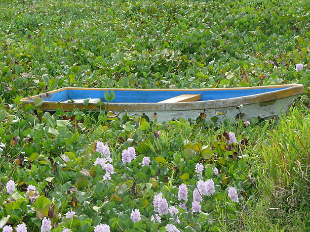
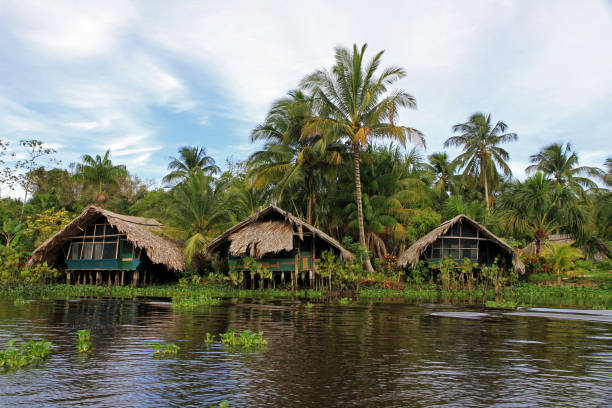
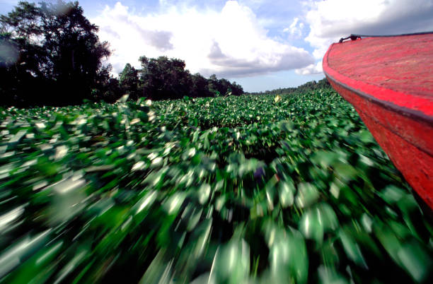
A colorfull boat surroanded by bora in Delta Amacuro, Venezuela
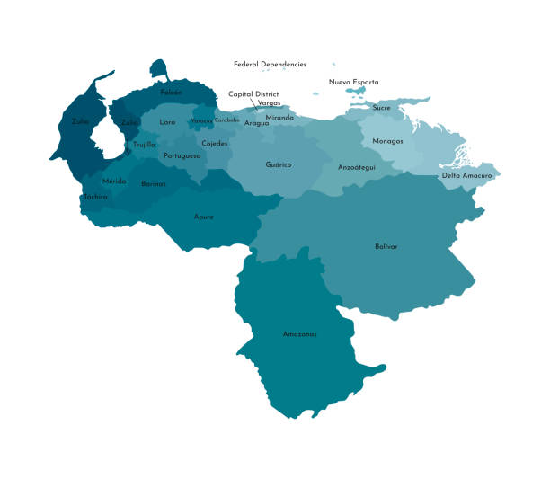
Vector isolated illustration of simplified administrative map of Venezuela. Borders and names of the regions. Colorful blue khaki silhouettes.
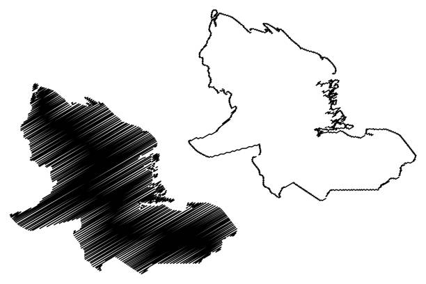
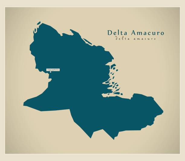
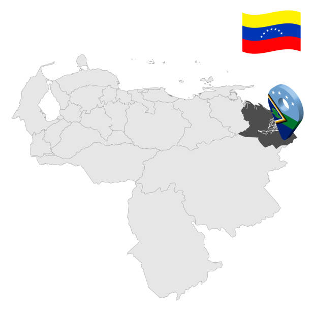
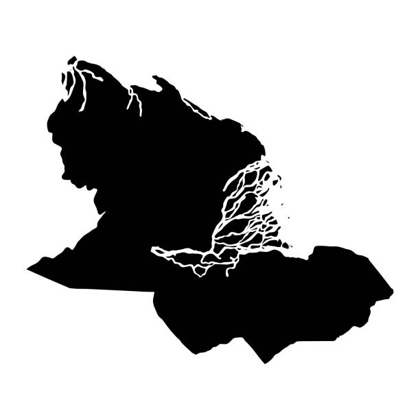
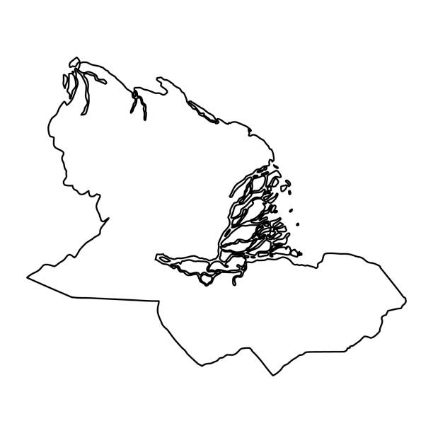
Delta Amacuro State (Bolivarian Republic of Venezuela, States, Federal Dependencies and Capital District) map vector illustration, scribble sketch Delta Amacuro map
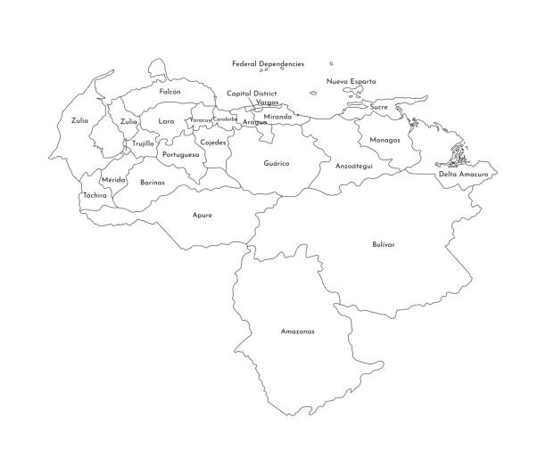
Vector isolated illustration of simplified administrative map of Venezuela. Borders and names of the regions. Black line silhouettes.

sad little face of a cat in the rest position, and dipped in his mood.

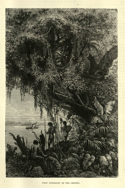
Vintage illustration Natives watching the first steamboat on the Orinoco river, Victorian 19th Century
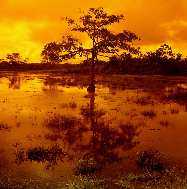
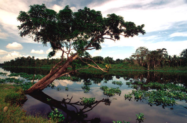
Sunset with tree.

Oscar Fish (Astronotus ocellatus). Fishes in the Brazilian state of Parana
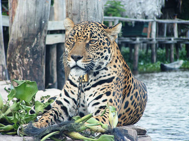
"A captive jaguar sits on a dock by the river in a jungle lodge in the Orinoco Delta, Venezuela."
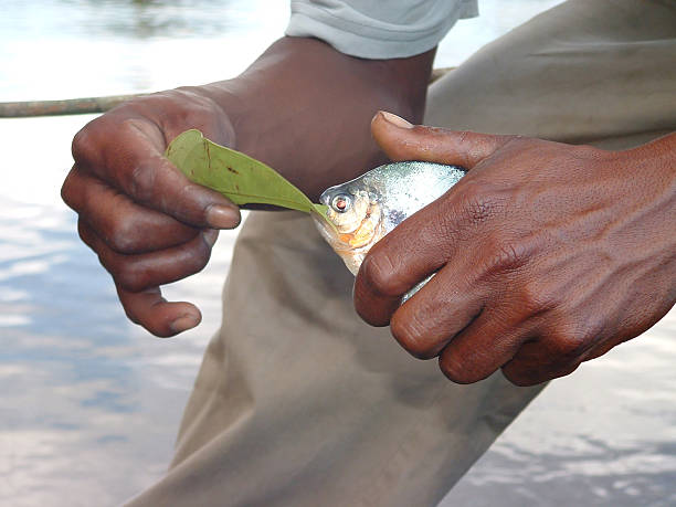
"A native guide holds a piranha, caught in the Orinoco Delta."
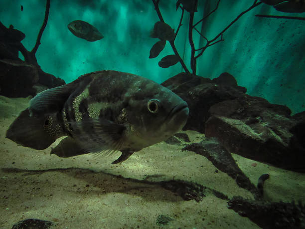
Oscar Fish (Astronotus ocellatus). Fishes in the Brazilian state of Parana
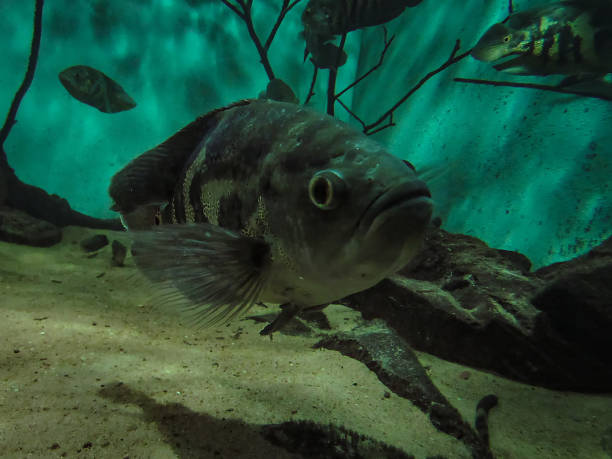
Oscar Fish (Astronotus ocellatus). Fishes in the Brazilian state of Parana
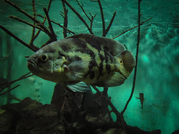
Oscar Fish (Astronotus ocellatus). Fishes in the Brazilian state of Parana

Vector isolated illustration of simplified administrative map of Venezuela. Borders of the regions. Multi colored silhouettes.
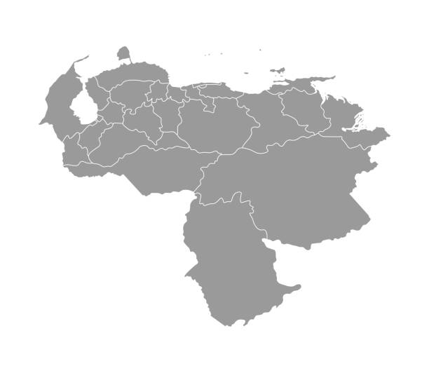
Vector isolated illustration of simplified administrative map of Venezuela. Borders of the provinces (regions). Grey silhouettes. White outline.
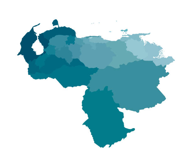
Vector isolated illustration of simplified administrative map of Venezuela. Borders of the regions. Colorful blue khaki silhouettes.

Delta Amacuro State of Venezuela flag on flagpole textile cloth fabric waving on the top sunrise mist fog
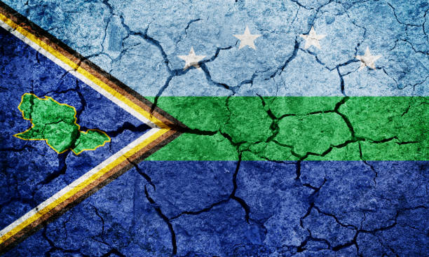
Delta Amacuro State flag, state of Venezuela, on dry earth ground texture background
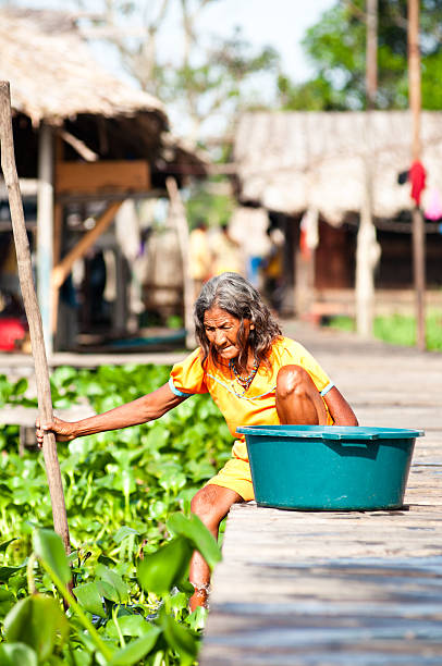
Tucupita, Venezuela - September 21, 2010 - Ancient Warao tribe woman ready to have a bath on the Orinoco river
A boat in the Orinoco River. The Warao are an indigenous people inhabiting northeastern Venezuela and western Guyana. Alternate common spellings of Warao are Waroa, Guarauno, Guarao, and Warrau. The term Warao translates as "the boat people," after the Warao's lifelong and intimate connection to the water. Most of the approximately 20,000 Warao inhabit Venezuela's Orinoco Delta region, with smaller numbers in neighboring Guyana and Suriname. They speak an agglutinative language, also called Warao.
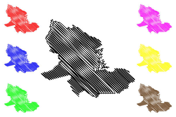
Delta Amacuro State (Bolivarian Republic of Venezuela, States, Federal Dependencies and Capital District) map vector illustration, scribble sketch Delta Amacuro map
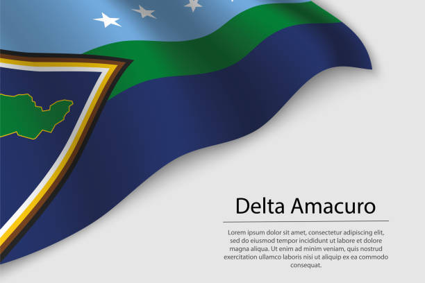
Wave flag of Delta Amacuro is a state of Venezuela. Banner or ribbon vector template
Detiails of Manila Cathedral facade at the Intramuros area of manila

Detiails of Manila Cathedral facade at the Intramuros area of manila

Detiails of Manila Cathedral facade at the Intramuros area of manila
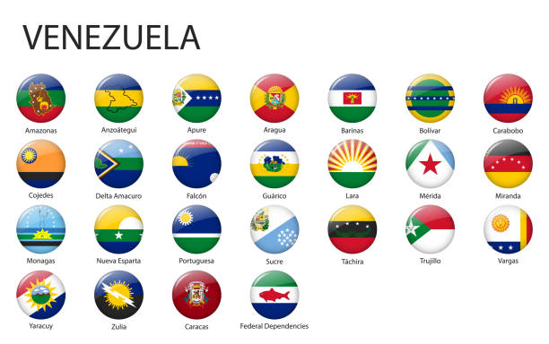
all Flags of regions of Venezuela. Glossy button flag design
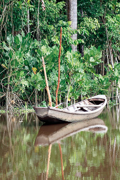
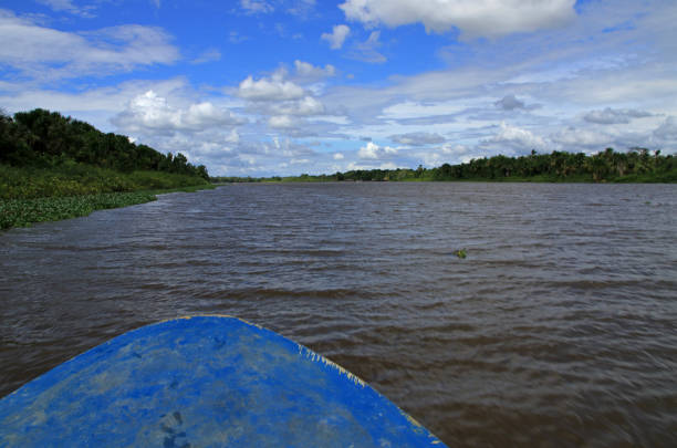
Small boat in the Orinoco Delta in the jungle of Venezuela in SAdamerika

Detiails of Manila Cathedral facade at the Intramuros area of manila

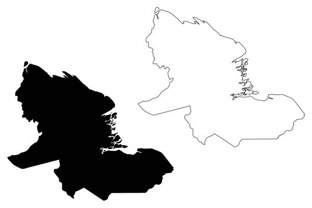
Delta Amacuro State (Bolivarian Republic of Venezuela, States, Federal Dependencies and Capital District) map vector illustration, scribble sketch Delta Amacuro map
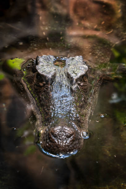
Smooth-fronted caiman (Paleosuchus trigonatus) submerged in water, crocodilian in the family: Alligatoridae, native region: the Amazon and Orinoco Basins, South America.

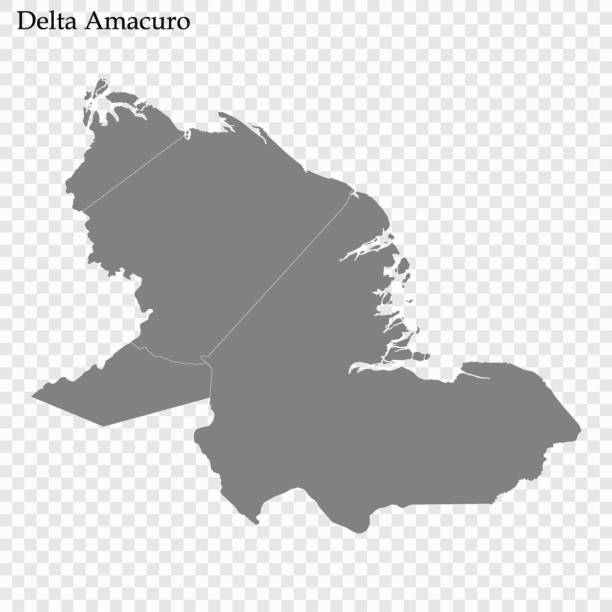
High Quality map of Delta Amacuro is a state of Venezuela, with borders of the municipalities