-
 Point of departure:
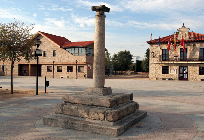
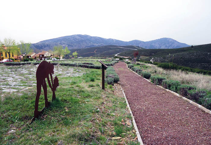
El Berrueco. The pillory squareSimple route for all audiences, that takes us to the shore of the reservoir and introduces us to elements of hydraulic architecture such as the Almenara.
DATOS TÉCNICOS
Description
The route departs from Picota Square, at El Berrueco, continue along Calle Real and the M-131 road towards Torrelaguna until you take a detour to the left by the La Casilla road or Canal road. At this point there is an information panel of the, with general facts and a brief description of the route. A laundry room and a watering hole are left and the route continues along the dirt road. You reach a wider area where you cross the paths of the Watchtower (local) and the Genaro (GR 300). The path of La Almenara goes down to the reservoir by a well-defined track, and reaches the Almenara de El Berrueco located on the Canal de El Villar. A little further on, the village scrubber is left on the left.
The path continues to skirt the reservoir for just over a kilometre to a viewpoint with an informative sign, point at which the return to El Berrueco begins, keeping Vallehondo urbanization on the right. From here the route coincides with the path of the Genaro so we will have to follow the signs of this path, between pastures and freshening, until we reach the M-127 road that will take us to the end of the route, in Picota Square.
The Almenara de El Berrueco is a construction associated with the El Villar Canal and is used to manage the flow of water and allow maintenance through a system of gates. The Canal de El Villar was built in 1912 and has its origins in the el Villar reservoir. He completes his tour at the depot in Torrelaguna where he joins the Jarama Canal and the El Atazar Canal.
The route skirts the water sheet from a certain height, allowing you to enjoy good views of the reservoir and the village of Cervera de Buitrago, on the other side. If the reservoir is not at its maximum capacity you can see the characteristic "eyebrow" which is the part of the hillside subjected to the height variations of the embalmed water and in which it is difficult for the vegetation to grow.
The predominant vegetation is a jar of jara pringosa with junipers, Pilgrims, cantuesos and wild rose bushes. The ground, very sandy, is the result of erosion of granite rocks, típicas de la zona, que se descomponen en granos de cuarzo, feldespato y mica.
Related tourist information
")
")
")