

A Stunning Hike On The Los Lagos Trail In Huerquehue National Park Near Pucon, Chile
/After our grueling experience climbing Volcan Villarrica a week prior, Nicole and I were gun shy to set off on further trekking expeditions during our two week stay in Pucon, Chile. Nonetheless, since Pucon is an outdoor paradise, we didn't want to waste time there not taking advantage. And if you fall off a horse, you've got to get right back on! (And Nicole did get on an actual horse a few days after the volcano hike, doing a guided tour with Centro Ecuestre San Pedro recommended by Summit Chile which she loved.)
Based on our internet research and talking to people in the area, after climbing the volcano, the "Los Lagos" (ie, The Lakes) trail in the nearby Huerquehue National Park is the next most popular hiking activity in the area. The shorter circuit -- a little over eight miles and estimated to take between four and a half and six hours -- seemed like a perfect challenge to get our hiking legs back underneath us. (A longer ten mile circuit is also possible but we figured the short circuit would be plenty and, indeed, when we did the hike in early December, the turnoff to the longer circuit was covered in snow.)


So, clad in shorts and tennis shoes, we set off early one morning for the national park. The first thing we noticed is that the drive to the park and trail head was not designed with our rented Volkswagen Gol hatchback in mind. Approximately an hour's drive from Pucon, the national park is easy enough to find, but the rough dirt roads would be better suited for an SUV. Nonetheless, we made it fine. Most tourists in the area take the public bus to the trail head, and this seemed like it would have been a great option for anyone without access to a car. We hiked most of the day along with a bus full of hikers that had been dropped off around the time we arrived.


After paying the entry fee at the ranger station (approximately U.S. $8/person), the trail head 200 yards beyond is well marked and easy to find.
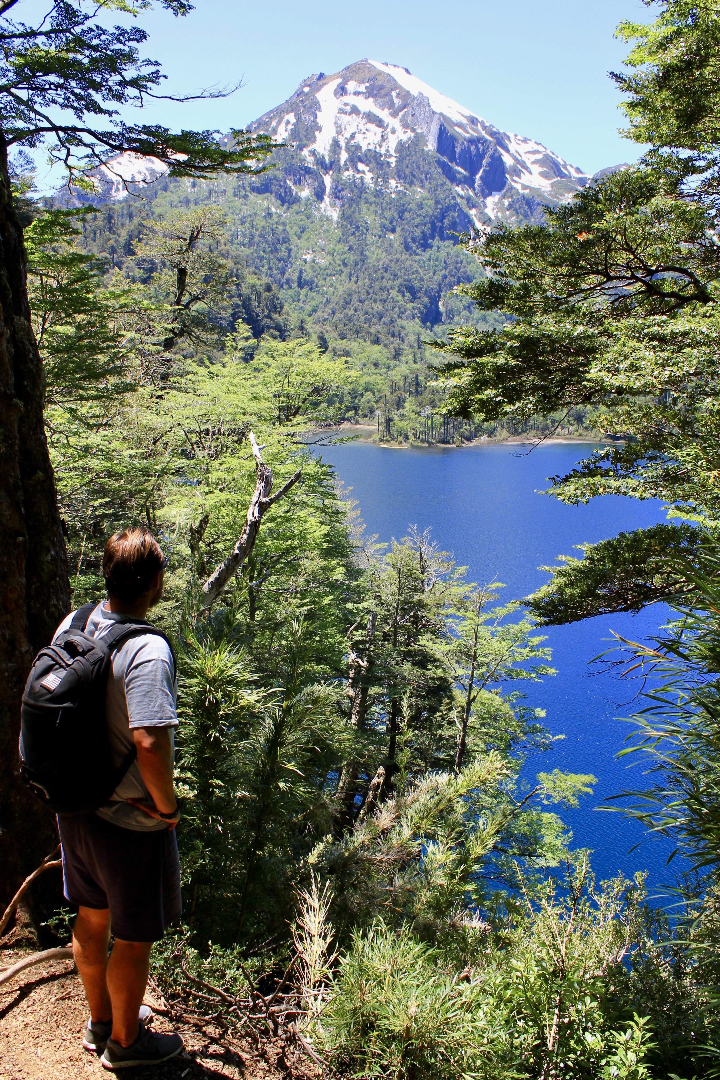
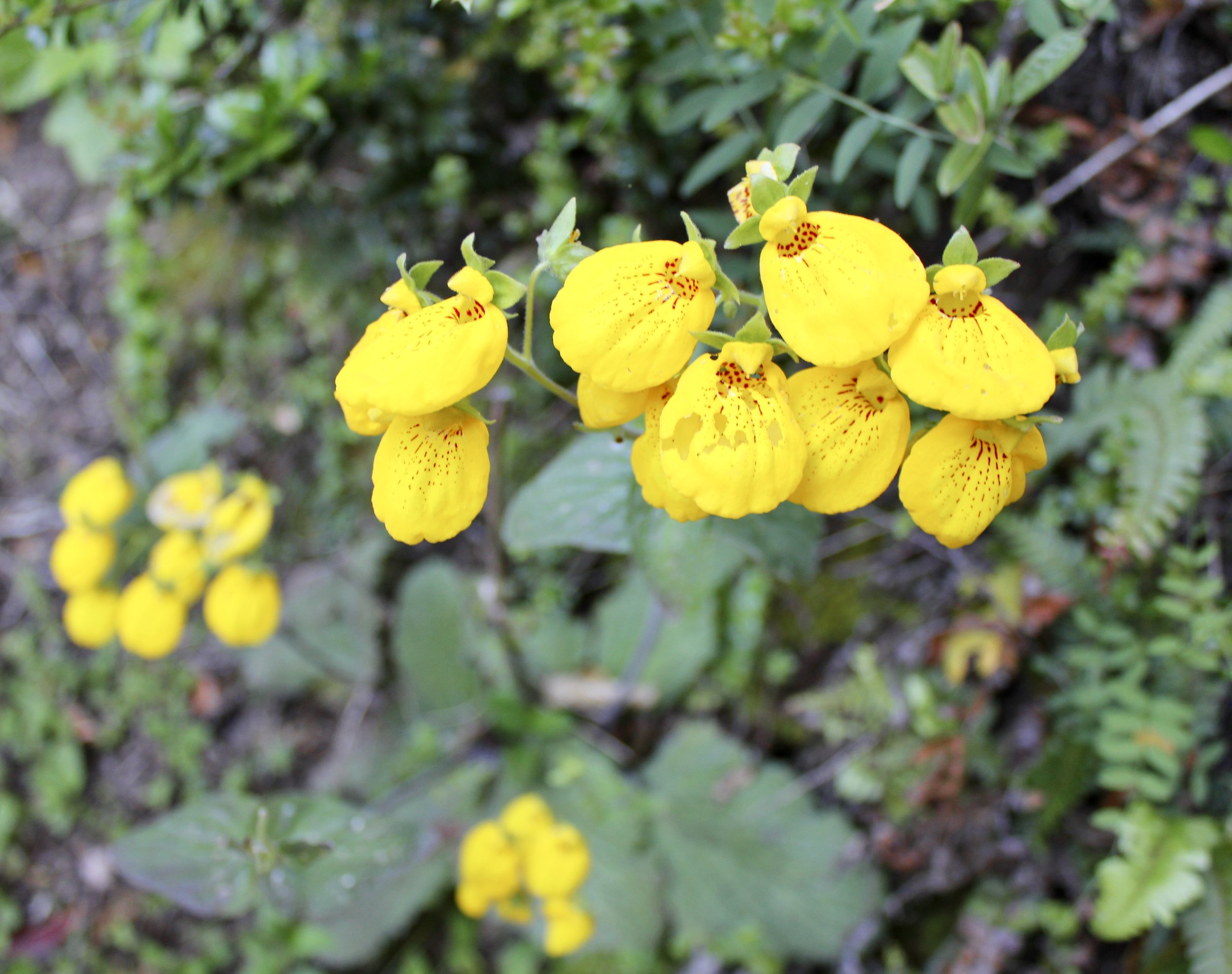
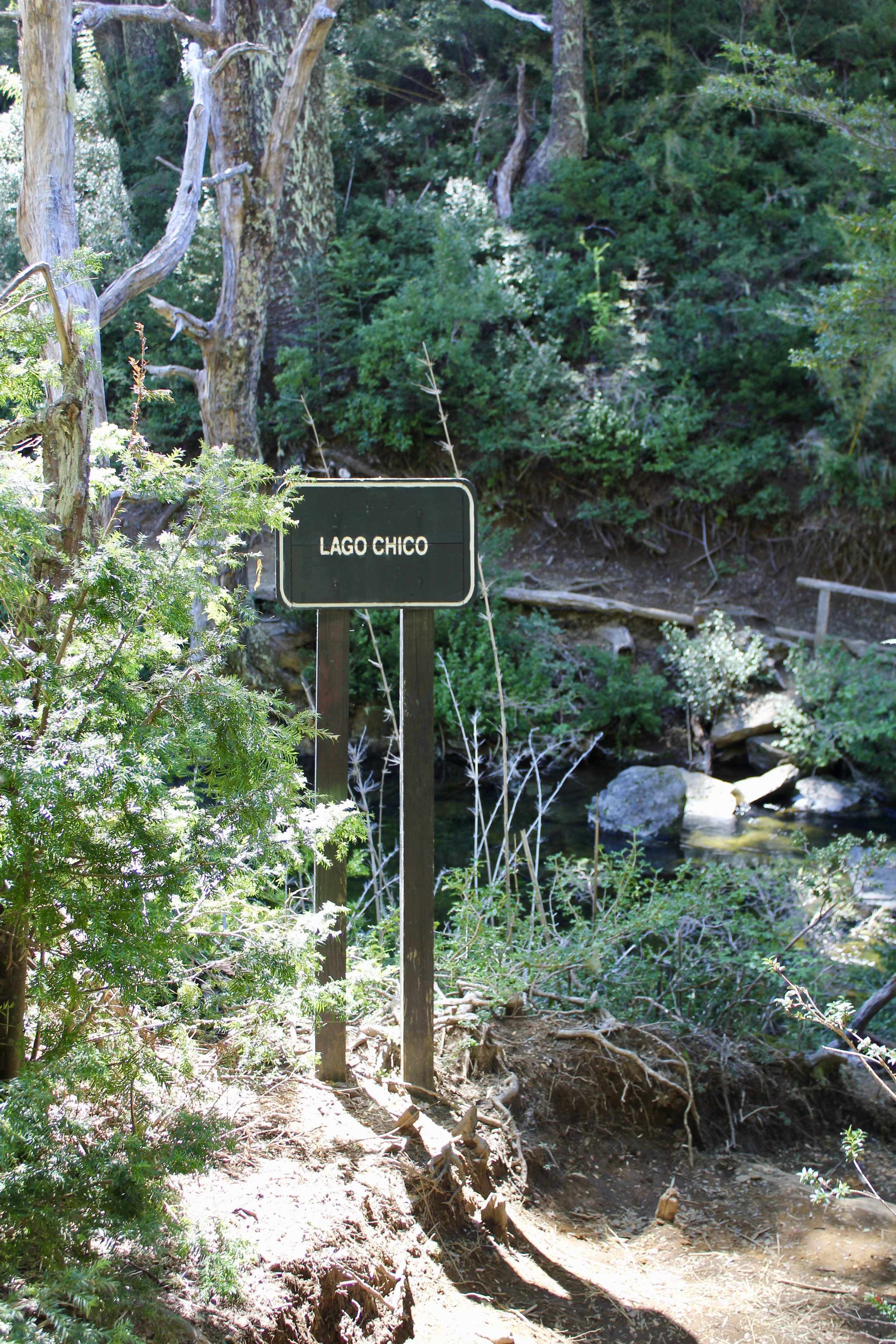
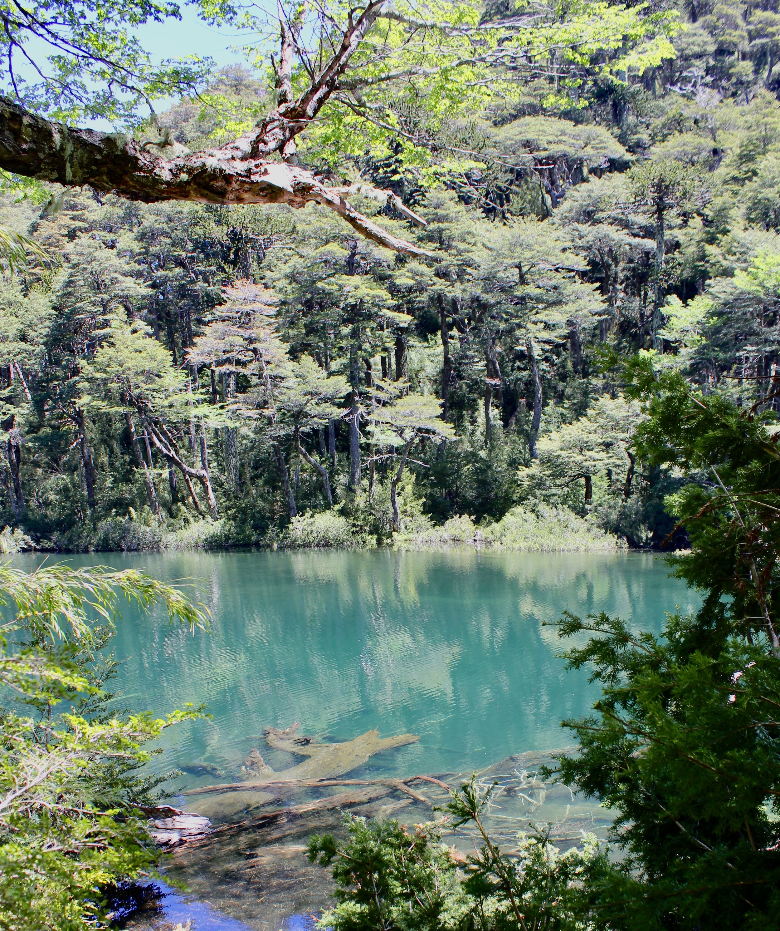
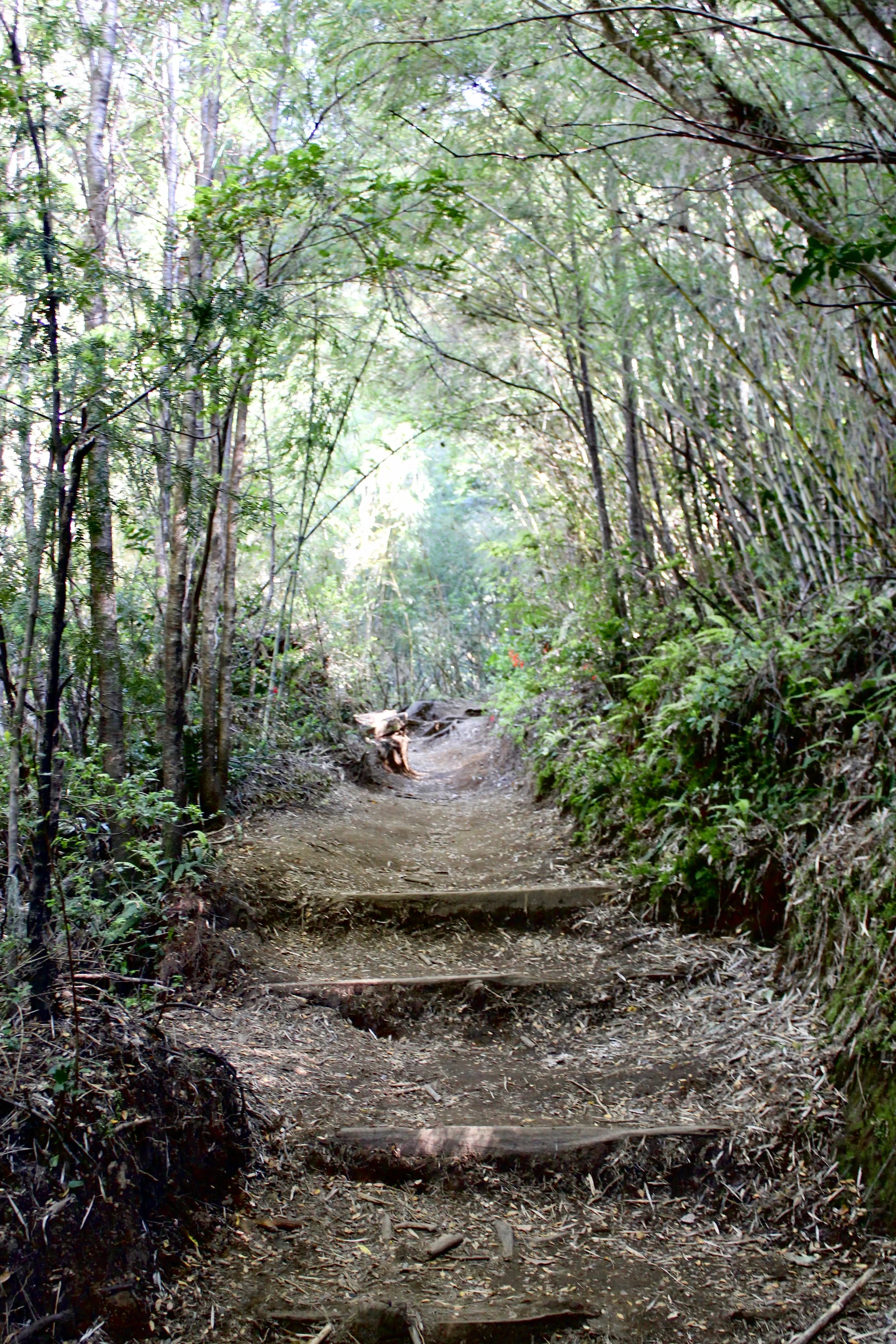
The hike itself is stunning, one of the best Nicole and I have ever done. Old growth trees and bamboo shoots line the well maintained trail with small bridges over waterways and rustic steps in steeper areas. After an initial climb of approximately an hour and a half we arrived at the first of the lakes -- Lake Chico -- where the path flattens out. Here is where the scenery really became breathtaking, the mountain lakes gorgeously surrounded by lush vegetation. We hiked beside Lake Chico and arrived at the southern shore of the next lake -- Lake Verde -- right around the two hour mark. This is a popular place to stop and eat lunch which we did, along with a handful of other hikers who stopped there as well.
(Tip: Between Lake Chico and Lake Verde, we encountered the first split in the trail where it was unclear which way to go. Following these (admittedly not overly detailed) directions, we went to the left and arrived at the south end of Lake Verde in another 15 minutes or so.)
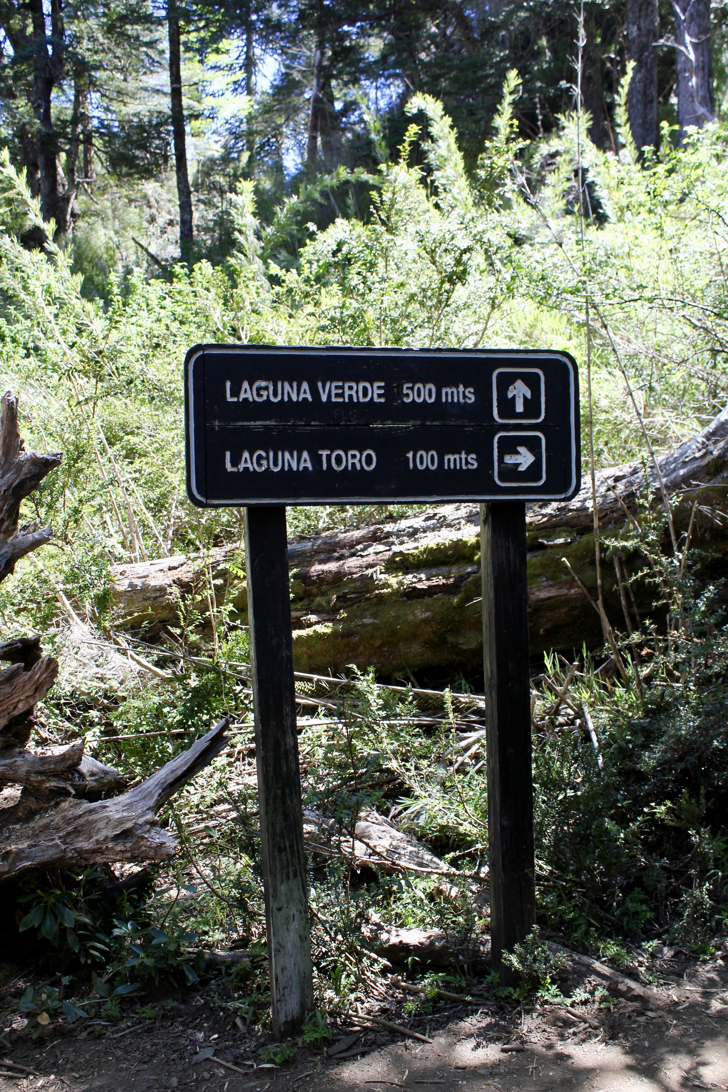
From Lake Chico the trail splits to Verde and Toro
From Lake Verde, the shorter trail circuit cuts east directly across to Lake Toro whereas the longer circuit loops further north towards two additional lagoons before arriving back at Lake Toro. The section of the trail between Lake Verde and Lake Toro was the only section not impeccably maintained. In a few places we had to crawl over fallen trees and navigate areas where the trail had been washed out although I would assume this section will soon be fixed to be easily passable like the rest of the trail.


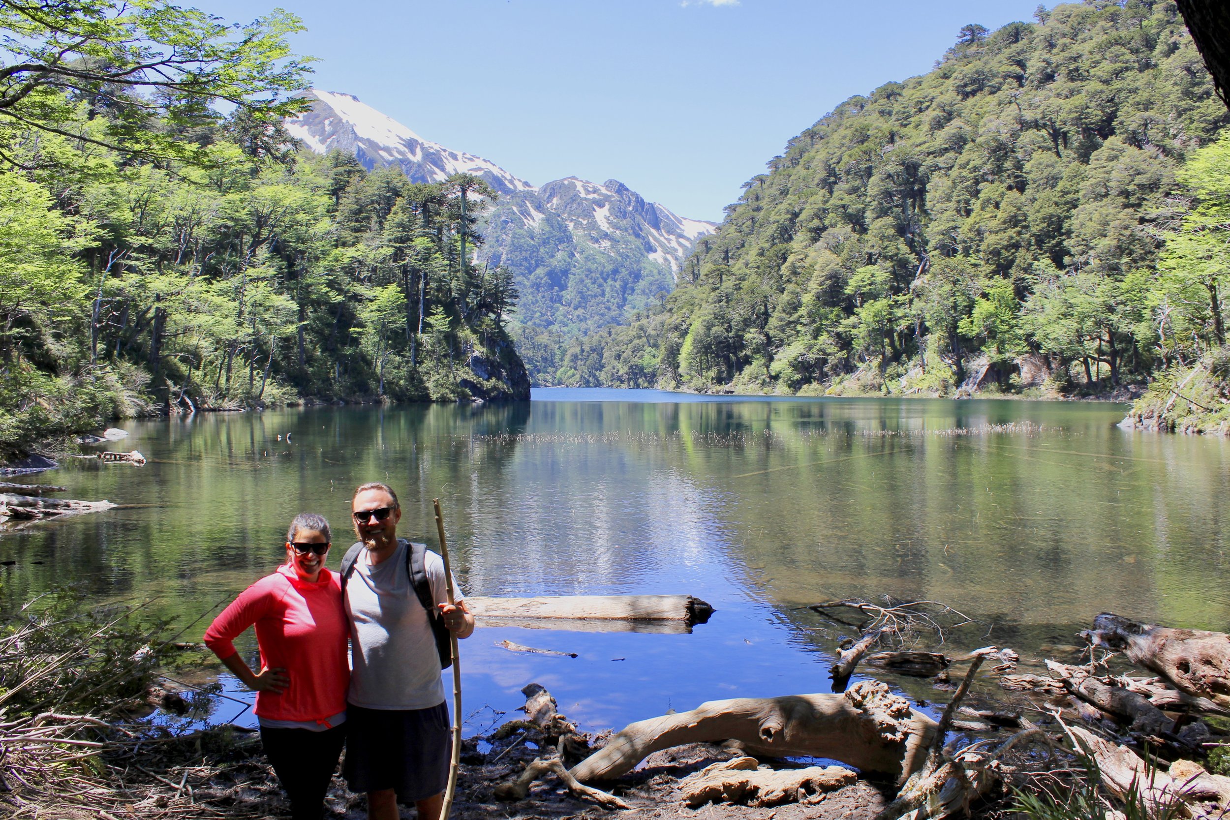
After passing by Lake Toro the trail meets back up with itself and the rest of the way back was on the same section of trail we arrived by. We did take a minor, quarter mile detour on the descent to look at a waterfall that was well worth it.


Overall, we couldn't have been happier with the trek. The scenery was stunning and the difficulty not extreme. We would note that the trail could be marked better in areas and that it seems crazy that there isn't a detailed trail map available at the ranger station. It probably makes sense to take a picture of the map posted at the trail head (pictured below) for reference along the hike and also to make sure you have a phone with GPS along. Nonetheless, we navigated our way without any major problems.
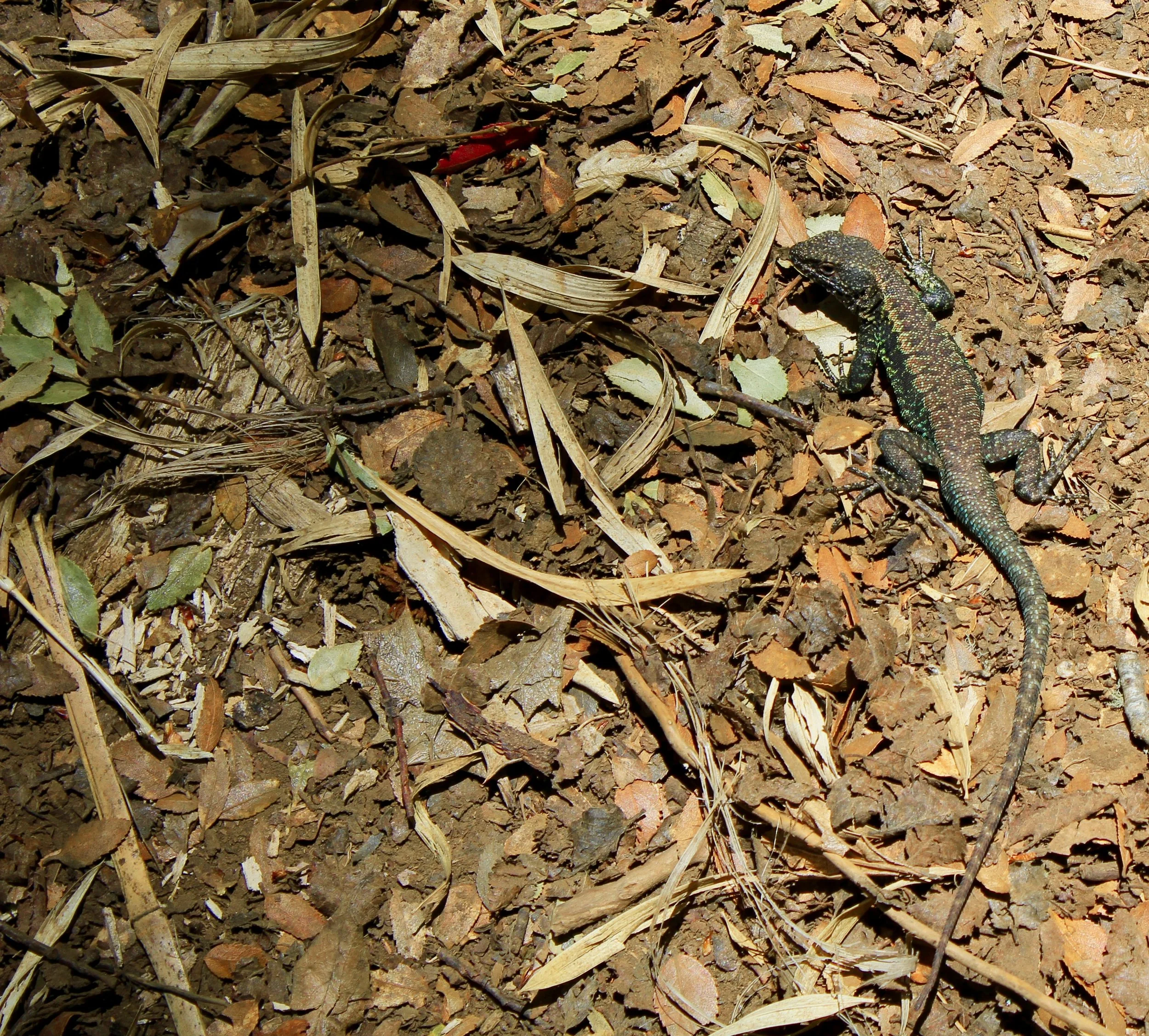
Also of note, although we didn't see much wildlife, the area is noted for an abundance of tarantula spiders. We only saw one (pictured above). You've been warned!
Finally, as noted in many of the Trip Advisor reviews, if possible try to plan your visit for a time after it's been dry in the area for a few days. The dirt trail, which is steep in sections, would be a lot less fun to trek in muddy conditions. (A bamboo walking stick, easily found along the way, also helps with the terrain.)

For anyone spending time in Pucon, we would highly recommend making this part of the itinerary. We loved it!

