Aguilar
Philippines /
Ilocos /
Ninoy /
World
/ Philippines
/ Ilocos
/ Ninoy
World / Philippines / Pangasinan / Aguilar
town, municipality, third-level administrative division


Municipality of Aguilar, Province of Pangasinan
Land Area: 195.07 km²
ZIP Code: 2415
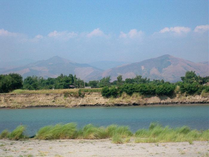
Aguilar is a landlocked municipality in the province of Pangasinan in the Philippines. As of the 2010 Census, it had a population of 39,529 people.
Aguilar is politically subdivided into 16 barangays:
-Bayaoas
-Baybay
-Bocacliw
-Bocboc East
-Bocboc West
-Buer
-Calsib
-Laoag
-Manlocboc
-Niñoy
-Panacol
-Poblacion
-Pogomboa
-Pogonsili
-San Jose
-Tampac
Pangasinan Webpage: www.pangasinan.org/aguilar/
Land Area: 195.07 km²
ZIP Code: 2415
Aguilar is a landlocked municipality in the province of Pangasinan in the Philippines. As of the 2010 Census, it had a population of 39,529 people.
Aguilar is politically subdivided into 16 barangays:
-Bayaoas
-Baybay
-Bocacliw
-Bocboc East
-Bocboc West
-Buer
-Calsib
-Laoag
-Manlocboc
-Niñoy
-Panacol
-Poblacion
-Pogomboa
-Pogonsili
-San Jose
-Tampac
Pangasinan Webpage: www.pangasinan.org/aguilar/
Wikipedia article: http://en.wikipedia.org/wiki/Aguilar,_Pangasinan
Nearby cities:
Coordinates: 15°49'32"N 120°13'31"E
- Mangatarem 7 km
- San Jose 32 km
- Candelaria 37 km
- Santa Cruz 38 km
- Capas 45 km
- Mabini 53 km
- Botolan 58 km
- Subic 92 km
- Bokod 98 km
- Kayapa 105 km
- Maples 1.1 km
- Gonzales 1.2 km
- Laoag 6.5 km
- Mapita 8.4 km
- Rodolfo S. Javier, et al Title Real Property 9 km
- Umanday 13 km
- Mt. Zion Pilgrim Mountain 14 km
- Rice fields 15 km
- Mount Mangatarem 15 km
- Pangasinan 26 km
Comments