Kem
Russia /
Karelija /
Kem /
World
/ Russia
/ Karelija
/ Kem
, 6 km from center (Кемь)
World / Russia / Karelia
city, district center
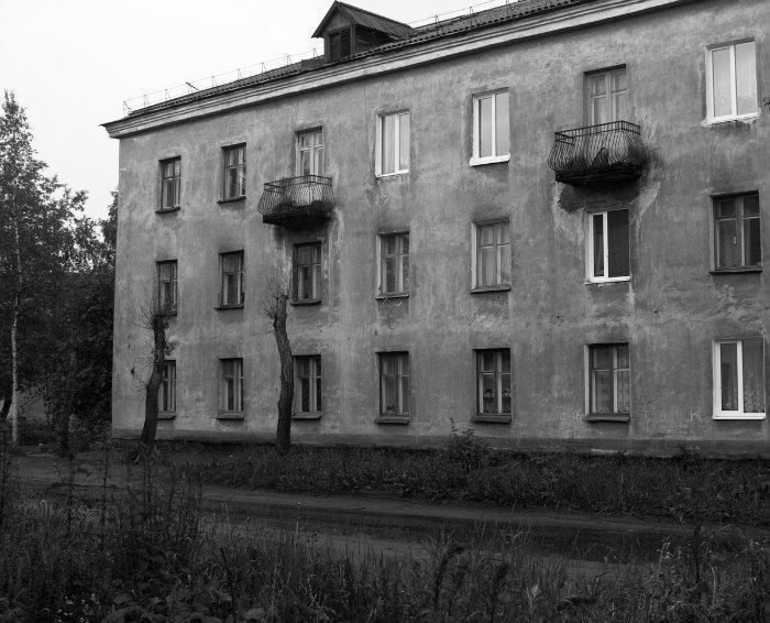
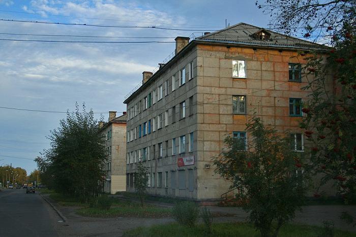
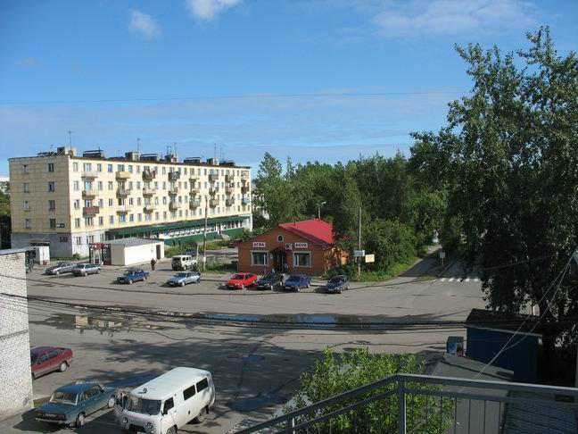
Historic town and the administrative center of Kemsky District of the Republic of Karelia, Russia, located on the shores of the White Sea where the Kem River enters it, on the railroad leading from Petrozavodsk to Murmansk. It had a population of 13,051 as of 2010, which was down from previous years.
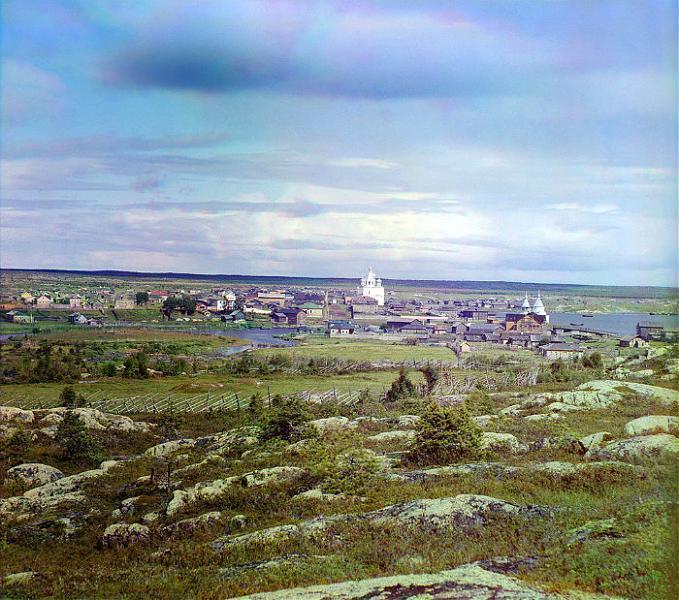
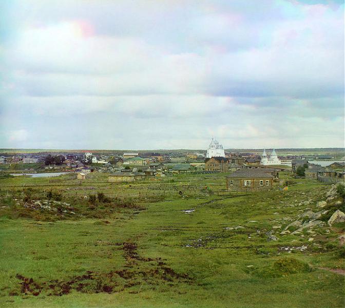
Kem was first mentioned as a demesne of the Novgorod posadnik Marfa Boretskaya in 1450, when she donated it to the Solovetsky Monastery (situated in the White Sea several kilometers off shore). In 1657, a wooden fort was erected there. Also wooden is the town's remarkable cathedral, built in 1711–1717. It is a fine example of the tented roof-construction so popular in old Russian architecture. The cathedral's iconostasis features precious 17th-century icons from Novgorod. Town status was granted to Kem in 1785. On April 10, 1918 the town was reached by Finnish troops during the Viena expedition in an attempt to join White Karelia to Finland. In 1926–1939, Kem was used as departure place for boats headed to Solovetsky Islands carrying political prisoners. During the Cold War, the town was the site of the Poduzhemye air base, a key interceptor aircraft airfield covering Karelia.
Kem was first mentioned as a demesne of the Novgorod posadnik Marfa Boretskaya in 1450, when she donated it to the Solovetsky Monastery (situated in the White Sea several kilometers off shore). In 1657, a wooden fort was erected there. Also wooden is the town's remarkable cathedral, built in 1711–1717. It is a fine example of the tented roof-construction so popular in old Russian architecture. The cathedral's iconostasis features precious 17th-century icons from Novgorod. Town status was granted to Kem in 1785. On April 10, 1918 the town was reached by Finnish troops during the Viena expedition in an attempt to join White Karelia to Finland. In 1926–1939, Kem was used as departure place for boats headed to Solovetsky Islands carrying political prisoners. During the Cold War, the town was the site of the Poduzhemye air base, a key interceptor aircraft airfield covering Karelia.
Wikipedia article: http://en.wikipedia.org/wiki/Kem,_Russia
Nearby cities:
Coordinates: 64°57'26"N 34°37'35"E
- Arkhangelsk 269 km
- Petrozavodsk 341 km
- Saint Petersburg 588 km
- Alavus centre 598 km
- Tampere 651 km
- Kangasala 654 km
- Ylöjärvi 661 km
- Sastamala 706 km
- Espoo (City) 726 km
- Nizhny Novgorod 1065 km
- Memorial for World Wars 0.9 km
- Former House of Culture 1.3 km
- Gayzhevo 1.5 km
- Kem electrical sub-station 1.9 km
- Puetnaya ulitsa, 3 2.1 km
- Puetnaya ulitsa, 1 2.3 km
- Puetnaya ulitsa, 5 2.3 km
- Kem railway station 2.6 km
- Railroad Hospital 3 km
- Secondary school No. 3 3.2 km