
El Arrayan
El Arrayan is next to Tomé and is located in Provincia de Concepción, Biobío, Chile. El Arrayan has a length of 0.38 kilometres.
- highway: residential
- surface: unpaved
Latitude: -36°37'4.08"
Longitude: -72°56'21.84"
The superior administrative division is Provincia de Concepción.
Well known places, streets and travel destinations
- Cerro Estanque
- Camino ex Linea Ferrea
- Cementerio Tome
- Llancolen
- Avenida Carlos Werner
- R. Rivera
- A. Bello
- Camilo Henriquez
- La Merced
- Enrique Molina Garmendia
- Aisén
- Los Ciruelos
- Maule
- Piloto Pardo
- Andes
- Arica
- Pje Cohelemu
- Pje Carahue
- Patria Nueva
- Esperanza
- Pje Curicó
- Angol
- Pje Puyehue
- Llanquihue
- Leverkkussen
- Pje Arica
- Rafael Ampuero
- Pje Werner
- Lago Lanalhue
- Lago Ranco
- Lago Laja
- Lago Villarrica
- B.Gana
- Tome - Cocholgüe
- Pje Gorbea
- Nueva Esperanza
- Av Diagonal Bio Bio
- Cementerio
- Camino a Penco
- Camino a Tomé
- Antigua Ruta 150
- Playa Bellavista
- A Latorre
- Avenida Central
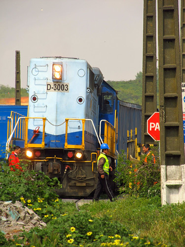
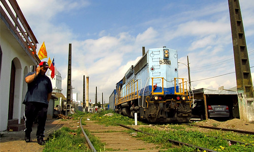
pictures near El Arrayan
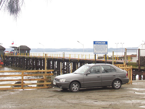
 (by order_242)


| Near by ,,El Arrayan´´ | |
|---|---|
| cove(s) | Caleta Matanzas, Caleta Cocholgue |
| farm | Bellavista |
| hill | Morro Huique, Cerro Reñeche, Cerro Caracol, FUNDO EL EDEN, Cerro Corcovado |
| locality | Cocholhue, Carlos Werner |
| mountain | Cerro El Peumo, Cerro Cocholhue, Cerro Neuque |
| populated place | Tomé, Frutillares |
| port | Puerto Tomé |
| point | Punta Tomé, Punta Morro Tomé, Punta Parra, Punta Montecristo |
| rocks | Rocas Zealous |
| stream | Estero Coliumo, Estero Bellavista, Estero Collén |
This site based on the informations provided by openstreetmap.org, from on 2012-12-01T09:00:11Z.


