
Río Riachueló
Río Riachueló is a stream and is located in Santander, Colombia. The estimate terrain elevation above seal level is 1857 metres. Variant forms of spelling for Río Riachueló or in other languages: .
Latitude: 6°23'23.39"
Longitude: -73°2'15.44"
Well known places, streets and travel destinations
- Cuchilla La Golondrina
- charalá
- Charalá-Mogotes Municipal Boundary
- Mogotes-Ocamonte Municipal Boundary
- ocamonte
- Mogotes-Valle de San José Municipal Boundary
- Coromoro-Mogotes Municipal Boundary
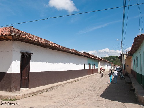
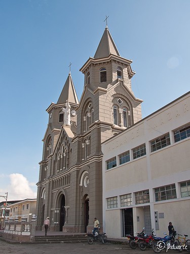
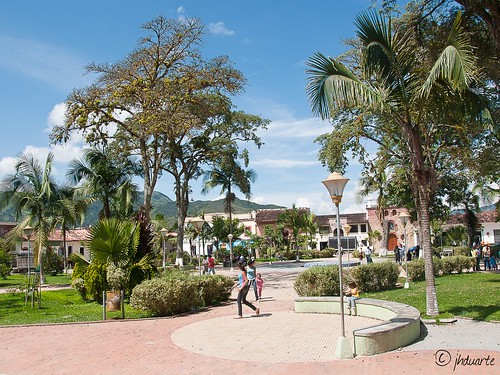
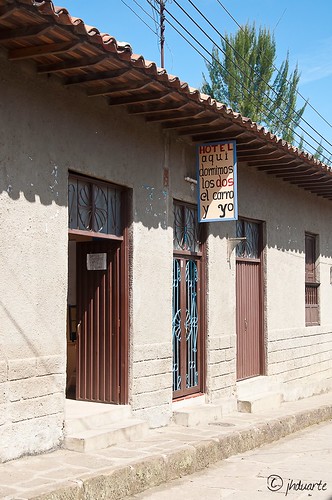
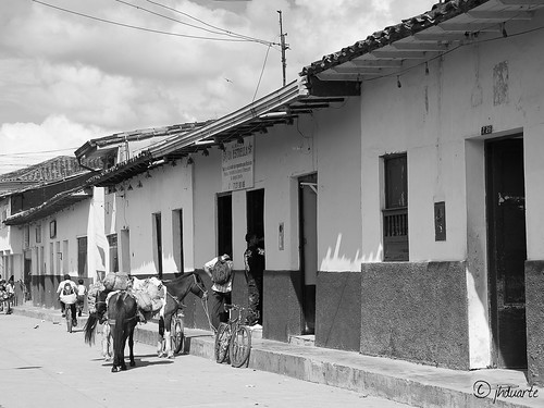
pictures near Río Riachueló
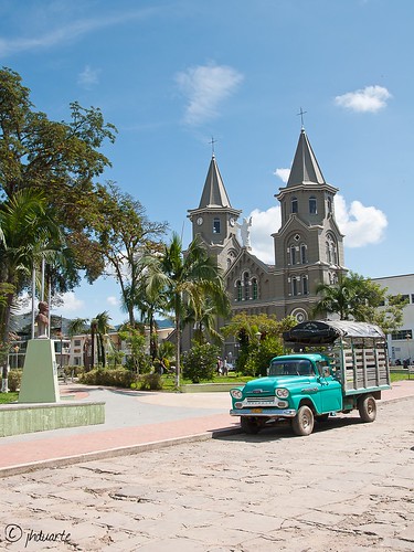
 (by jhduarte)
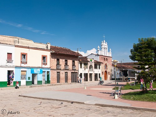

| Near by ,,Río Riachueló´´ | |
|---|---|
| second-order administrative division | Ocamonte |
| farm | Hacienda La Esmeralda, Hacienda Anacal |
| hill | Alto Chinival |
| mountain | Alto Panamá |
| populated place | Guare, La Victoria, Lomita de Suárez, El Cerro |
| ridge(s) | Cuchilla Santa Lucía, Cuchilla La Golondrina |
| school | El Cerro, Guare |
| stream | Río Riachueló, Río Chiquito |
| intermittent stream | Quebrada La Lejía, Quebrada El Crisol, Quebrada Palmichal, Quebrada Morro Negro, Quebrada La Julia, Quebrada Hoyo Nuevo, Quebrada La Rinconada, Quebrada La Cinta |


