File:924Rabon Damortis Road 46.jpg
Jump to navigation
Jump to search

Size of this preview: 800 × 600 pixels. Other resolutions: 320 × 240 pixels | 640 × 480 pixels | 1,024 × 768 pixels | 1,280 × 960 pixels | 2,560 × 1,920 pixels | 4,608 × 3,456 pixels.
Original file (4,608 × 3,456 pixels, file size: 6.15 MB, MIME type: image/jpeg)
Captions
Captions
Rabon-Damortis Road
Summary[edit]
| Description |
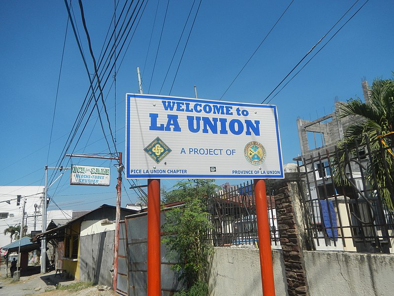
English: Bani North Bridge Bani, Rosario, La Union Bani Elementary School, Rosario Bani South Bridge K0404+734 Rabon, Rosario, La Union Isla LPB Corporation Rabon Plant Rabon Bridge K0404+841 Rabon, San Fabian, Pangasinan Welcome arch-border signs of Pangasinan (Rabon, San Fabian, Pangasinan) and La Union (Rabon, Rosario, La Union) Rabon-Damortis Road K0404+(-920) - K0407+243 and K0403+020 - K0407+271 La Union 2nd District Engineering Office from Damortis Anchor Triangle MacArthur Highway (Santo Tomas, La Union) Damortis, Rosario, La Union Category:Sitios and puroks of the Philippines Subdivisions of the Philippines List of barangays in La Union Barangay Damortis, Santo Tomas, La Union 16.2471, 120.4102 Santo Tomas, La Union bounded by Category:Sitios and puroks of the Philippines Subdivisions of the Philippines List of barangays in La Union Barangay Damortis, Rosario, La Union 16.2393, 120.4100 Bani, Rosario, La Union 16.2294, 120.4120 Rabon, Rosario, La Union 16.2171, 120.4173 Rosario, La Union, La Union province bounded by Category:Sitios and puroks of the Philippines List of barangays in Pangasinan, Barangays of Pangasinan, Barangays of Pangasinan, Barangay Rabon, San Fabian, Pangasinan 16.2016, 120.4218 San Fabian, Pangasinan (Note: Judge Florentino Floro, the owner, to repeat, Donor Florentino Floro of all these photos hereby donate gratuitously, freely and unconditionally Judge Floro all these photos to and for Wikimedia Commons, exclusively, for public use of the public domain, and again without any condition whatsoever). |
| Date | |
| Source | Own work |
| Author | Judgefloro |
| Camera location | | View this and other nearby images on: OpenStreetMap |
|---|
Rabon, Rosario, La Union 16.2171, 120.4173
Licensing[edit]
I, the copyright holder of this work, hereby publish it under the following license:
| This file is made available under the Creative Commons CC0 1.0 Universal Public Domain Dedication. | |
| The person who associated a work with this deed has dedicated the work to the public domain by waiving all of their rights to the work worldwide under copyright law, including all related and neighboring rights, to the extent allowed by law. You can copy, modify, distribute and perform the work, even for commercial purposes, all without asking permission.
|
File history
Click on a date/time to view the file as it appeared at that time.
| Date/Time | Thumbnail | Dimensions | User | Comment | |
|---|---|---|---|---|---|
| current | 11:57, 6 February 2020 | | 4,608 × 3,456 (6.15 MB) | Judgefloro (talk | contribs) | User created page with UploadWizard |
You cannot overwrite this file.
File usage on Commons
There are no pages that use this file.