File:Church of St Mary, Stapleford Tawney, Essex, England - from the west.jpg
From Wikimedia Commons, the free media repository
Jump to navigation
Jump to search
Size of this preview: 800 × 521 pixels. Other resolutions: 320 × 208 pixels | 640 × 416 pixels | 1,024 × 666 pixels | 1,280 × 833 pixels | 2,560 × 1,666 pixels | 5,290 × 3,442 pixels.
Original file (5,290 × 3,442 pixels, file size: 12.68 MB, MIME type: image/jpeg)
File information
Structured data
Captions
Summary[edit]
DescriptionChurch of St Mary, Stapleford Tawney, Essex, England - from the west.jpg |
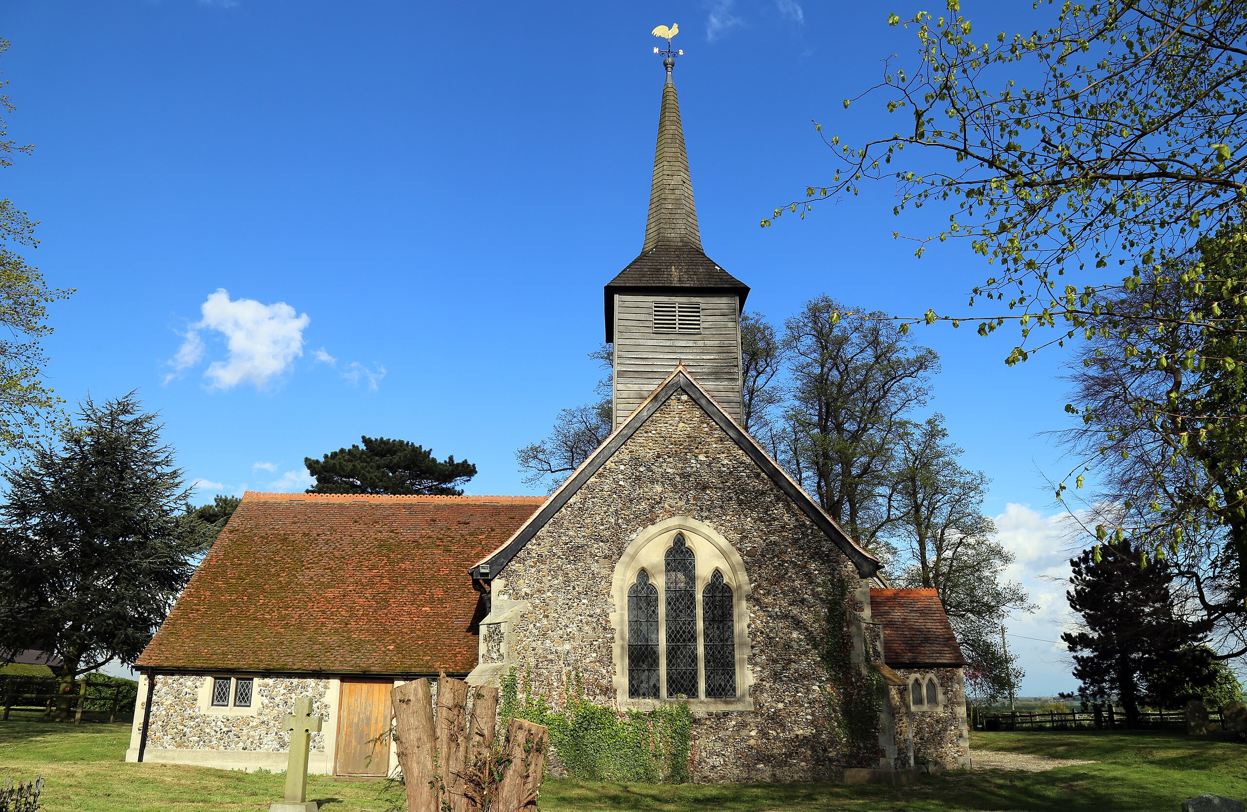
English: St Mary the Virgin parish church, Stapleford Tawney, Essex, England, seen from the west |
Date | |
Source | Own work |
Author | Acabashi |
Camera location | 51° 40′ 11.35″ N, 0° 10′ 17.33″ E | View this and other nearby images on: OpenStreetMap | 51.669820; 0.171480 |
---|
Licensing[edit]
I, the copyright holder of this work, hereby publish it under the following license:
This file is licensed under the Creative Commons Attribution-Share Alike 4.0 International license.
- You are free:
- to share – to copy, distribute and transmit the work
- to remix – to adapt the work
- Under the following conditions:
- attribution – You must give appropriate credit, provide a link to the license, and indicate if changes were made. You may do so in any reasonable manner, but not in any way that suggests the licensor endorses you or your use.
- share alike – If you remix, transform, or build upon the material, you must distribute your contributions under the same or compatible license as the original.
File history
Click on a date/time to view the file as it appeared at that time.
Date/Time | Thumbnail | Dimensions | User | Comment | |
---|---|---|---|---|---|
current | 12:42, 4 May 2015 | 5,290 × 3,442 (12.68 MB) | Acabashi (talk | contribs) | User created page with UploadWizard |
You cannot overwrite this file.
File usage on Commons
The following 2 pages use this file:
Metadata
This file contains additional information such as Exif metadata which may have been added by the digital camera, scanner, or software program used to create or digitize it. If the file has been modified from its original state, some details such as the timestamp may not fully reflect those of the original file. The timestamp is only as accurate as the clock in the camera, and it may be completely wrong.
Camera manufacturer | Canon |
---|---|
Camera model | Canon EOS 6D |
Author | Acabashi |
Copyright holder |
|
Exposure time | 1/200 sec (0.005) |
F-number | f/10 |
ISO speed rating | 100 |
Date and time of data generation | 16:28, 29 April 2015 |
Lens focal length | 24 mm |
Latitude | 51° 40′ 11.34″ N |
Longitude | 0° 10′ 17.32″ E |
Altitude | 66.3 meters above sea level |
Orientation | Normal |
Horizontal resolution | 72 dpi |
Vertical resolution | 72 dpi |
Software used | Adobe Photoshop CS2 Windows |
File change date and time | 03:15, 4 May 2015 |
Y and C positioning | Co-sited |
Exposure Program | Normal program |
Exif version | 2.3 |
Date and time of digitizing | 16:28, 29 April 2015 |
Meaning of each component |
|
APEX shutter speed | 7.625 |
APEX aperture | 6.625 |
APEX exposure bias | 0 |
Metering mode | Pattern |
Flash | Flash did not fire, compulsory flash suppression |
DateTime subseconds | 00 |
DateTimeOriginal subseconds | 00 |
DateTimeDigitized subseconds | 00 |
Supported Flashpix version | 1 |
Color space | sRGB |
Focal plane X resolution | 3,810.5849582173 |
Focal plane Y resolution | 3,815.89958159 |
Focal plane resolution unit | inches |
Custom image processing | Normal process |
Exposure mode | Auto exposure |
White balance | Auto white balance |
Scene capture type | Standard |
GPS time (atomic clock) | 16:27:50.993 |
Satellites used for measurement | 9 |
Receiver status | Measurement in progress |
Measurement mode | 3-dimensional measurement |
Measurement precision | Poor (50) |
Geodetic survey data used | WGS-84 |
GPS date | 29 April 2015 |
GPS tag version | 0.0.3.2 |
Supported Flashpix version | 1 |
Image width | 5,290 px |
Image height | 3,442 px |
Rating (out of 5) | 0 |
Date metadata was last modified | 04:15, 4 May 2015 |
IIM version | 2 |
Structured data
Items portrayed in this file
depicts
51°40'11.35"N, 0°10'17.33"E
29 April 2015
image/jpeg
afd82073632ab552c1d98dce537b2d1af7756917
13,290,908 byte
3,442 pixel
5,290 pixel
Categories:
- Broach spires in Essex
- Church towers in Essex
- Church spires in Essex
- St Mary's Church, Stapleford Tawney (churchyard)
- St Mary's Church, Stapleford Tawney
- Stapleford Tawney in April 2015 in Essex
- Weathercocks in England
- Weather vanes in Essex
- Wooden church towers in England
- Churches in Essex photographed in 2015
- Bell turrets in Essex