
I wanted to visit Chichibu as I hadn’t been there since Mt Jomine last December. Looking through my guidebook, I found a four-hour hike along a ridge in northern Saitama, above a valley that used to be a secret Christian hideout during Tokugawa times. I could access it via train or by bus; I chose to go by train, allowing me to leave later, and then return by bus in the mid-afternoon. The weather for the next day was supposed to be sunny but windy, not much of a concern in the warmer spring days. I was looking forward to visiting this “hidden valley” and seeing the views on the border between Saitama and Gunma prefectures.

Looking down at Onishi town from the summit
I arrived at Nogami station before 10am under light blue skies. After walking for thirty minutes along paved roads surrounded by light green hills, I reached a forest road up a small river valley which soon turned into a small hiking path. Just past 10am, I emerged onto a small road on the ridgetop where I was greeted by strong gusts of wind. I quickly continued down the other side and reached a clearing full of tree stumps – a good place to sit down for a late breakfast.

The forest road at the start of the hike

A good place for a break
Opposite, I had a view of the today’s mountain, barely distinguable from the other minor peaks along the ridge. It was less windy here and I could hear many different birds singing nearby. I set off again and soon reached the road at the bottom of the valley. I turned right and followed the Koyama river downstream. I stopped by Hanaogi (花扇), a small confectionery shop, to buy some “manju“, buns filled with sweet-tasting red bean paste.

On the right side under the big cloud, Mt Yokogai

Start of the hiking trail for Mt Yokogai
As the noon chime echoed across the valley, I crossed a bridge and turned left onto a road heading up. At 12h30 I was back on a hiking trail up another river valley through a cedar forest. This time, the river was dry; instead of the noise of water, I could hear the noise of the wind blowing through the treetops. It took only a few minutes to reach the ridgetop, where I took a short path off the main trail to a huge sacred rock called “Gongen Iwa” (権現岩 ごんげんいわ).

In the center, Mt Jomine

Sunny hiking near the top
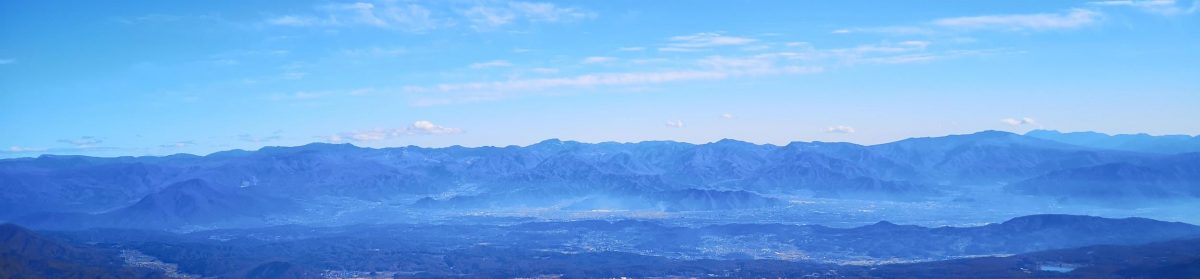
I found a sunny spot out of the wind to snack on a “manju“. I then made my way back to the main trail and followed the ridge northwards. I soon reached an area clear of trees with a view of Mt Jomine to the south. Next I arrived at another viewpoint to the west from where I could see Onishi town and Mt Sakura; but I wasn’t at the highest point yet, and a few more minutes brought me to the top of Mt Yokogai (横隈山 よこがいさん yokogai-san). Straight ahead, I could see Mt Akagi, Mt Haruna, and even the snow-capped peak of Mt Asama.

First viewpoint just south of the summit

Lake Kanna between Saitama and Gunma
I enjoyed a quiet lunch before heading back the same way. It was only 2h30 and I was ahead of schedule. At the junction for Gongen Rock, I continued straight on an up and down path taking me past a view point of Kanna lake and ending at a paved road. From there, it was easy walk down to the bus stop at the bottom of the valley. I had an hour before the 4h30 bus so I went and bought some more “manju“. At Minano station, I caught the Chichibu line for Kumagaya and then transferred to the Shonan-Shinjuku line for the one hour trip back to Tokyo.
See the sights and hear the sounds of Mt Yokogai


One thought on “Mt Yokogai (593m), Honjo City, Saitama Prefecture, April 2021”