Spolaita
Spolaita is a village in Agrinio, West Central Greece, West Greece and has about 809 residents. Spolaita is situated close to the neighborhoods Σπανόραχη and Παλιάμπελα.- Type: Village with 809 residents
- Description: village in West Greece
- Postal code: 30100
Notable Places in the Area
Stratos dam
Dam
The Stratos Hydroelectric Dam is a dam on the river Acheloos in Aetolia-Acarnania, western Greece. Stratos dam is situated 2½ km southwest of Spolaita.
Localities in the Area
Stratos
Village
Stratos is a settlement in central Aetolia-Acarnania, Western Greece. Stratos is situated 4½ km southwest of Spolaita.
Triantaiika
Village
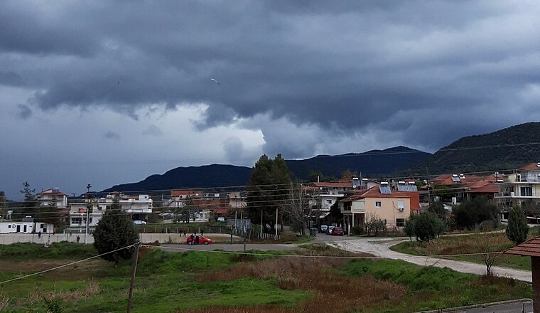
Photo: GeoAgrin, CC BY-SA 4.0.
Triantaiika is a village situated 6 km southeast of Spolaita.
Octhia
Village
Ochthia is an Aromanian village and a community of the Agrinio municipality. Octhia is situated 7 km southwest of Spolaita.
Spolaita
- Categories: human settlement and locality
- Location: Agrinio, West Central Greece, West Greece, Central Greece, Greece, Balkans, Europe
- View on OpenStreetMap
Latitude
38.69711° or 38° 41' 50" northLongitude
21.34691° or 21° 20' 49" eastPopulation
809Elevation
182 metres (597 feet)Open Location Code
8GC3M8WW+RQOpenStreetMap ID
node 613669114OpenStreetMap Feature
place=villageGeoNames ID
253315Wikidata ID
Q21570313Spolaita Satellite Map
© OpenStreetMap, Mapbox and Maxar
Also Known As
Localities in the Area
- ΣπανόραχηNeighborhood
- ΠαλιάμπελαNeighborhood
- MatsoukiVillage
- ΜητσαίικαLocality
- AloniaHamlet
Landmarks in the Area
- Κοίμηση της ΘεοτόκουChurch
- ΠλατείαRecreation area
- Άγιος ΑθανάσιοςChurch
- Νεκροταφείο ΣπολάιταςCemetery
- Αγία ΠαρασκευήChurch
Escape to a Random Place
Discover other destinations in the world.
About Mapcarta. Thanks to Mapbox for providing amazing maps. Data © OpenStreetMap contributors and available under the Open Database License. Text is available under the CC BY-SA 4.0 license, excluding photos, directions and the map. Photo: Wikimedia, CC0.