Ārangaon
Ārangaon is a village in Nagar, Maharashtra and has about 29,600 residents. Ārangaon is situated nearby to the villages Khandala and Sonewadi.Notable Places in the Area
Vehicle Research and Development Establishment
Vehicle Research and Development Establishment is a laboratory of the Defence Research & Development Organization located at Vahannagar near Ahmednagar.Localities in the Area
Kedgaon
Town
 Kedgaon is part of Ahmednagar Municipal Corporation divided by the Nagar-Pune highway in Ahmednagar district in Maharashtra state of India. Kedgaon is situated 4½ km north of Ārangaon.
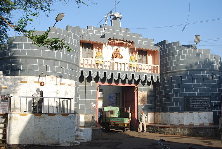
Ahmednagar

Photo: Amey.n.prabhune, CC BY-SA 3.0.
Ahmednagar is in Maharashtra state of India. Ahmednagar has more than 500 years history traced back to 1490 CE.
Ārangaon
- Type: Village with 29,600 residents
- Category: locality
- Location: Nagar, Ahmednagar, Maharashtra, Western India, India, South Asia, Asia
- View on OpenStreetMap
Latitude
19.02454° or 19° 1' 28" northLongitude
74.71755° or 74° 43' 3" eastPopulation
29,600Elevation
664 metres (2,178 feet)Open Location Code
7JFP2PF9+R2OpenStreetMap ID
node 2828262054OpenStreetMap Feature
place=villageGeoNames ID
1278455Ārangaon Satellite Map
© OpenStreetMap, Mapbox and Maxar
Also Known As
- Arangaon
- Jamkhed
Other Places Named Ārangaon
Localities in the Area
- KhandalaVillage, 3½ km southwest
- SonewadiVillage, 4 km west
- Baburdi GhumatVillage, 4 km southeast
- WalunjVillage, 7 km east
- ChasVillage, 7 km west
Landmarks in the Area
- AmpitheatreTheater building
- Avatar Meher Baba Samadhi, MeherabadPlace of worship
- Meherabad HospitalHospital
- Isolation WardHospital
- VRDE ParkPark
Escape to a Random Place
Discover other destinations in the world.
About Mapcarta. Thanks to Mapbox for providing amazing maps. Data © OpenStreetMap contributors and available under the Open Database License. Text is available under the CC BY-SA 4.0 license, excluding photos, directions and the map. Photo: Mangeshjadhav, CC BY-SA 3.0.