Eaton
Eaton is a village and civil parish in Leicestershire, England, situated in the Vale of Belvoir. The population at the 2011 census was 648. The civil parish includes nearby Eastwell to the west of the village.Notable Places in the Area
St Guthlac's Church, Branston
Church

Photo: Tim Heaton, CC BY-SA 2.0.
St Guthlac's Church is a church in Branston, Leicestershire. It is a Grade II* listed building.
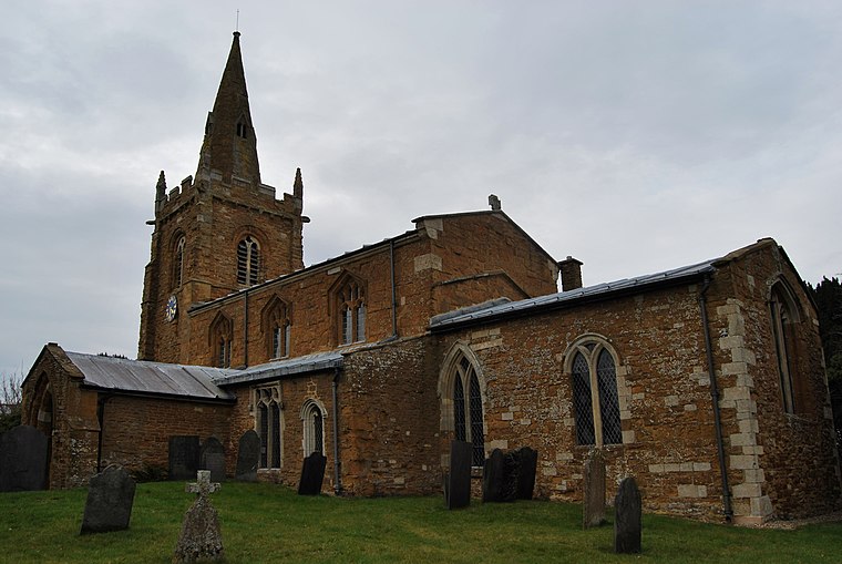
Church of St Guthlac, Stathern
Church

Photo: Davearrgh, Public domain.
Church of St Guthlac, Stathern is situated 2 miles northwest of Eaton.
Localities in the Area
Branston
Village

Photo: Rpriv2000, CC BY-SA 3.0.
Branston is a village and former civil parish, now in the parish of Croxton Kerrial in the Melton district, in the county of Leicestershire, England.
Goadby Marwood
Village
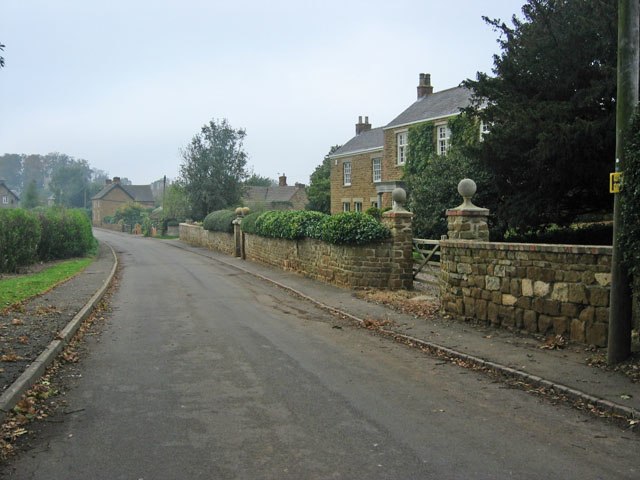
Photo: Kate Jewell, CC BY-SA 2.0.
Goadby Marwood is a village and former civil parish, now in the parish of Eaton, in the Melton district, in the north of the English county of Leicestershire. Goadby Marwood is situated 2 miles southwest of Eaton.
Eaton
- Type: Village with 648 residents
- Description: village and civil parish in Leicestershire, UK
- Categories: civil parish and locality
- Location: Eaton, Melton District, Leicestershire, East Midlands, England, United Kingdom, Britain and Ireland, Europe
- View on OpenStreetMap
Latitude
52.85337° or 52° 51' 12" northLongitude
-0.81814° or 0° 49' 5" westPopulation
648Elevation
400 feet (122 metres)Open Location Code
9C4XV53J+8POpenStreetMap ID
node 29345005OpenStreetMap Feature
place=villageGeoNames ID
2650299Wikidata ID
Q5331324Eaton Satellite Map
© OpenStreetMap, Mapbox and Maxar
Also Known As
- Cebuano: Eaton (parokya sa Hiniusang Gingharian, Inglatera, Leicestershire)
- Cebuano: Eaton
- Dutch: Eaton, Leicestershire
- English: Eaton, Leicestershire
- French: Eaton
- Irish: Eaton
- Ladin: Eaton
- Polish: Eaton (Leicestershire)
- Polish: Eaton
- Swedish: Eaton (parish i Storbritannien, England, Leicestershire)
- Swedish: Eaton, Leicestershire
- Turkish: Eaton, Leicestershire
- Welsh: Eaton, Swydd Gaerlŷr
- Welsh: Eaton
Other Places Named Eaton
Localities in the Area
- StathernVillage, 2 miles northwest
- KniptonVillage, 2 miles northeast
- BescabyHamlet, 2 miles southeast
- Croxton KerrialVillage, 2½ miles east
- Waltham on the WoldsVillage, 2½ miles south
Landmarks in the Area
- Green LodgeBuilding
- Lings CovertForest
- Eastwell Village HallCommunity center
- The MossForest
- Combs PlantationForest
Popular Destinations in Leicestershire
Discover Leicester, Loughborough, Melton Mowbray and Hinckley.
Escape to a Random Place
Discover other destinations in the world.
About Mapcarta. Thanks to Mapbox for providing amazing maps. Data © OpenStreetMap contributors and available under the Open Database License. Text is available under the CC BY-SA 4.0 license, excluding photos, directions and the map. Description text is based on the Wikipdia page Eaton. Photo: Wikimedia, CC0.