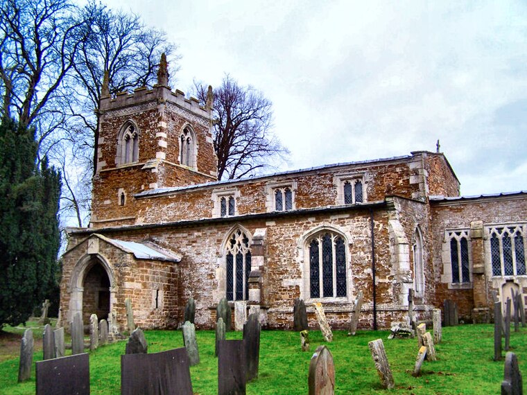
Chadwell
Chadwell is a small village in the district of Melton, which is approximately 4 miles northeast of Melton Mowbray in Leicestershire, and is part of the civil parish of Scalford, which also includes the neighbouring hamlet of Wycomb.Photo: Kev747, CC BY-SA 3.0.
Notable Places in the Area

Goadby Hall
Building

Photo: Kate Jewell, CC BY-SA 2.0.
Goadby Hall is a privately owned 17th-century country house located in Towns Lane, Goadby Marwood, Leicestershire.
Localities in the Area
Wycomb
Hamlet
Wycomb is a small hamlet in the district of Melton, which is approximately 4 miles northeast of Melton Mowbray in Leicestershire, and is part of the civil parish of Scalford, which also includes the neighbouring village of Chadwell.
Goadby Marwood
Village
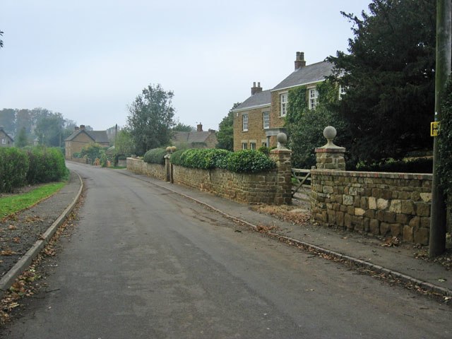
Photo: Kate Jewell, CC BY-SA 2.0.
Goadby Marwood is a village and former civil parish, now in the parish of Eaton, in the Melton district, in the north of the English county of Leicestershire.
Waltham on the Wolds
Village

Photo: Kev747, CC BY-SA 3.0.
Waltham on the Wolds is a village and former civil parish, now in the parish of Waltham on the Wolds and Thorpe Arnold, in the Melton borough of Leicestershire, England.
Chadwell
- Type: Hamlet
- Description: village in Leicestershire, United Kingdom
- Categories: village and locality
- Location: Waltham on the Wolds and Thorpe Arnold, Melton District, Leicestershire, East Midlands, England, United Kingdom, Britain and Ireland, Europe
- View on OpenStreetMap
Latitude
52.81263° or 52° 48' 46" northLongitude
-0.8401° or 0° 50' 24" westElevation
446 feet (136 metres)United Nations Location Code
GB CDZOpen Location Code
9C4XR575+3XOpenStreetMap ID
node 4607022044OpenStreetMap Feature
place=hamletGeoNames ID
2653409Wikidata ID
Q5066509Chadwell Satellite Map
© OpenStreetMap, Mapbox and Maxar
Also Known As
- Dutch: Chadwell, Leicestershire
- English: Caldwell
- English: Chadwell, Leicestershire
- Irish: Chadwell
- Japanese: コールドウェル
- Japanese: チャドウェル
- Polish: Chadwell (Leicestershire)
- Polish: Chadwell
- Swedish: Chadwell
- Welsh: Chadwell, Swydd Gaerlŷr
Other Places Named Chadwell
Localities in the Area
- ScalfordVillage
- StonesbyVillage, 2½ miles east
- BescabyHamlet, 2½ miles northeast
- EastwellVillage, 2½ miles north
- Thorpe ArnoldVillage, 3 miles south
Landmarks in the Area
- Goadby GorseForest
- Goadby Marwood Village HallCommunity center
- Waltham on the Wolds Church of England Primary SchoolSchool
- Waltham on the Wolds Village HallCommunity center
- Scalford SpoutSpring
Popular Destinations in Leicestershire
Discover Leicester, Loughborough, Melton Mowbray and Hinckley.
Escape to a Random Place
Discover other destinations in the world.
About Mapcarta. Thanks to Mapbox for providing amazing maps. Data © OpenStreetMap contributors and available under the Open Database License. Text is available under the CC BY-SA 4.0 license, excluding photos, directions and the map. Description text is based on the Wikipdia page Chadwell. Photo: Kev747, CC BY-SA 3.0.