Burtree Ford
Burtree Ford is a locality in Stanhope, County Durham, England. Burtree Ford is situated nearby to the village Wearhead and the hamlet West Blackdene.Notable Places in the Area


Localities in the Area
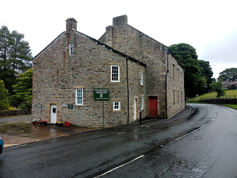
Wearhead
Village
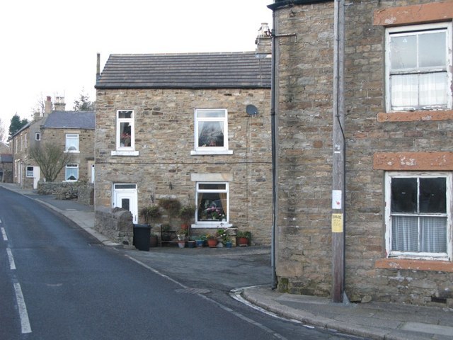
Photo: Mike Quinn, CC BY-SA 2.0.
Wearhead is a village in the civil parish of Stanhope, in County Durham, England.
West Blackdene
Hamlet
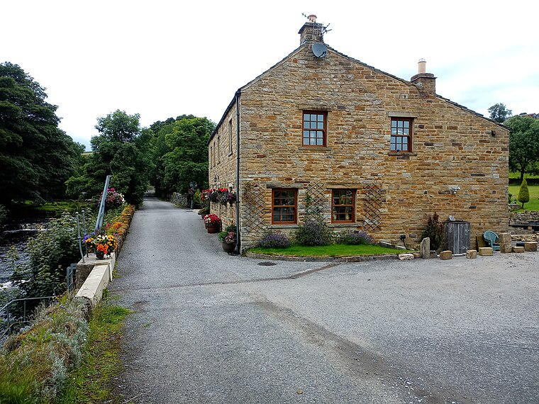
Photo: Victuallers, CC BY-SA 4.0.
West Blackdene is a village in the civil parish of Stanhope, in County Durham, England.
Ireshopeburn
Village

Photo: Andrew Smith, CC BY-SA 2.0.
Ireshopeburn is a village in the civil parish of Stanhope, in County Durham, England.
Burtree Ford
- Type: Locality
- Location: Stanhope, County Durham, North East England, England, United Kingdom, Britain and Ireland, Europe
- View on OpenStreetMap
Latitude
54.75° or 54° 45' northLongitude
-2.21667° or 2° 13' westElevation
1,115 feet (340 metres)Open Location Code
9C6VQQ2M+28GeoNames ID
2654198Burtree Ford Satellite Map
© OpenStreetMap, Mapbox and Maxar
Localities in the Area
- St John's ChapelVillage, 1½ miles southeast
- LaneheadHamlet, 1½ miles northwest
- WestgateHamlet, 3 miles east
- AllenheadsVillage, 3½ miles north
- Dirt PotHamlet, 4 miles north
Landmarks in the Area
- Weardale House MoundCastle
- Burtree FellHill, 2½ miles north
- Westgate CastleCastle, 3 miles east
- Stangend RiggHill, 3 miles northwest
- Chapelfell TopPeak, 3 miles south
Popular Destinations in County Durham
Discover Durham, Darlington, Hartlepool and Stockton-on-Tees.
Escape to a Random Place
Discover other destinations in the world.
About Mapcarta. Thanks to Mapbox for providing amazing maps. Text is available under the CC BY-SA 4.0 license, excluding photos, directions and the map. Photo: Andrew Curtis, CC BY-SA 2.0.