Vauderens
Vauderens is a village in Ursy, Glâne District, Canton of Fribourg. Vauderens is situated nearby to the hamlet Blessens and the village Esmonts.Notable Places in the Area
Vauderens railway station
Railway station
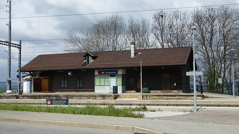 Vauderens railway station is a railway station in the municipality of Ursy, in the Swiss canton of Fribourg.
Rue Castle
Castle
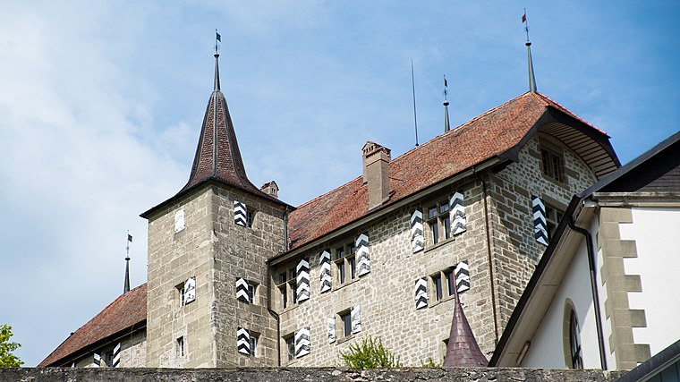
Photo: Ludo29, CC BY-SA 3.0.
Rue Castle is a castle in the municipality of Rue of the Canton of Fribourg in Switzerland.

Localities in the Area
Rue
Village

Photo: Wikimedia, CC BY-SA 4.0.
Rue is a municipality in the district of Glâne in the canton of Fribourg in Switzerland.
Promasens
Village
Photo: Christophe95, CC BY-SA 3.0.
Promasens is a village situated 3 km southwest of Vauderens.
Vuarmarens
Village
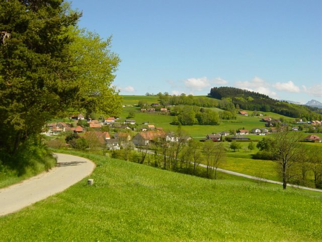
Photo: Meinmein, CC BY-SA 2.0 ca.
Vuarmarens is a former municipality in the district of Glâne in the canton of Fribourg in Switzerland. Vuarmarens is situated 3 km northwest of Vauderens.
Vauderens
- Type: Village
- Categories: former municipality of Switzerland, Ortschaft and locality
- Location: Ursy, Glâne District, Canton of Fribourg, Switzerland, Central Europe, Europe
- View on OpenStreetMap
Latitude
46.62087° or 46° 37' 15" northLongitude
6.85072° or 6° 51' 3" eastElevation
754 metres (2,474 feet)Open Location Code
8FR8JVC2+87OpenStreetMap ID
node 206940878OpenStreetMap Feature
place=villageGeoNames ID
2658181Wikidata ID
Q1784573Vauderens Satellite Map
© OpenStreetMap, Mapbox and Maxar
Also Known As
Other Places Named Vauderens
Localities in the Area
- BlessensHamlet
- EsmontsVillage
- PorselVillage, 2½ km southeast
- Prez-vers-SiviriezVillage, 2½ km northeast
- BoulozVillage, 2½ km southeast
Landmarks in the Area
- Chapelle Saint-JeanChapel
- 1670 UrsyPost office
- Porsel StadiumPitch
- Gendarmerie FribourgeoisePolice station
- Chapelle Saint-JosephPlace of worship, 2½ km south
Escape to a Random Place
Discover other destinations in the world.
About Mapcarta. Thanks to Mapbox for providing amazing maps. Data © OpenStreetMap contributors and available under the Open Database License. Text is available under the CC BY-SA 4.0 license, excluding photos, directions and the map. Photo: Michael D. Schmid, CC BY-SA 4.0.