Ranft
Ranft is a locality in Sachseln, Obwalden. Ranft is situated nearby to the hamlet Sankt Niklausen and the neighborhood Büntli.Notable Places in the Area


Localities in the Area
Sachseln
Village

Photo: Wikimedia, CC BY-SA 3.0.
Sachseln is a village and municipality in the canton of Obwalden in Switzerland. Sachseln is situated 2½ km west of Ranft.
Kerns
Village

Photo: Roland Zumbuehl, CC BY 3.0.
Kerns is a village in the canton of Obwalden in Switzerland. Kerns is situated 3½ km north of Ranft.

Ranft
- Type: Locality
- Location: Sachseln, Obwalden, Canton of Obwalden, Switzerland, Central Europe, Europe
- View on OpenStreetMap
Latitude
46.86926° or 46° 52' 9" northLongitude
8.27185° or 8° 16' 19" eastElevation
677 metres (2,221 feet)Open Location Code
8FRCV79C+PPOpenStreetMap ID
node 9867378883OpenStreetMap Feature
place=localityGeoNames ID
2659102Ranft Satellite Map
© OpenStreetMap, Mapbox and Maxar
Other Places Named Ranft
Localities in the Area
- Flüeli-RanftHamlet
- Sankt NiklausenHamlet
- BüntliNeighborhood
- Hostett FeldNeighborhood
- EnerwilLocality
Landmarks in the Area
- House of Nicholas of FlueHouse
- Birth house of Nicholas of FlueHouse
- St. Karl Borromäus ChapelChurch
- Hotel PaxmontanaHotel
- St. Nikolaus ChapelChurch
Escape to a Random Place
Discover other destinations in the world.
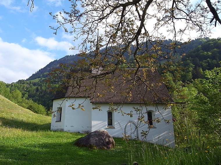
About Mapcarta. Thanks to Mapbox for providing amazing maps. Data © OpenStreetMap contributors and available under the Open Database License. Text is available under the CC BY-SA 4.0 license, excluding photos, directions and the map. Photo: Simonizer, CC BY-SA 2.0 de.