Muldain
Muldain is a village in Vaz/Obervaz, Albula Region, Graubünden and has an elevation of 1,224 metres. Muldain is situated close to the village Lain and the locality Curtschin.Notable Places in the Area
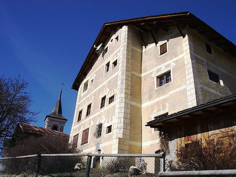
Baselgia catolic Son Gion Battista, Muldain
Church

Photo: Paebi, CC BY-SA 3.0.
Baselgia catolic Son Gion Battista, Muldain is a church.
Burg Nivagl
Archaeological site

Photo: Parpan05, CC BY-SA 3.0.
Burg Nivagl is an archaeological site.
Localities in the Area

Mutten
Village
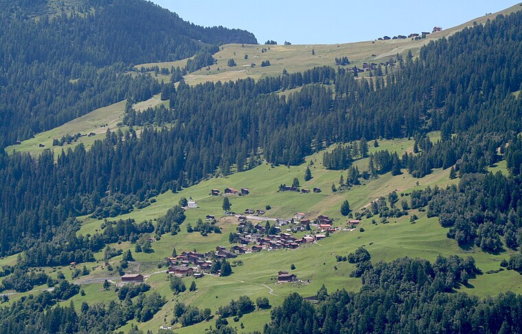
Photo: Parpan05, CC BY-SA 3.0.
Mutten is a former municipality in the Viamala Region in the canton of Graubünden in Switzerland. Mutten is situated 2½ km southwest of Muldain.
Alvaschein
Village

Photo: Parpan05, CC BY-SA 3.0.
Alvaschein is a former municipality in the district of Albula in the canton of Graubünden in Switzerland. Alvaschein is situated 3 km southeast of Muldain.
Muldain
- Type: Village
- Category: locality
- Location: Vaz/Obervaz, Albula Region, Graubünden, Switzerland, Central Europe, Europe
- View on OpenStreetMap
Latitude
46.69327° or 46° 41' 36" northLongitude
9.52582° or 9° 31' 33" eastElevation
1,224 metres (4,016 feet)Open Location Code
8FRFMGVG+88OpenStreetMap ID
node 2065342628OpenStreetMap Feature
place=villageGeoNames ID
2659556Muldain Satellite Map
© OpenStreetMap, Mapbox and Maxar
Also Known As
- Romansh: Muldain
Other Places Named Muldain
Localities in the Area
- CurtschinLocality
- ZortenVillage
- GotLocality
- CalabriaLocality
- Plam-SporzLocality
Landmarks in the Area
- Post LainPost office
- Baselgia catolica Son Leza, LainChurch
- Gesteinsabbau FrastealsQuarry
- Plam Pedra PurtgeraSaddle
- Crap la TretschaScenic viewpoint
Popular Destinations in Graubünden
Discover Davos, Chur, St. Moritz and Arosa.
Escape to a Random Place
Discover other destinations in the world.
About Mapcarta. Thanks to Mapbox for providing amazing maps. Data © OpenStreetMap contributors and available under the Open Database License. Text is available under the CC BY-SA 4.0 license, excluding photos, directions and the map. Photo: Martingarten, CC BY-SA 3.0.