Fideriser Alp Duranna
Fideriser Alp Duranna is a locality in Conters im Prättigau, Region Prättigau / Davos, Graubünden and has an elevation of 1,972 metres. Fideriser Alp Duranna is situated close to the village Conters im Prättigau and the locality Klosters Serneus.Notable Places in the Area

Casanna
Peak
 The Casanna is a mountain of the Plessur Alps, overlooking Serneus and Klosters in the canton of Graubünden. Casanna is situated 2½ km east of Fideriser Alp Duranna.
Chistenstein
Peak
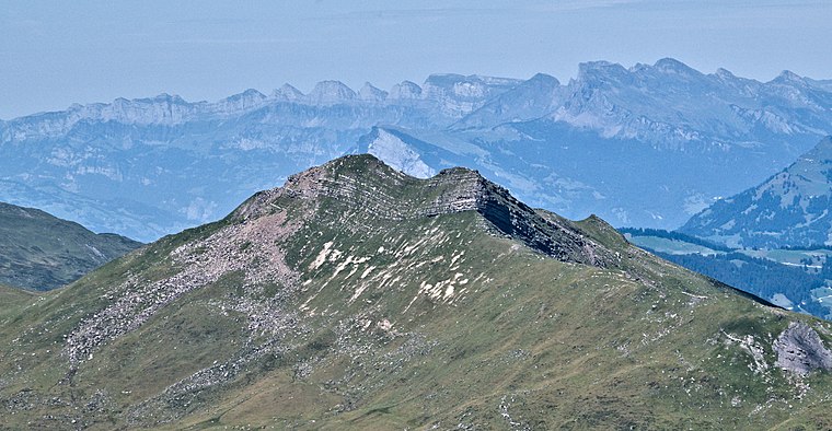
Photo: Kulmalukko, CC BY-SA 3.0.
The Chistenstein is a mountain of the Plessur Alps, overlooking Küblis in the Swiss canton of Graubünden.
Localities in the Area
Serneus
Village
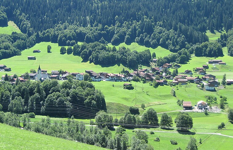
Photo: Parpan05, CC BY-SA 3.0.
Serneus is a village situated 4 km northeast of Fideriser Alp Duranna.
Strassberg im Fondei
Hamlet
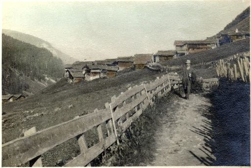
Photo: Wikimedia, Public domain.
Strassberg im Fondei is a hamlet situated 4½ km southwest of Fideriser Alp Duranna.
Saas im Prättigau
Village
 Saas im Prättigau is a Swiss village in the Prättigau and a former municipality in the district of Prättigau/Davos in the canton of Graubünden. Saas im Prättigau is situated 5 km north of Fideriser Alp Duranna.
Fideriser Alp Duranna
- Type: Locality
- Location: Conters im Prättigau, Region Prättigau / Davos, Graubünden, Switzerland, Central Europe, Europe
- View on OpenStreetMap
Latitude
46.8665° or 46° 51' 59" northLongitude
9.79711° or 9° 47' 50" eastElevation
1,972 metres (6,470 feet)Open Location Code
8FRFVQ8W+JRGeoNames ID
2660782Fideriser Alp Duranna Satellite Map
© OpenStreetMap, Mapbox and Maxar
Also Known As
- Duranna
- Fideriseralp
Localities in the Area
- Conters im PrättigauVillage, 4 km north
- Klosters SerneusLocality, 4 km northeast
- LaretLocality, 4½ km southeast
- UnterraschitschLocality, 4½ km northwest
- SaasLocality, 5 km north
Landmarks in the Area
- SeebüelenPeak
- GaudergratPeak
- GrüenseeLake
- SeehornPeak
- CasannapassPass
Popular Destinations in Graubünden
Discover Davos, Chur, St. Moritz and Arosa.
Escape to a Random Place
Discover other destinations in the world.
About Mapcarta. Thanks to Mapbox for providing amazing maps. Text is available under the CC BY-SA 4.0 license, excluding photos, directions and the map. Photo: Martingarten, CC BY-SA 3.0.