Boden
Boden is a locality in Seedorf (UR), Uri and has an elevation of 1,458 metres. Boden is situated close to the localities Bödeli and Obermatt.Notable Places in the Area
Attinghausen Castle
Castle

Photo: Roland Zumbuehl, CC BY-SA 3.0.
Attinghausen Castle is a ruined medieval castle in the municipality of Attinghausen in the canton of Uri in Switzerland.
Katholische Kirche St. Andreas, Friedhofkapelle, Pfarrhaus und Beinhaus St. Ottilien
Church
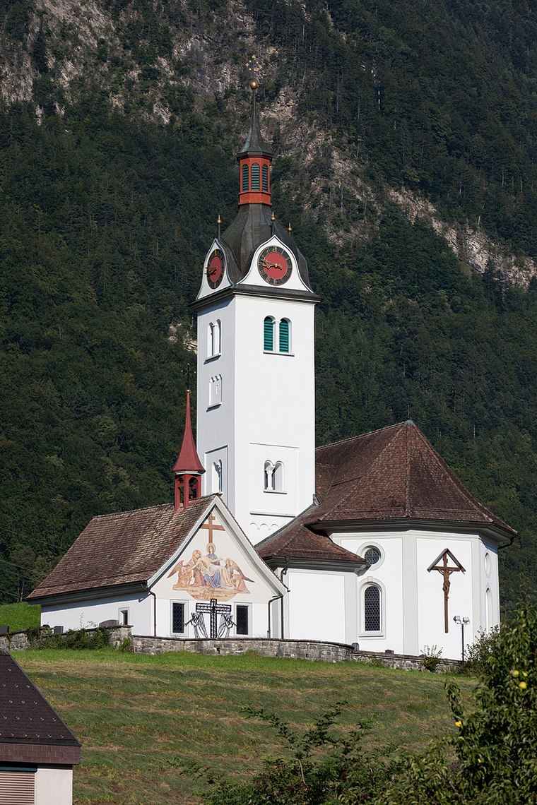
Photo: Roland Zumbuehl, CC BY 3.0.
Katholische Kirche St. Andreas, Friedhofkapelle, Pfarrhaus und Beinhaus St. Ottilien is a church.
Altdorf railway station
Railway station

Photo: TheMexxx, CC BY-SA 4.0.
Altdorf railway station is a railway station in the Swiss canton of Uri and municipality of Altdorf. Altdorf railway station is situated 2½ km north of Boden.
Localities in the Area
Attinghausen
Village

Photo: Testexperte, CC BY-SA 3.0 de.
Attinghausen is a village and a municipality in the canton of Uri in Switzerland.
Schattdorf
Village

Photo: Wikimedia, Public domain.
Schattdorf is a village and a municipality in the canton of Uri in Switzerland.
Seedorf
Village

Photo: F64.ch, CC BY-SA 3.0.
Seedorf is a municipality in the canton of Uri in Switzerland. Seedorf is situated 3½ km north of Boden.
Boden
- Type: Locality
- Location: Seedorf (UR), Uri, Canton of Uri, Switzerland, Central Europe, Europe
- View on OpenStreetMap
Latitude
46.85234° or 46° 51' 8" northLongitude
8.62495° or 8° 37' 30" eastElevation
1,458 metres (4,783 feet)Open Location Code
8FRCVJ2F+WXOpenStreetMap ID
node 4042859123OpenStreetMap Feature
place=localityGeoNames ID
2661464Boden Satellite Map
© OpenStreetMap, Mapbox and Maxar
Other Places Named Boden
Localities in the Area
- BödeliLocality
- ObermattLocality
- Oberer TschingelLocality
- GrossacherLocality
- Unterer TschingelLocality
Landmarks in the Area
- Stellplatz Autobahnraststätte Gotthard, SchattdorfMotorhome stopover
- Place of ContemplationPlace of worship
- Rudenz ParkPark
- Simon Briker TrainingHealth club
- TrotzliPlayground
Escape to a Random Place
Discover other destinations in the world.
About Mapcarta. Thanks to Mapbox for providing amazing maps. Data © OpenStreetMap contributors and available under the Open Database License. Text is available under the CC BY-SA 4.0 license, excluding photos, directions and the map. Photo: Simonizer, CC BY-SA 2.0 de.