Bois de Priesse
Bois de Priesse is a forest in Namur, Wallonia. Bois de Priesse is situated nearby to the hamlet Ferage and the locality Fond des Veaux.Notable Places in the Area

Houyet railway station
Railway station
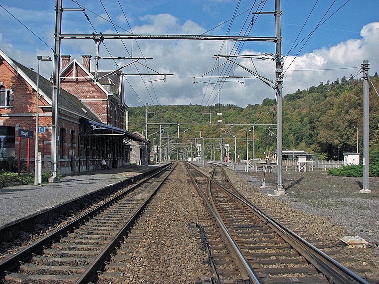
Photo: Stormbeest, CC0.
Houyet railway station is situated 2½ km east of Bois de Priesse.
Château d'Ardenne railway station
Building
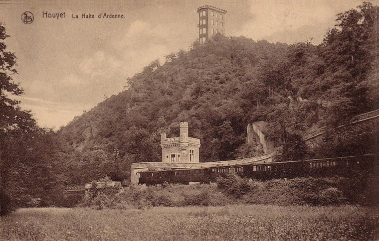
Photo: Dasjtereir, CC BY-SA 4.0.
Château d'Ardenne railway station is a building situated 2½ km northeast of Bois de Priesse.
Localities in the Area

Bois de Priesse
Latitude
50.18917° or 50° 11' 21" northLongitude
4.96804° or 4° 58' 5" eastElevation
236 metres (774 feet)Open Location Code
9F265XQ9+M6GeoNames ID
2788601Bois de Priesse Satellite Map
© OpenStreetMap, Mapbox and Maxar
Localities in the Area
- Fond des VeauxLocality
- CherauLocality
- HerhetHamlet
- HouyetLocality, 3 km east
- Mesnil-ÉgliseVillage, 3 km south
Landmarks in the Area
- Bois del PriesseForest
- Bois d'HatinneForest, 3 km south
- Ruines de CaverenneRuin, 3½ km northwest
- Château royal d'ArdenneCastle, 3½ km east
- Château MirandaCountry house, 4 km northeast
Escape to a Random Place
Discover other forests in the world.
About Mapcarta. Thanks to Mapbox for providing amazing maps. Text is available under the CC BY-SA 4.0 license, excluding photos, directions and the map. Photo: Zairon, CC BY-SA 4.0.