Munsterbeek
Munsterbeek is a stream in Limburg, Flemish Region. Munsterbeek is situated close to the locality Spurk and the hamlet Eik.Notable Places in the Area
Localities in the Area
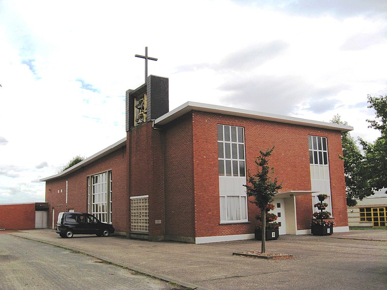
Onze-Lieve-Vrouw
Hamlet
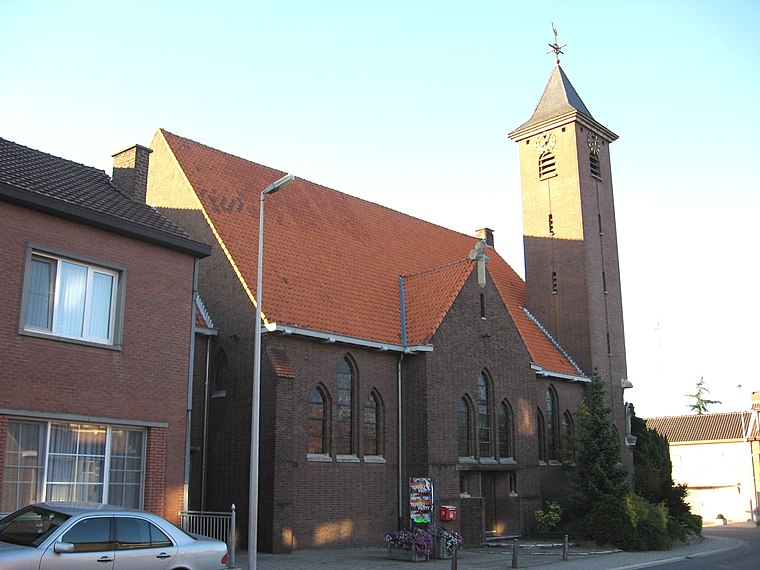
Photo: Sonuwe, CC BY-SA 3.0.
Onze-Lieve-Vrouw is a hamlet situated 2½ km southwest of Munsterbeek.
Munsterbeek
- Type: Stream
- Category: body of water
- Location: Limburg, Flemish Region, Flanders, Belgium, Benelux, Europe
- View on OpenStreetMap
Latitude
50.89171° or 50° 53' 30" northLongitude
5.49827° or 5° 29' 54" eastElevation
41 metres (135 feet)Open Location Code
9F27VFRX+M8GeoNames ID
2790534Munsterbeek Satellite Map
© OpenStreetMap, Mapbox and Maxar
Localities in the Area
Landmarks in the Area
Popular Destinations in Limburg
Discover Sint-Truiden, Hasselt, Tongeren and Genk.
Escape to a Random Place
Discover other streams in the world.
About Mapcarta. Thanks to Mapbox for providing amazing maps. Text is available under the CC BY-SA 4.0 license, excluding photos, directions and the map. Photo: Paul Hermans, CC BY-SA 3.0.