Mateo Pérez
Mateo Pérez is a village in Sampués, Sucre Department. Mateo Pérez is situated close to the localities Loarazo and La Peña.Localities in the Area
Sampués
Town
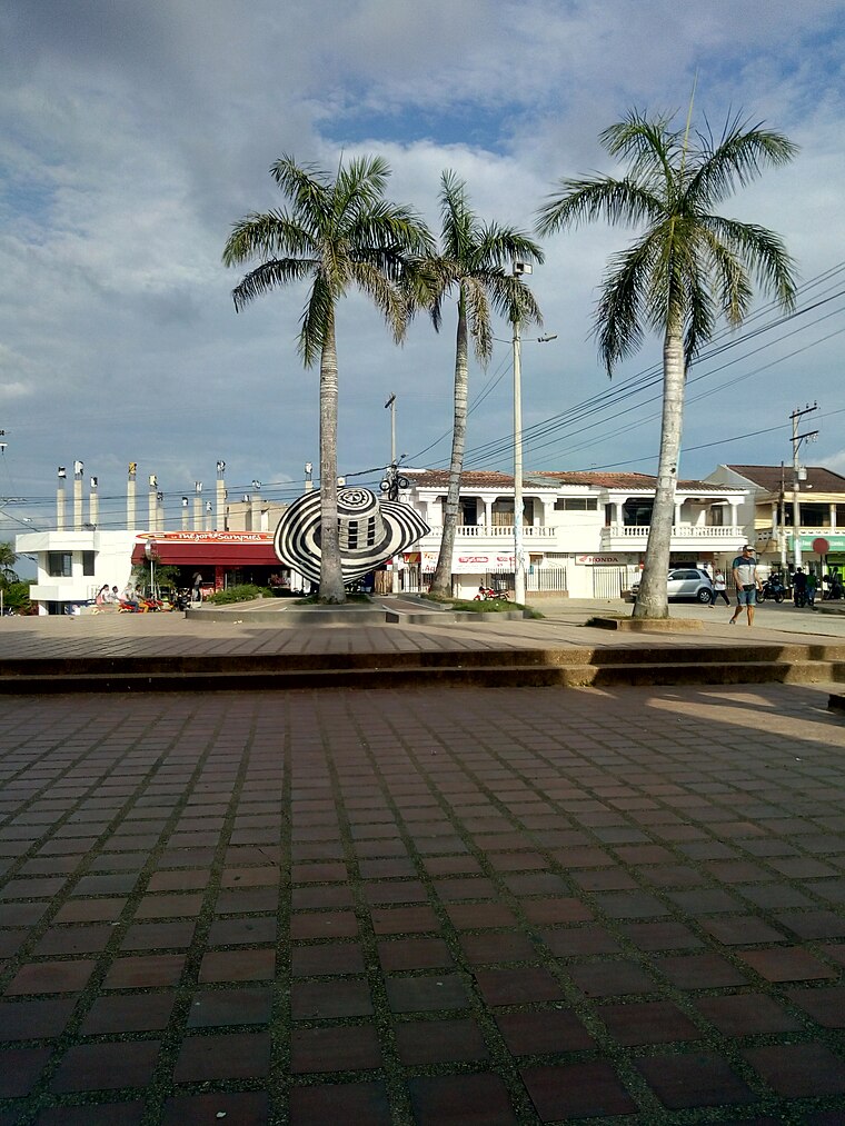
Photo: Sampués, CC BY-SA 4.0.
Sampués is a town and municipality located in the Sucre Department, northern Colombia. Sampués is situated 3½ km south of Mateo Pérez.
Mateo Pérez
- Type: Village
- Category: locality
- Location: Sampués, Sucre Department, Colombia, South America
- View on OpenStreetMap
Latitude
9.21423° or 9° 12' 51" northLongitude
-75.38497° or 75° 23' 6" westElevation
157 metres (515 feet)Open Location Code
67X66J78+M2OpenStreetMap ID
node 703507587OpenStreetMap Feature
place=villageGeoNames ID
3675059Mateo Pérez Satellite Map
© OpenStreetMap, Mapbox and Maxar
Also Known As
- Malco Pérez
- Mateo Perez
Other Places Named Mateo Pérez
Localities in the Area
- LoarazoLocality
- La PeñaLocality
- Mata de CañaVillage
- PajonalLocality, 2½ km south
- 12 de OctubreNeighborhood, 2½ km south
Landmarks in the Area
- Sombrero Vueltiao3 km south
- Sector Corralejas3 km south
- Parroquia San Juan EvangelistaChurch, 3½ km south
- AlcaldiaTown hall, 3½ km south
- Las lunasPark, 3½ km south
Escape to a Random Place
Discover other destinations in the world.
About Mapcarta. Thanks to Mapbox for providing amazing maps. Data © OpenStreetMap contributors and available under the Open Database License. Text is available under the CC BY-SA 4.0 license, excluding photos, directions and the map. Photo: Wikimedia, CC0.