Campo Caquetio
Campo Caquetio is a locality in Zamora Municipality, Falcón. Campo Caquetio is situated close to the localities Campo Creole and Monte Oscuro.Localities in the Area
Tocópero
Town
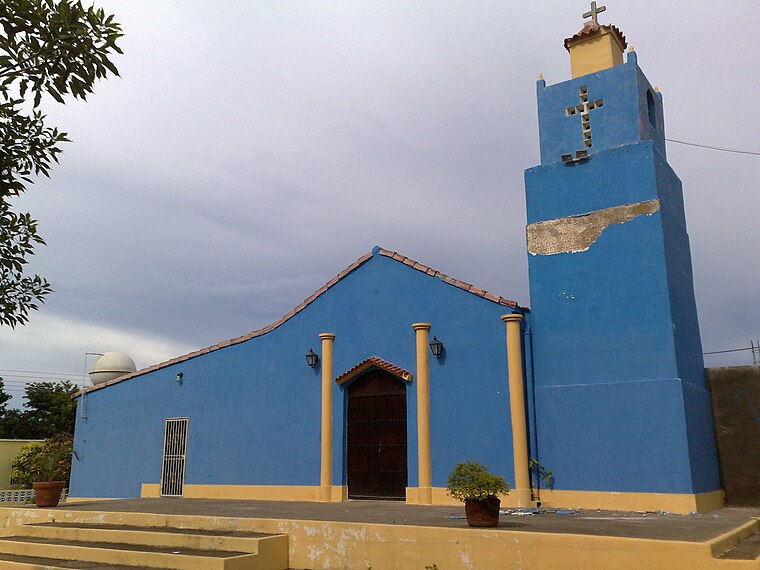
Photo: ArwinJ, CC BY-SA 4.0.
Tocópero is a town situated 7 km northeast of Campo Caquetio.
Campo Caquetio
- Type: Locality
- Location: Zamora Municipality, Falcón, Venezuela, South America
- View on OpenStreetMap
Latitude
11.4768° or 11° 28' 37" northLongitude
-69.31523° or 69° 18' 55" westElevation
61 metres (200 feet)Open Location Code
773GFMGM+PWGeoNames ID
3785730Campo Caquetio Satellite Map
© OpenStreetMap, Mapbox and Maxar
Localities in the Area
- Campo CreoleLocality
- Monte OscuroLocality
- La ProvidenciaLocality
- Santa RitaVillage
- Cerro Agua BlancaLocality
Landmarks in the Area
- Cerro Monte OscuroPeak
- Cerro El HatilloPeak, 3 km west
- Bahía TucupidoBay, 3 km northwest
- Cerro CocorotePeak, 4 km southwest
- Puerto CumareboPort, 4 km west
Popular Destinations in Venezuela
Discover Caracas, Mérida, Maracaibo and Anzoátegui.
Escape to a Random Place
Discover other destinations in the world.
About Mapcarta. Thanks to Mapbox for providing amazing maps. Text is available under the CC BY-SA 4.0 license, excluding photos, directions and the map. Photo: Wikimedia, CC0.