Campo Claro
Campo Claro is a neighborhood in Sucre Municipality, Miranda and has an elevation of 859 metres. Campo Claro is situated close to the neighborhood Parcelamiento Don Bosco and the suburb Los Ruices.Notable Places in the Area

Los Dos Caminos station
Metro station
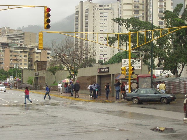
Photo: Kinori, Public domain.
Los Dos Caminos is a Caracas Metro station on Line 1.
Los Cortijos station
Metro station

Photo: Kinori, Public domain.
Los Cortijos is a Caracas Metro station on Line 1. It was opened on 10 November 1989 as part of the extension of Line 1 from Los Dos Caminos to Palo Verde.
Localities in the Area
Los Palos Grandes
Suburb
 Los Palos Grandes is a residential, tourist and financial district located in the Chacao Municipality in east Caracas, served by the Caracas Metro through the Miranda station of line 1.
Altamira
Suburb
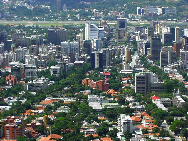
Photo: Kinori, Public domain.
Altamira is a neighborhood located in the Chacao municipality of Caracas, Venezuela. Altamira is situated 2½ km northwest of Campo Claro.

Campo Claro
- Type: Neighborhood
- Category: locality
- Location: Sucre Municipality, Miranda, Venezuela, South America
- View on OpenStreetMap
Latitude
10.49051° or 10° 29' 26" northLongitude
-66.83122° or 66° 49' 52" westElevation
859 metres (2,818 feet)Open Location Code
772MF5R9+6GOpenStreetMap ID
node 9126310980OpenStreetMap Feature
place=neighbourhoodGeoNames ID
3803472Campo Claro Satellite Map
© OpenStreetMap, Mapbox and Maxar
Other Places Named Campo Claro
Localities in the Area
- Parcelamiento Don BoscoNeighborhood
- Los RuicesSuburb
- Santa CeciliaQuarter
- Monte CristoQuarter
- Distribuidor Santa CeciliaLocality
Landmarks in the Area
- Centro GammaPublic building
- SENIATGovernment office
- MRWPost office
- Registro Civil Leoncio MartinezGovernment office
- Policía NacionalPolice station
Popular Destinations in Venezuela
Discover Caracas, Mérida, Maracaibo and Anzoátegui.
Escape to a Random Place
Discover other destinations in the world.
About Mapcarta. Thanks to Mapbox for providing amazing maps. Data © OpenStreetMap contributors and available under the Open Database License. Text is available under the CC BY-SA 4.0 license, excluding photos, directions and the map. Photo: Paolostefano1412, CC BY-SA 3.0.