Obanta
Obanta is a suburb in Lules Department, Tucumán. Obanta is situated close to the town El Manantial and the village Ingenio San Pablo.Localities in the Area
Yerba Buena
Town
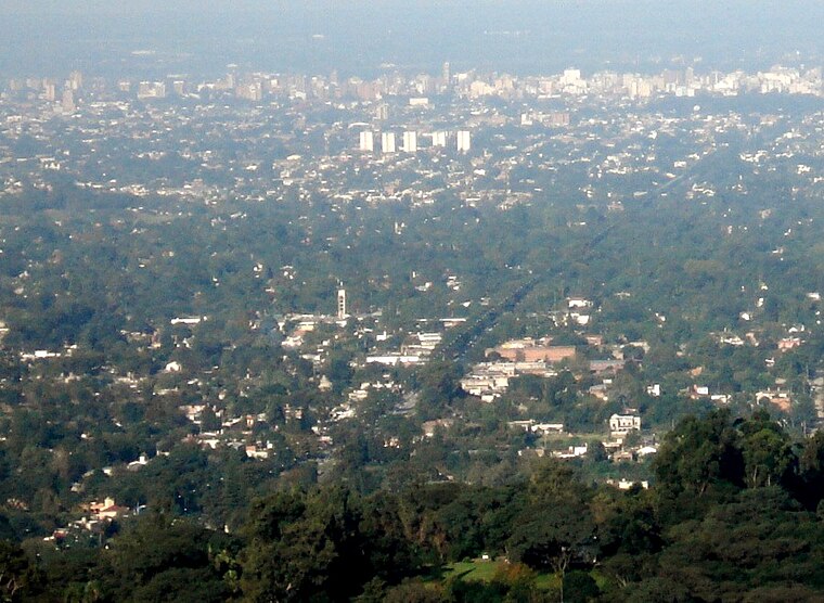
Photo: Jlazarte, Public domain.
Yerba Buena is the capital of the Yerba Buena Department in the province of Tucumán, Argentina. Yerba Buena is situated 5 km north of Obanta.
San Isidro de Lules
Town

Photo: Jlazarte, Public domain.
San Isidro de Lules, or, Lules, as the town is colloquially known, is a settlement in Tucumán Province in northern Argentina, and the seat of the department of the same name. San Isidro de Lules is situated 8 km southwest of Obanta.
Villa Nougués
Hamlet

Photo: Jlazarte, Public domain.
Villa Nougués is a settlement in Lules Department, Tucumán Province, in northern Argentina. Villa Nougués is situated 8 km west of Obanta.
Obanta
- Type: Suburb
- Category: locality
- Location: Lules Department, Tucumán, Andean Northwest, Argentina, South America
- View on OpenStreetMap
Latitude
-26.86006° or 26° 51' 36" southLongitude
-65.29567° or 65° 17' 44" westElevation
414 metres (1,358 feet)Open Location Code
575P4PQ3+XPOpenStreetMap ID
node 198407142OpenStreetMap Feature
place=suburbGeoNames ID
3842802Obanta Satellite Map
© OpenStreetMap, Mapbox and Maxar
Other Places Named Obanta
Localities in the Area
- El ManantialTown
- Ingenio San PabloVillage
- Soberanía NacionalNeighborhood
- San PabloNeighborhood
- La Cañadita - Barrio PrivadoNeighborhood, 2½ km north
Landmarks in the Area
- Plaza del Refugio.Park
- Plaza San JorgePark
- Comisaría El ManantialPolice station
- San Pablo ApostolChurch
- Parroquia Maria ReinaChurch
Popular Destinations in Tucumán
Discover San Miguel de Tucumán, Tafi Viejo and Amaicha del Valle.
Escape to a Random Place
Discover other destinations in the world.
About Mapcarta. Thanks to Mapbox for providing amazing maps. Data © OpenStreetMap contributors and available under the Open Database License. Text is available under the CC BY-SA 4.0 license, excluding photos, directions and the map. Photo: Wikimedia, CC0.