Surbwiesen
Surbwiesen is a locality in Niederweningen, Dielsdorf, Canton of Zurich and has about 43 residents. Surbwiesen is situated nearby to the localities Niederweningen / Urblig and Niederweningen / Bi de Chile.Notable Places in the Area
Niederweningen railway station
Railway station

Photo: DidiWeidmann, CC BY-SA 3.0.
Niederweningen railway station is a terminal railway station in the Swiss canton of Zürich and municipality of Niederweningen.
Mammutmuseum Niederweningen
Museum

Photo: Roland zh, CC BY-SA 3.0.
The Mammutmuseum Niederweningen is a paleontological and geological museum in the municipality of Niederweningen in the Wehntal valley, Canton of Zürich, Switzerland, and one of the few mammoth museums in Europe.
Niederweningen Dorf railway station
Railway stop

Photo: Pechristener, CC BY-SA 2.0.
Niederweningen Dorf railway station is a railway station in the Swiss canton of Zurich and municipality of Niederweningen.
Localities in the Area
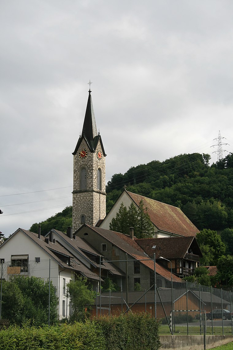
Niederweningen
Village

Photo: Roland zh, CC BY-SA 3.0.
Niederweningen is a municipality in the district of Dielsdorf in the canton of Zürich in Switzerland.
Schneisingen
Village
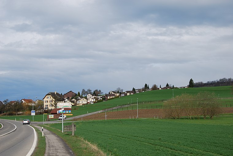
Photo: DidiWeidmann, CC BY-SA 3.0.
Schneisingen is a municipality in the district of Zurzach in the canton of Aargau in Switzerland.
Surbwiesen
- Type: Locality with 43 residents
- Location: Niederweningen, Dielsdorf, Canton of Zurich, Switzerland, Central Europe, Europe
- View on OpenStreetMap
Latitude
47.50884° or 47° 30' 32" northLongitude
8.36936° or 8° 22' 10" eastPopulation
43Elevation
449 metres (1,473 feet)Open Location Code
8FVCG959+GPGeoNames ID
6291601Surbwiesen Satellite Map
© OpenStreetMap, Mapbox and Maxar
Localities in the Area
- Niederweningen / UrbligLocality
- Niederweningen / Bi de ChileLocality
- HintereichenLocality
- Niederweningen / HüsliwegLocality
- Niederweningen / RebhaldeLocality
Landmarks in the Area
- NiederweningenRailway stop
- Niederweningen DorfRailway stop
- LägernsattelSaddle, 3½ km south
- Schöfflisdorf-OberweningenRailway stop, 3½ km east
- LägernPeak, 3½ km southeast
Escape to a Random Place
Discover other destinations in the world.
About Mapcarta. Thanks to Mapbox for providing amazing maps. Text is available under the CC BY-SA 4.0 license, excluding photos, directions and the map. Photo: Wikimedia, CC0.