Gfell
Gfell is a hamlet in Bauma, Pfäffikon District, Canton of Zurich and has about 47 residents and an elevation of 900 metres. Gfell is situated close to the hamlet Tiefmoos and the locality Eienwald.Notable Places in the Area
Hörnli
Scenic viewpoint

Photo: Albireo, CC BY-SA 3.0.
Hörnli mountain is located on the territory of the community of Fischenthal, in the Zürcher Oberland, in the eastern part of canton of Zürich, in Switzerland.
Localities in the Area
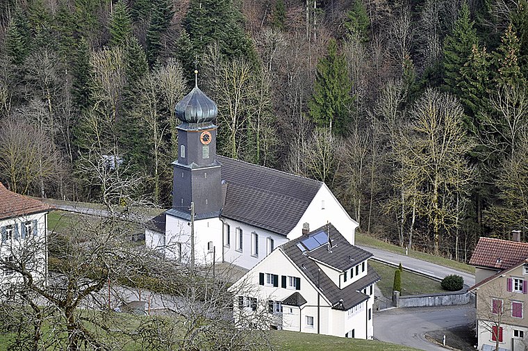
Sternenberg
Village

Photo: Wikimedia, CC BY-SA 3.0.
Sternenberg is a former municipality in the district of Pfäffikon in the canton of Zürich in Switzerland. Bauma and Sternenberg merged to Bauma on 1 January 2015.
Mühlrüti
Hamlet
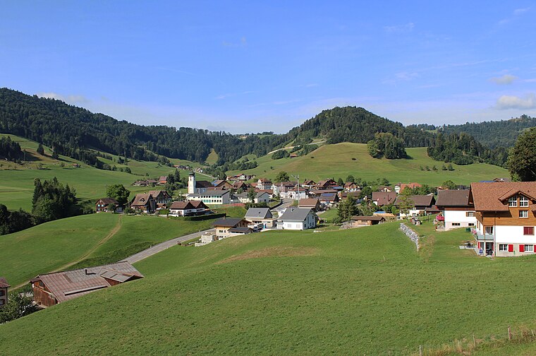
Photo: 1-Byte, CC BY-SA 4.0.
Mühlrüti is a small town in the Canton of St. Gallen in Switzerland. Mühlrüti is situated 4 km east of Gfell.
Bauma
Village
Photo: Roland zh, CC BY-SA 3.0.
Bauma is a municipality in the district of Pfäffikon in the canton of Zurich in Switzerland. Bauma is situated 4½ km west of Gfell.
Gfell
- Type: Hamlet with 47 residents
- Category: locality
- Location: Bauma, Pfäffikon District, Canton of Zurich, Switzerland, Central Europe, Europe
- View on OpenStreetMap
Latitude
47.38226° or 47° 22' 56" northLongitude
8.93333° or 8° 56' eastPopulation
47Elevation
900 metres (2,953 feet)Open Location Code
8FVC9WJM+W8OpenStreetMap ID
node 440889406OpenStreetMap Feature
place=hamletGeoNames ID
6294115Gfell Satellite Map
© OpenStreetMap, Mapbox and Maxar
Other Places Named Gfell
Localities in the Area
- TiefmoosHamlet
- EienwaldLocality
- HeiletseggHamlet
- TöbeliLocality
- LetzibodenLocality
Landmarks in the Area
- TöbelibachhöhleCave
- SpitzPeak
- Sternenberg PassSaddle
- ChlihörnliPeak
- SchulbibliothekLibrary
Escape to a Random Place
Discover other destinations in the world.
About Mapcarta. Thanks to Mapbox for providing amazing maps. Data © OpenStreetMap contributors and available under the Open Database License. Text is available under the CC BY-SA 4.0 license, excluding photos, directions and the map. Photo: Wikimedia, CC0.