Barrio El Pozo, SFE
Barrio El Pozo, SFE is a suburb in Capital Department, Santa Fe. Barrio El Pozo, SFE is situated nearby to the suburbs Vuelta del Paraguayo and Siete Jefes.Notable Places in the Area
Santa Fe railway station
Convention center
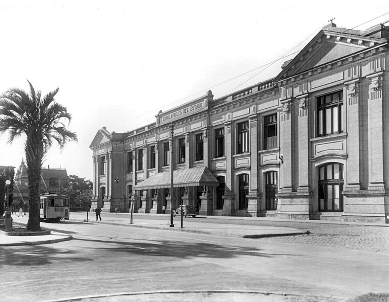
Photo: Wikimedia, Public domain.
Santa Fe is a former railway station located in the city of Santa Fe de la Vera Cruz in Santa Fe Province, Argentina. Santa Fe railway station is situated 2½ km west of Barrio El Pozo, SFE.
Basílica Nuestra Señora de Guadalupe
Church
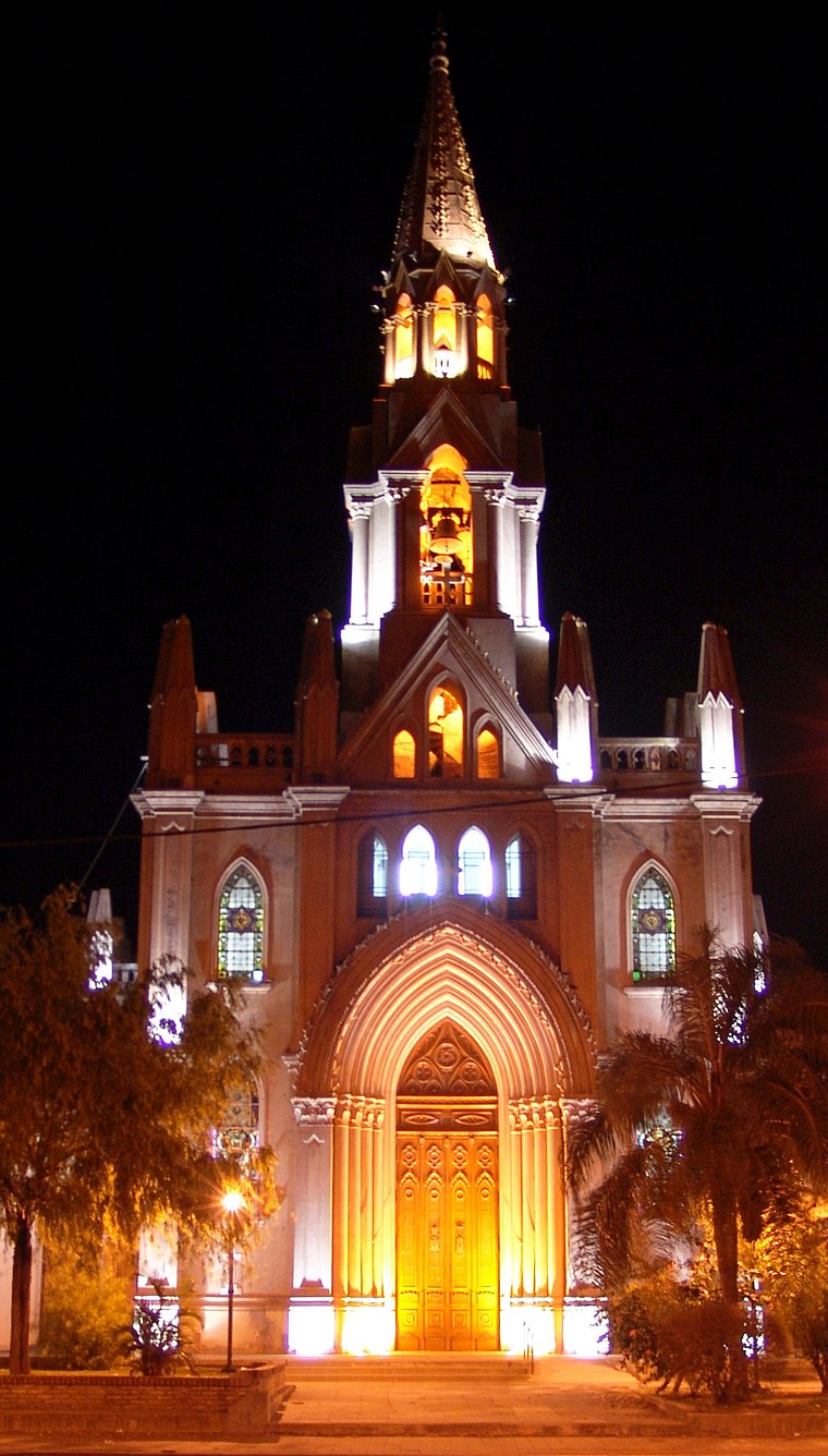
Photo: Alegsa, CC BY-SA 3.0.
Basílica Nuestra Señora de Guadalupe is a church situated 4 km north of Barrio El Pozo, SFE.
Localities in the Area
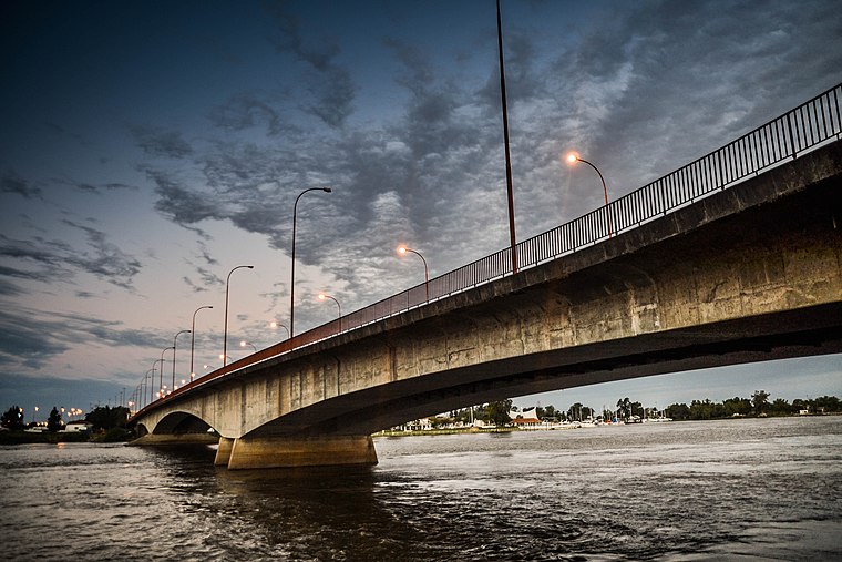
Santa Fe

Photo: Phapyss, CC BY-SA 4.0.
Santa Fe is the capital city of the eponymous province in Argentina.
Barrio El Pozo, SFE
- Type: Suburb
- Categories: neighborhood and locality
- Location: Capital Department, Santa Fe, Pampas, Argentina, South America
- View on OpenStreetMap
Latitude
-31.6366° or 31° 38' 12" southLongitude
-60.65891° or 60° 39' 32" westElevation
19 metres (62 feet)Open Location Code
47WX987R+9COpenStreetMap ID
node 4833601771OpenStreetMap Feature
place=suburbGeoNames ID
6943091Wikidata ID
Q5822923Barrio El Pozo, SFE Satellite Map
© OpenStreetMap, Mapbox and Maxar
Also Known As
- Spanish: El Pozo
- Spanish: El Pozo (Santa Fe)
Localities in the Area
- Vuelta del ParaguayoSuburb
- Siete JefesSuburb
- Villa SetúbalSuburb, 3 km northwest
- San RoqueSuburb, 3 km northwest
- Barrio Villa SetubalNeighborhood, 3 km northwest
Landmarks in the Area
- Parroquia Nrta. Sra. del Perpetuo SocorroChurch
- Seccional 25Police station
- Playa los AlisosBeach
- IglesiaChurch
- AGRUPACION VUELTA DEL PARAGUAYOSports venue
Escape to a Random Place
Discover other destinations in the world.
About Mapcarta. Thanks to Mapbox for providing amazing maps. Data © OpenStreetMap contributors and available under the Open Database License. Text is available under the CC BY-SA 4.0 license, excluding photos, directions and the map. Photo: Wikimedia, CC0.