Aistala
Aistala is a census town in the Ranaghat I CD block in the Ranaghat subdivision of the Nadia district in the Indian state of West Bengal.Notable Places in the Area
Kalinarayanpur Junction railway station
Railway station

Photo: Pinakpani, CC BY-SA 4.0.
Kalinarayanpur Junction railway station is part of the Kolkata Suburban Railway system and operated by Eastern Railway. Kalinarayanpur Junction railway station is situated 3 km north of Aistala.
Bankimnagar railway station
Railway station
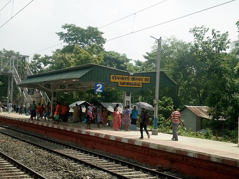
Photo: Pinakpani, CC BY-SA 4.0.
Bankim Nagar railway station is a halt railway station of the Kolkata Suburban Railway system and operated by Eastern Railway. Bankimnagar railway station is situated 3½ km north of Aistala.
Localities in the Area
Ranaghat
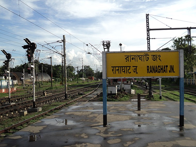
Photo: PP Yoonus, Public domain.
Ranaghat is a small town along the river Churni in the southeast region of West Bengal.
Birnagar
Town
Photo: sushanta mohanta sin…, CC BY 3.0.
Birnagar is an island municipality the Hooghly River, in the Ranaghat subdivision of Nadia district in West Bengal, India. Birnagar is situated 7 km north of Aistala.
Aistala
- Type: Locality with 19,400 residents
- Description: census town in West Bengal, India
- Category: census town of India
- Location: Ranaghat II, Nadia, West Bengal, Eastern India, India, South Asia, Asia
- View on OpenStreetMap
Latitude
23.18° or 23° 10' 48" northLongitude
88.58° or 88° 34' 48" eastPopulation
19,400Elevation
16 metres (52 feet)Open Location Code
7MMC5HJH+2XGeoNames ID
7302860Wikidata ID
Q585675Aistala Satellite Map
© OpenStreetMap, Mapbox and Maxar
Also Known As
- Bengali: আইশতলা
- Bishnupriya: আইসতলা
- Bulgarian: Аистала
- Cebuano: Aistala
- Chinese: Aistala
- Chinese: 艾斯塔拉
- Dutch: Aistala
- French: Aistala
- Hindi: आइशतला
- Italian: Aistala
- Ladin: Aistala
- Malay: Aistala
- Min Nan Chinese: Aistala
- Minangkabau: Aistala
- Nepali: ऐस्ताल
- Newari: ऐस्ताल
- Persian: ایستالا
- Portuguese: Aistala
- Spanish: Aistala
- Swedish: Aistala
- Tamil: எய்சுதாலா
- Vietnamese: Aistala
Localities in the Area
- GopalpurLocality, 7 km southwest
- KamargoriaLocality, 10 km southeast
- ChakdahaCity, 12 km southwest
- Bibhutibhushan Wildlife Sanctuary
- SahispurLocality, 13 km south
Landmarks in the Area
- Ranaghat JunctionRailway stop
- KalinarayanpurRailway station, 3 km north
- Panchberia railway stationRailway station, 5 km northeast
- Habibpur railway stationRailway station, 5 km northwest
- PayradangaRailway station, 7 km southwest
Popular Destinations in West Bengal
Discover Kolkata, Darjeeling, Jaynagar Majilpur and Howrah.
Escape to a Random Place
Discover other destinations in the world.
About Mapcarta. Thanks to Mapbox for providing amazing maps. Text is available under the CC BY-SA 4.0 license, excluding photos, directions and the map. Description text is based on the Wikipdia page Aistala. Photo: Wikimedia, CC0.