Brüttelen station
Brüttelen station is a railway stop in Brüttelen, Seeland, Canton of Bern. Brüttelen station is situated nearby to the villages Treiten and Finsterhennen.Notable Places in the Area
Fenis / Hasenburg, early medieval-medieval castle ruin
Nature reserve

Photo: Ginkgo2g, CC BY-SA 3.0.
Fenis / Hasenburg, early medieval-medieval castle ruin is a nature reserve situated 2½ km west of Brüttelen station.
Müntschemier railway station
Railway station
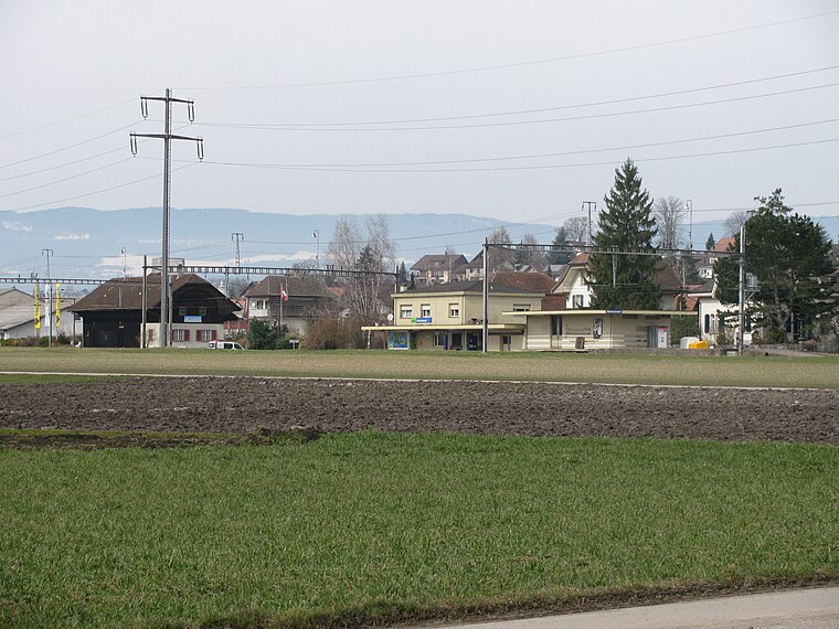
Photo: Zenit, CC BY-SA 3.0.
Müntschemier railway station is a railway station in the municipality of Müntschemier, in the Swiss canton of Bern. Müntschemier railway station is situated 3 km south of Brüttelen station.
Ins Dorf station
Railway station
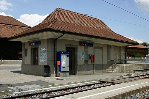
Photo: Wikimedia, CC BY-SA 3.0.
Ins Dorf station is a railway station situated 3½ km southwest of Brüttelen station.
Localities in the Area
Brüttelen
Village
Brüttelen is a municipality in the Seeland administrative district in the canton of Bern in Switzerland.
Treiten
Village
Treiten is a municipality in the Seeland administrative district in the canton of Bern in Switzerland.
Finsterhennen
Village
Finsterhennen is a municipality in the Seeland administrative district in the canton of Bern in Switzerland. Finsterhennen is situated 2½ km east of Brüttelen station.
Brüttelen station
- Type: Railway stop
- Description: train station in Brüttelen in the canton of Bern, Switzerland
- Categories: railway station and transportation
- Location: Brüttelen, Seeland, Canton of Bern, Switzerland, Central Europe, Europe
- View on OpenStreetMap
Latitude
47.02054° or 47° 1' 14" northLongitude
7.14816° or 7° 8' 53" eastElevation
449 metres (1,473 feet)Operator
asmOpen Location Code
8FV924CX+67OpenStreetMap ID
node 2868011157OpenStreetMap Feature
railway=haltGeoNames ID
10385284Wikidata ID
Q33466367Brüttelen station Satellite Map
© OpenStreetMap, Mapbox and Maxar
Also Known As
- English: Bruttelen station
- Esperanto: Brüttelen
- French: gare de Brüttelen
- German: Bahnhof Brüttelen
- Bruettelen, Bahnhofstrasse
- Brüttelen, Bahnhofstrasse
Localities in the Area
- MurräbeLocality
- WeierräbeLocality
- FäggematteLocality
- Im HierzLocality
- OberholzLocality
Places in the Area
- BrüttelenRailway stop
- Restaurant LindeRestaurant, 160 metres north
- Primarschule BrüttelenSchool, 220 metres northwest
- Waldhütte TreitenShelter, 1 km southeast
- Schreinerei Handwerkershop Alois AignerBuilding, 1½ km southeast
Escape to a Random Place
Discover other bus stops in the world.
About Mapcarta. Thanks to Mapbox for providing amazing maps. Data © OpenStreetMap contributors and available under the Open Database License. Text is available under the CC BY-SA 4.0 license, excluding photos, directions and the map. Photo: Simonizer, CC BY-SA 2.0 de.