Chaguaramas
Chaguaramas is a port in Diego Martin Regional Corporation, Trinidad and Tobago. Chaguaramas is situated nearby to the islet Gasparillo Island and the island Gaspar Grande.Notable Places in the Area
Gasparillo Island
Islet
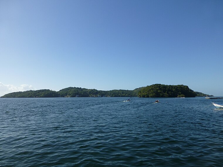
Photo: Grueslayer, CC BY-SA 3.0.
Gasparillo is a small island in the Republic of Trinidad and Tobago.
Gaspar Grande
Island
Photo: Grueslayer, CC BY-SA 3.0.
Gaspar Grande or Gasparee is an island in the Republic of Trinidad and Tobago named for Gaspar de Percín.
Carrera Island
Islet

Photo: Grueslayer, CC BY-SA 4.0.
Carrera Island is one of the two Diego Islands in the Gulf of Paria, Trinidad and Tobago. Carrera Island is situated 3½ km southeast of Chaguaramas.
Localities in the Area
Chaguaramas

Photo: Earth Science and Remote Sensing Unit, Public domain.
Chaguaramas lies in the Northwest Peninsula of Trinidad west of Port of Spain; the name is often applied to the entire peninsula, but is sometimes used to refer to its most developed area.
Carenage
Village

Photo: K. Mapp, CC BY-SA 3.0.
Carenage is a town in the Republic of Trinidad and Tobago. Carenage is situated 6 km east of Chaguaramas.
Westmoorings
Suburb

Photo: Grueslayer, CC BY-SA 4.0.
Westmoorings is a residential area in the region of Diego Martin on the island Trinidad, west of Port of Spain, the capital of Trinidad and Tobago. Westmoorings is situated 10 km east of Chaguaramas.
Chaguaramas
- Type: Port
- Category: transportation
- Location: Diego Martin Regional Corporation, Trinidad and Tobago, Lesser Antilles, Caribbean, North America
- View on OpenStreetMap
Latitude
10.68333° or 10° 41' northLongitude
-61.65° or 61° 39' westElevation
20 metres (66 feet)Open Location Code
772WM8MX+8XGeoNames ID
11525719Chaguaramas Satellite Map
© OpenStreetMap, Mapbox and Maxar
Other Places Named Chaguaramas
Localities in the Area
- La RetraiteLocality
- Petit BourgLocality, 3½ km east
- Hart’s CutLocality, 3½ km east
- Mount PleasantLocality, 5 km northeast
- CocoLocality, 7 km east
Places in the Area
- Chaguaramas RiverStream
- Trinidad OMEGA transmitterFacility, 2 km northeast
- Hart’s CutStream, 2½ km east
- Scorpion LedgeShoal, 3½ km south
- Caño VenturoStream, 4 km east
Popular Destinations in Trinidad and Tobago
Discover Port of Spain, Chaguanas, San Fernando and Scarborough.
Escape to a Random Place
Discover other destinations in the world.
About Mapcarta. Thanks to Mapbox for providing amazing maps. Text is available under the CC BY-SA 4.0 license, excluding photos, directions and the map. Photo: Wikimedia, CC0.