Chaguaramas
Chaguaramas lies in the Northwest Peninsula of Trinidad west of Port of Spain; the name is often applied to the entire peninsula, but is sometimes used to refer to its most developed area.Photo: Earth Science and Remote Sensing Unit, Public domain.
Notable Places in the Area
Gasparillo Island
Islet
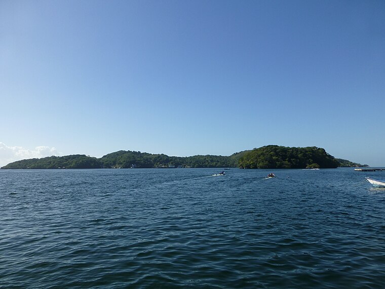
Photo: Grueslayer, CC BY-SA 3.0.
Gasparillo is a small island in the Republic of Trinidad and Tobago.
Gaspar Grande
Island
Photo: Grueslayer, CC BY-SA 3.0.
Gaspar Grande or Gasparee is an island in the Republic of Trinidad and Tobago named for Gaspar de Percín.
Carrera Island
Islet

Photo: Grueslayer, CC BY-SA 4.0.
Carrera Island is one of the two Diego Islands in the Gulf of Paria, Trinidad and Tobago.
Chaguaramas
- Type: Town
- Description: town on Trinidad island
- Category: locality
- Location: Diego Martin Regional Corporation, Trinidad, Trinidad and Tobago, Lesser Antilles, Caribbean, North America
- View on OpenStreetMap
Latitude
10.6828° or 10° 40' 58" northLongitude
-61.6392° or 61° 38' 21" westElevation
5 metres (16 feet)United Nations Location Code
TT CHAOpen Location Code
772WM9M6+48OpenStreetMap ID
node 1822868105OpenStreetMap Feature
place=townGeoNames ID
3574806Wikidata ID
Q2652350Chaguaramas Satellite Map
© OpenStreetMap, Mapbox and Maxar
Also Known As
- Asturian: Chaguaramas
- Chinese: 查加拉玛斯
- Chinese: 查加拉瑪斯
- Chinese: 查瓜拉马斯
- Dutch: Chaguaramas
- English: Chaguaramas, Trinidad and Tobago
- French: Chaguaramas
- German: Chaguaramas
- Hebrew: צ'אגוראמאס
- Japanese: シャガラマス
- Japanese: チャガラマス
- Polish: Chaguaramas
- Russian: Чагуарамас
- Slovenian: Chaguaramas
- Spanish: Chaguaramas
- Spanish: Chaguaramas (Trinidad y Tobago)
- Turkish: Chaguaramas, Trinidad ve Tobago
- Wu Chinese: 查瓜拉马斯
Other Places Named Chaguaramas
Localities in the Area
- CarenageVillage, 5 km east
- Monos IslandTown, 6 km west
- Point CumanaVillage, 7 km east
- GlencoeVillage, 7 km east
- Huevos IslandTown, 8 km west
Popular Destinations in Trinidad
Discover Port of Spain, Chaguanas, San Fernando and Arima.
Escape to a Random Place
Explore your world with these selected destinations of excellence.
About Mapcarta. Thanks to Mapbox for providing amazing maps. Data © OpenStreetMap contributors and available under the Open Database License. Text is available under the CC BY-SA 4.0 license, excluding photos, directions and the map. Description text is based on the Wikipdia page Chaguaramas. Photo: Earth Science and Remote Sensing Unit, Public domain.