Carusucan
Carusucan is a village in Municipality of Santa Barbara, Pangasinan, Ilocos and has about 1,880 residents. Carusucan is situated nearby to the quarter Maticmatic and the village Botao.Localities in the Area
Santa Barbara
Town

Photo: P199, CC BY-SA 3.0.
Pangasinan is a province in Ilocos Region of in northern Luzon, the chief island of the Philippines. Santa Barbara is situated 5 km northwest of Carusucan.
Mapandan
Town
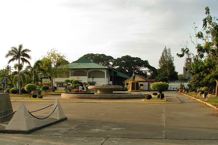
Photo: P199, CC BY-SA 3.0.
Pangasinan is a province in Ilocos Region of in northern Luzon, the chief island of the Philippines. Mapandan is situated 6 km north of Carusucan.
Malasiqui

Photo: Ramon FVelasquez, CC BY-SA 3.0.
Malasiqui, officially the Municipality of Malasiqui, is a 1st class municipality in the province of Pangasinan, Philippines.
Carusucan
- Type: Village with 1,880 residents
- Category: locality
- Location: Municipality of Santa Barbara, Pangasinan, Ilocos, Luzon, Philippines, Southeast Asia, Asia
- View on OpenStreetMap
Latitude
15.97481° or 15° 58' 29" northLongitude
120.44256° or 120° 26' 33" eastPopulation
1,880Open Location Code
7Q72XCFV+W2OpenStreetMap ID
node 9589814487OpenStreetMap Feature
place=villageCarusucan Satellite Map
© OpenStreetMap, Mapbox and Maxar
Also Known As
- Carusocan
Other Places Named Carusucan
Localities in the Area
- MaticmaticQuarter
- BotaoVillage
- PotiocanVillage
- Tebag WestQuarter
- BanaoangVillage
Landmarks in the Area
- Mizpah Fundamental Baptist ChurchChurch
- Banaoang Barangay HallTown hall
- Banaoang United Methodist ChurchChurch, 2½ km northwest
- Regional Animal Disease Diagnostic LaboratoryGovernment office, 2½ km east
- Tebag East Barangay HallTown hall, 3 km east
Escape to a Random Place
Discover other villages in the world.
About Mapcarta. Thanks to Mapbox for providing amazing maps. Data © OpenStreetMap contributors and available under the Open Database License. Text is available under the CC BY-SA 4.0 license, excluding photos, directions and the map. Photo: Wikimedia, CC0.