Uster Reformed Church
Reformierte Kirche Uster is an Evangelical Reformed church in the Swiss municipality of Uster in the Canton of Zürich that was built in 1824. The predecessor St.Photo: Roland zh, CC BY-SA 3.0.
- Type: Church
- Denomination: Protestant
- Description: church building in Uster in the canton of Zürich, Switzerland
- Wheelchair access: yes
Notable Places in the Area
Uster Castle
Castle

Photo: Roland zh, CC BY-SA 3.0.
Uster Castle is a hill castle which was built probably around 1200 AD by the House of Rapperswil in the Swiss municipality of Uster in the Canton of Zürich.
Uster free church
Church
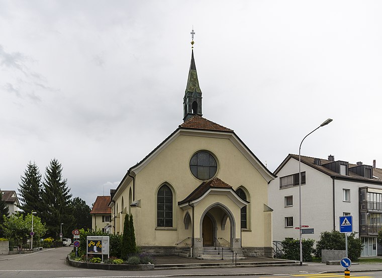
Photo: Ponte1112, CC BY-SA 3.0.
Uster free church is situated 220 metres north of Uster Reformed Church.
Uster railway station
Railway station
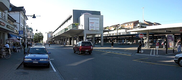
Photo: Wikimedia, Public domain.
Uster is a railway station in Switzerland, situated in the city of Uster. Uster railway station is situated 560 metres north of Uster Reformed Church.
Localities in the Area
Maur
Village
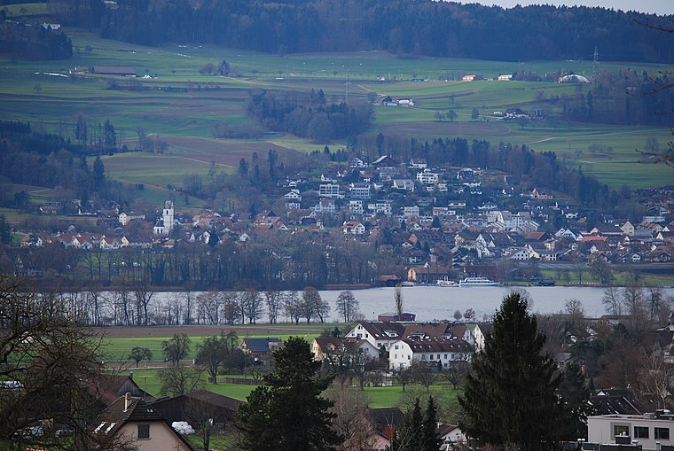
Photo: DidiWeidmann, CC BY-SA 3.0.
Maur is a municipality in the district of Uster in the canton of Zürich in Switzerland. Maur is situated 3½ km west of Uster Reformed Church.
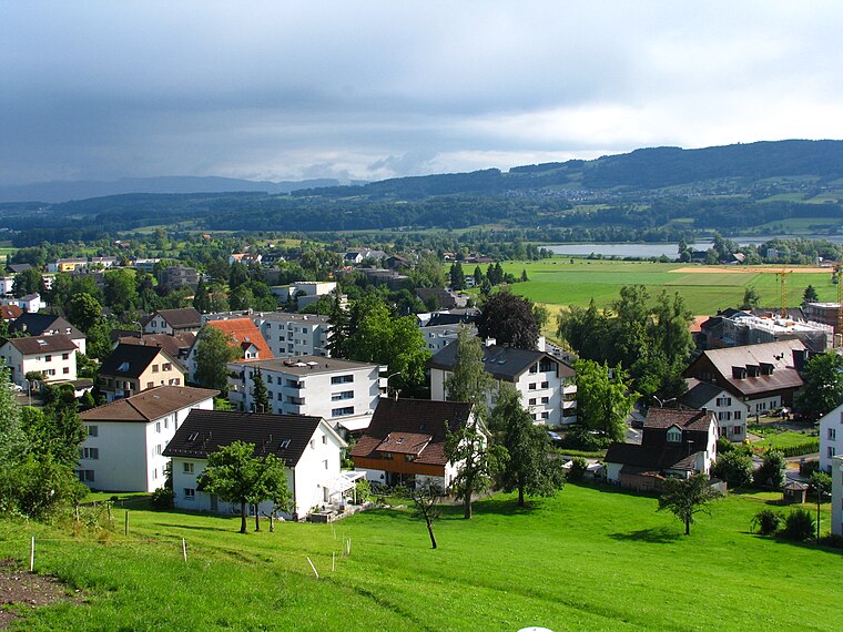
Greifensee
Village
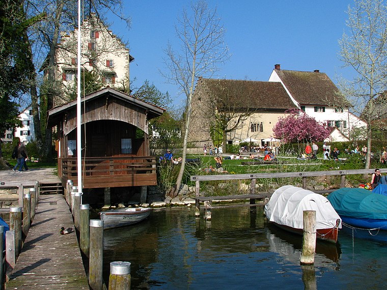
Photo: Roland zh, CC BY-SA 3.0.
Uster is a city near Zurich, Switzerland. Uster lies 350m above sea level, so it is just in the winter snow. Greifensee is situated 3½ km northwest of Uster Reformed Church.
Uster Reformed Church
- Categories: architectural structure, building, place of worship and religion
- Location: Uster, Uster District, Canton of Zurich, Zurich, Switzerland, Central Europe, Europe
- View on OpenStreetMap
Latitude
47.34584° or 47° 20' 45" northLongitude
8.71684° or 8° 43' 1" eastOpen Location Code
8FVC8PW8+8POpenStreetMap ID
way 31798218OpenStreetMap Feature
amenity=place_of_worshipOpenStreetMap Feature
building=churchOpenStreetMap Attribute
denomination=protestantOpenStreetMap Attribute
wheelchair=yesWikidata ID
Q2137114Uster Reformed Church Satellite Map
© OpenStreetMap, Mapbox and Maxar
Also Known As
- English: Reformierte Kirche Uster
- English: reformed church
- German: Reformierte Kirche.Uster
- German: Reformierte Kirche Uster
- Evangelisch-reformierte Kirche Uster
Landmarks in the Area
- Qtopia Kino + BarMovie theater
- Let‘s GoHealth club, 120 metres north
- Spielplatz Schulhaus DorfPlayground, 130 metres northwest
- DreilindenplatzPark, 140 metres west
- Heilsarmee Zürich-OberlandChurch, 170 metres northwest
Places in the Area
- Boonmee MickyFast food restaurant
- SeraphimInterior decorations shop
- Schoeller & Viviani & RehPsychotherapist
- BurgfloristenFlower shop
- Kinderkrippe Mary PoppinsDay care
Escape to a Random Place
Discover other churches in the world.
About Mapcarta. Thanks to Mapbox for providing amazing maps. Data © OpenStreetMap contributors and available under the Open Database License. Text is available under the CC BY-SA 4.0 license, excluding photos, directions and the map. Description text is based on the Wikipdia page Uster Reformed Church. Photo: Roland zh, CC BY-SA 3.0.