
MyTopo
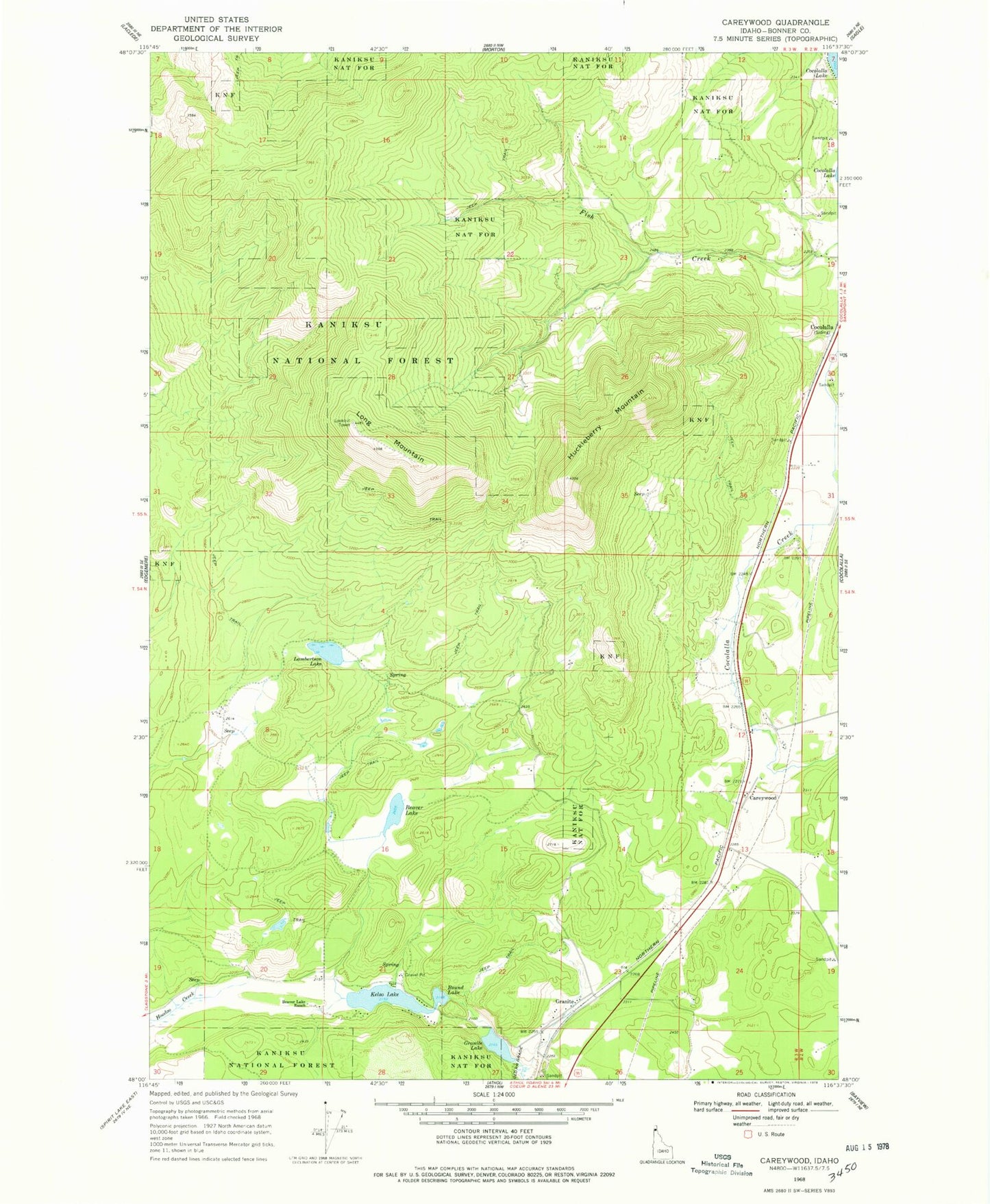
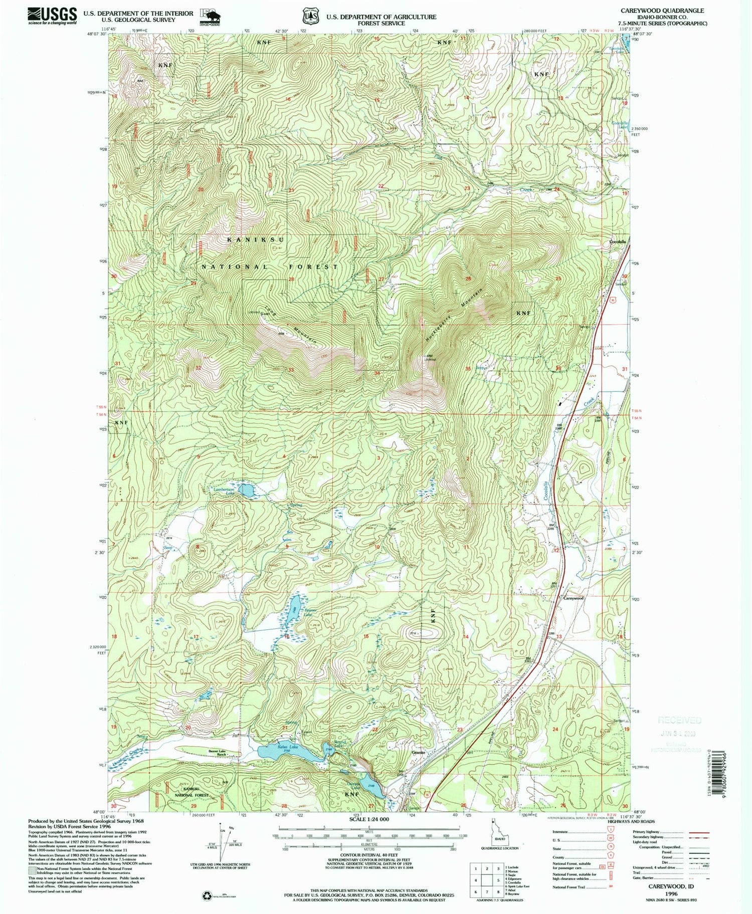
Classic USGS Careywood Idaho 7.5'x7.5' Topo Map
Couldn't load pickup availability
Historical USGS topographic quad map of Careywood in the state of Idaho. Typical map scale is 1:24,000, but may vary for certain years, if available. Print size: 24" x 27"
This quadrangle is in the following counties: Bonner.
The map contains contour lines, roads, rivers, towns, and lakes. Printed on high-quality waterproof paper with UV fade-resistant inks, and shipped rolled.
Contains the following named places: Beaver Lake, Beaver Lake Ranch, Careywood Creek, Granite Lake, Kelso Lake, Lambertson Lake, Round Lake, Kelso Lake Access, Granite Lake Access, Huckleberry Mountain Lookout, Careywood, Long Mountain, Cocolalla Siding, Granite, Huckleberry Mountain, Kelso, Gramite Lake Access Area, Kelso Lake Access Area, Blanchard-Glengary Division, Selkirk Fire Cocolalla Station, Selkirk Fire Careywood Station, Careywood Post Office