MyTopo
Classic USGS Chilcoot California 7.5'x7.5' Topo Map
Couldn't load pickup availability
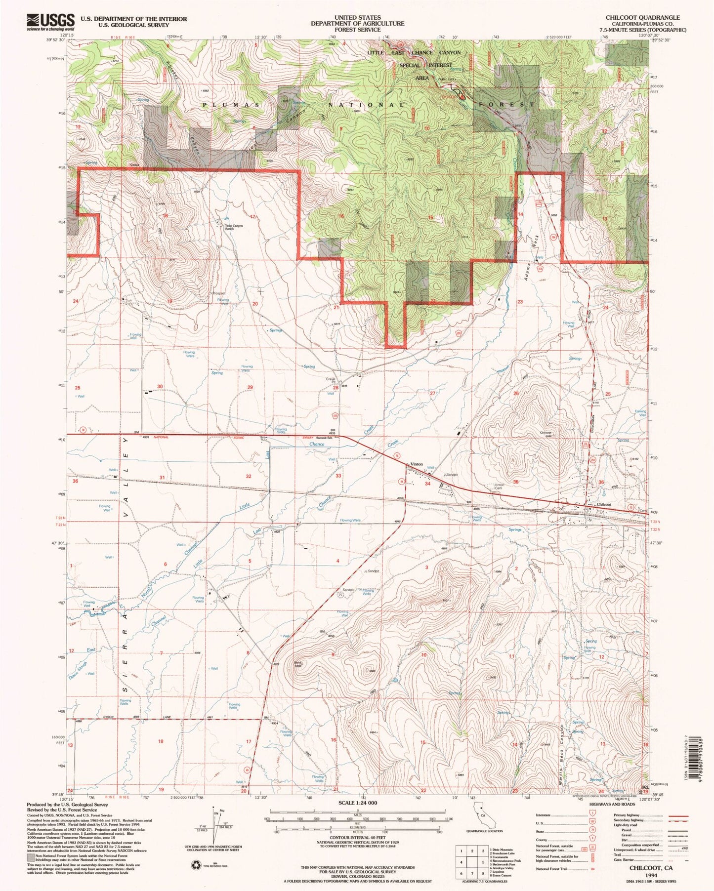
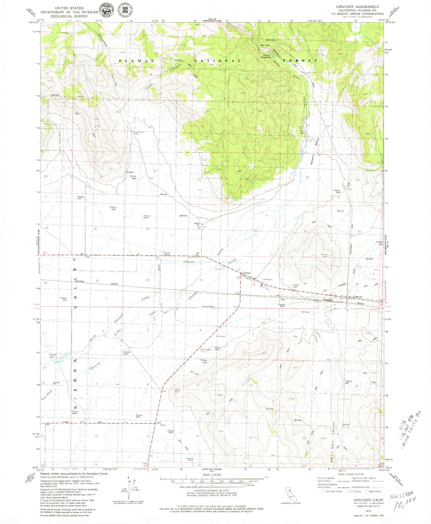
Historical USGS topographic quad map of Chilcoot in the state of California. Map scale may vary for some years, but is generally around 1:24,000. Print size is approximately 24" x 27"
This quadrangle is in the following counties: Lassen, Plumas.
The map contains contour lines, roads, rivers, towns, and lakes. Printed on high-quality waterproof paper with UV fade-resistant inks, and shipped rolled.
Contains the following named places: Adams Neck, Chilcoot, Chilcoot Campground, Chilcoot Cemetery, Chilcoot Post Office, Chilcoot-Vinton Census Designated Place, Dyson Slough, Little Last Chance Canyon Special Interest Area, Little Last Chance Creek, Martin Neck Canyon, Sierra Valley Fire Protection District, Summit School, Trosi Canyon, Trosi Canyon Ranch, Vinton, Vinton Cemetery, Whiskey Canyon, ZIP Code: 96135