MyTopo
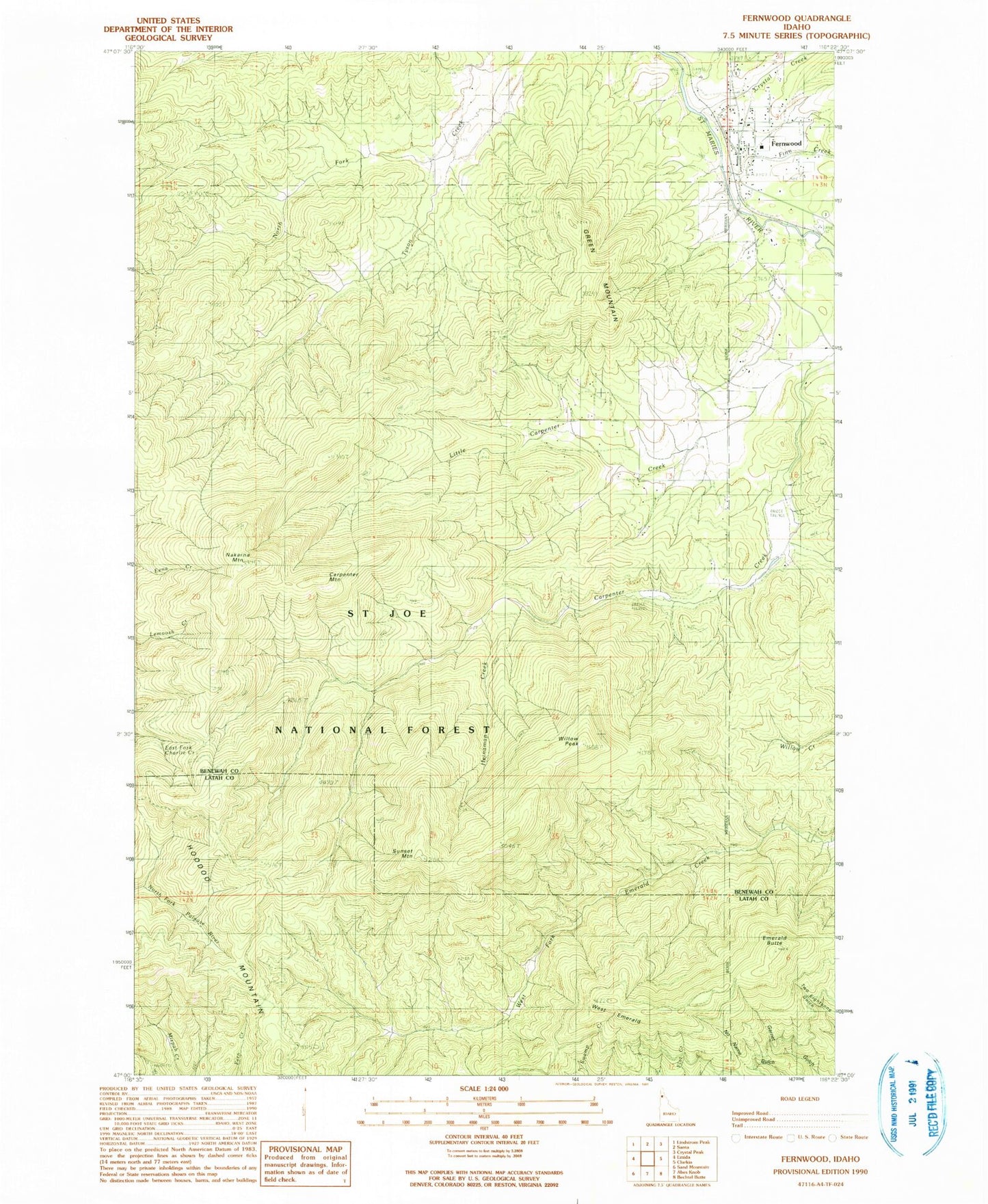
Classic USGS Fernwood Idaho 7.5'x7.5' Topo Map
Couldn't load pickup availability
Historical USGS topographic quad map of Fernwood in the state of Idaho. Map scale may vary for some years, but is generally around 1:24,000. Print size is approximately 24" x 27"
This quadrangle is in the following counties: Benewah, Latah.
The map contains contour lines, roads, rivers, towns, and lakes. Printed on high-quality waterproof paper with UV fade-resistant inks, and shipped rolled.
Contains the following named places: Carpenter Creek, Carpenter Mountain, Crystal Creek, Emerald Butte, Fernwood, Fernwood Census Designated Place, Fernwood Post Office, Fernwood Rural Fire Protection District, Finn Creek, Green Mountain, Heinaman Creek, Little Carpenter Creek, Nakarna Mountain, North Fork Tyson Creek, Sunset Mountain, Upriver Ambulance, Upriver Elementary - Junior High School, West Emerald, Willow Peak