MyTopo
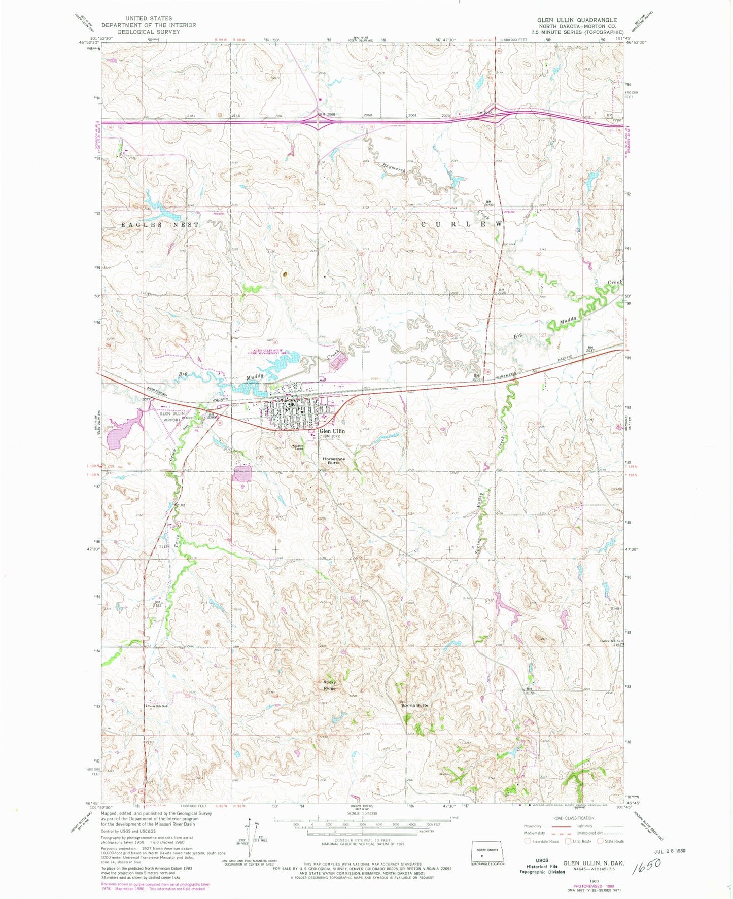
Classic USGS Glen Ullin North Dakota 7.5'x7.5' Topo Map
Couldn't load pickup availability
Historical USGS topographic quad map of Glen Ullin in the state of North Dakota. Map scale may vary for some years, but is generally around 1:24,000. Print size is approximately 24" x 27"
This quadrangle is in the following counties: Morton.
The map contains contour lines, roads, rivers, towns, and lakes. Printed on high-quality waterproof paper with UV fade-resistant inks, and shipped rolled.
Contains the following named places: City of Glen Ullin, Curlew School Number 3, Glen Ullin, Glen Ullin Ambulance Service, Glen Ullin Cemetery, Glen Ullin City Police Department, Glen Ullin Fire Station, Glen Ullin Municipal Building, Glen Ullin Museum, Glen Ullin Post Office, Glen Ullin Public Library, Glen Ullin Public School, Glen Ullin Railroad Dam, Glen Ullin Regional Airport, Haymarsh Creek, Horseshoe Butte, Marian Manor Healthcare Center, Rocky Ridge, Sacred Heart Cemetery, Schatz Dam, Spring Butte, Spring Valley Creek, Tavis Creek, Tavis School Number 8, ZIP Code: 58631