MyTopo
Classic USGS Rock River Wyoming 7.5'x7.5' Topo Map
Couldn't load pickup availability
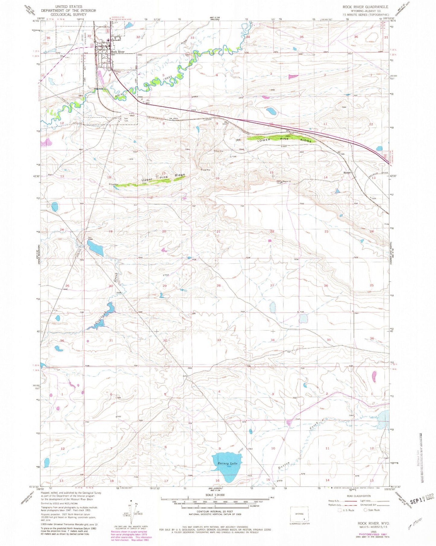
Historical USGS topographic quad map of Rock River in the state of Wyoming. Map scale may vary for some years, but is generally around 1:24,000. Print size is approximately 24" x 27"
This quadrangle is in the following counties: Albany.
The map contains contour lines, roads, rivers, towns, and lakes. Printed on high-quality waterproof paper with UV fade-resistant inks, and shipped rolled.
Contains the following named places: Coal Bank Dam, Coal Bank Reservoir, Cozy Hollow School, Harper, Joe D Dam, Joe D Reservoir, Lower Pine Ridge, Rainey Lake, River Bridge School, Rock Creek Mine, Rock River, Rock River Cemetery, Rock River Elementary School, Rock River High School, Rock River Junior High School, Rock River Post Office, Rock River Volunteer Fire Department, Town of Rock River, Upper Pine Ridge