MyTopo
Bruni Texas US Topo Map
Couldn't load pickup availability
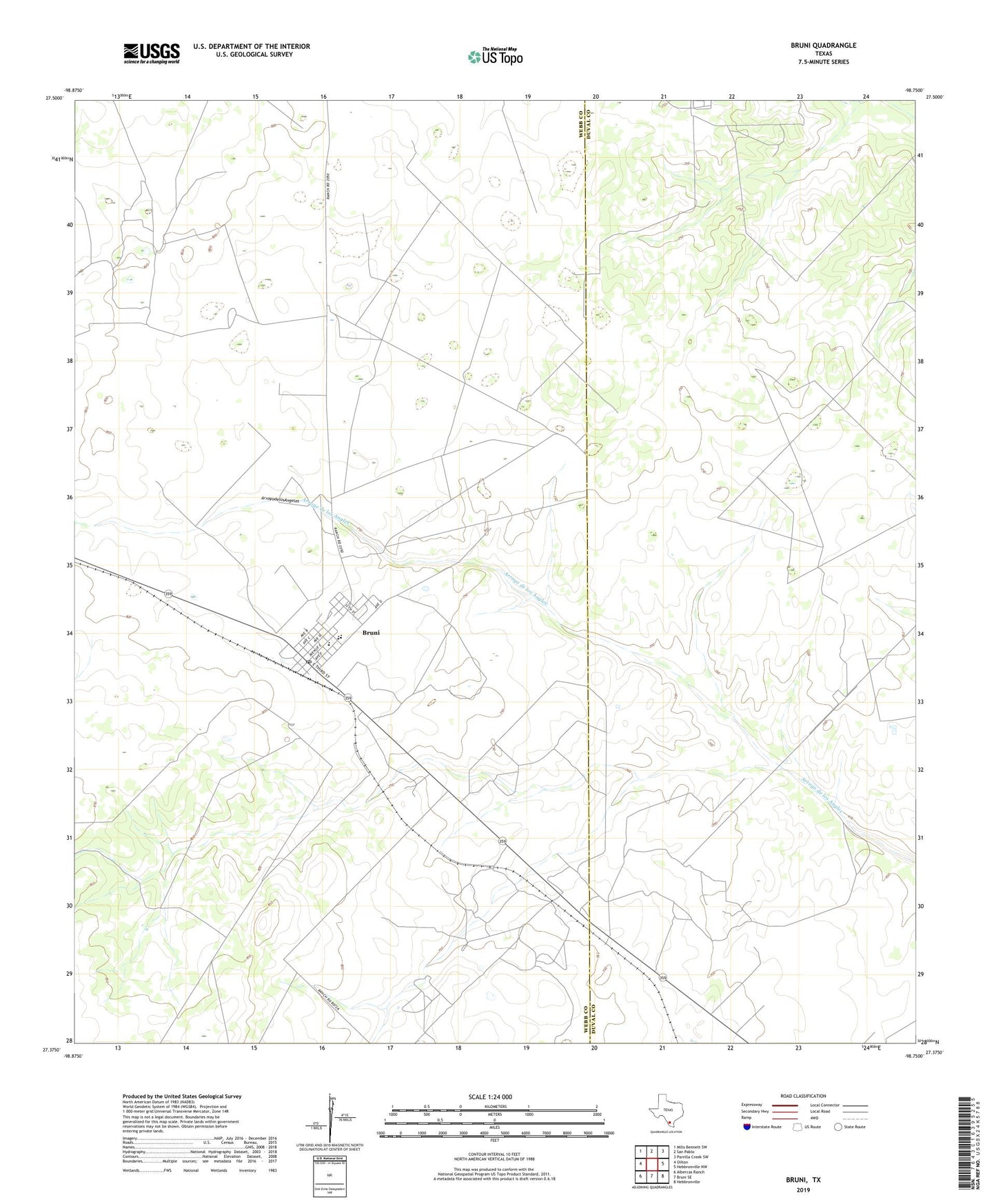
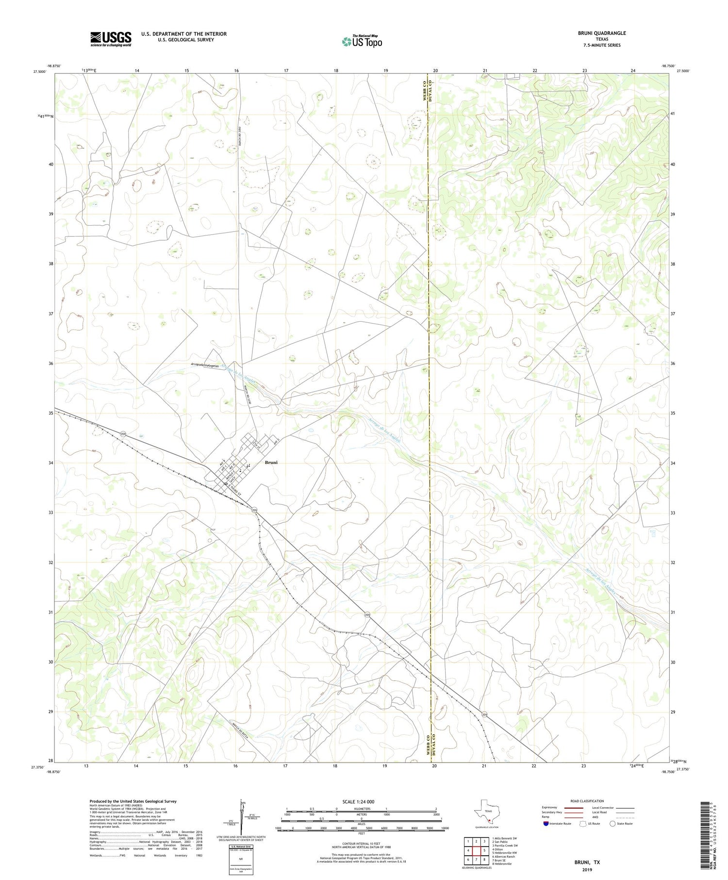
2019 topographic map quadrangle Bruni in the state of Texas. Scale: 1:24000. Based on the newly updated USGS 7.5' US Topo map series, this map is in the following counties: Webb, Duval. The map contains contour data, water features, and other items you are used to seeing on USGS maps, but also has updated roads and other features. This is the next generation of topographic maps. Printed on high-quality waterproof paper with UV fade-resistant inks.
Quads adjacent to this one:
West: Oilton
Northwest: Mills Bennett SW
North: San Pablo
Northeast: Parrilla Creek SW
East: Hebbronville NW
Southeast: Hebbronville
South: Bruni SE
Southwest: Albercas Ranch
Contains the following named places: Aguacalosa Windmill, Bruni, Bruni Census Designated Place, Bruni Post Office, Cole Oil Field, El Clemente Windmill, El de Camino Windmill, El Medio Windmill, El Norte Windmill, Encinos Windmill, O'Hern Oil Field, Thanksgiving Oil Field, ZIP Code: 78344