
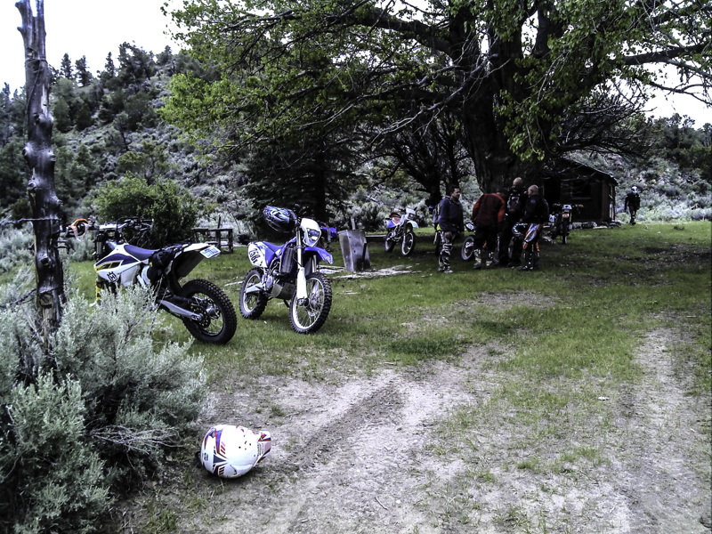
For our travel trip, I would like you to join me in one of my favorite rides we have done over the past few years known as the Nevada Rally.
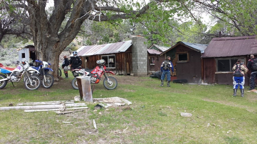
This trip was done on dual sport motorcycles and can be done on adventure bikes with some modifications along with 4×4 or high clearance vehicles again with some modifications.
For the most part, we will stick with how we did this ride via motorcycle and from there one can easily change a few areas on their map to make it on adventure bikes or high clearance vehicles.
Now I say dual sport bikes are best for this route we designed but know a good rider on most adventure bikes should be able to do this route. KTM adventure the 990 or the 690, Husqvarna 701 with a good rider should be able to ride I would say 85% of the route, there was one or two sections that were pretty tight and it is unknown how parts of these sections are now. These sections of the route might be better it might be worse unknown until you tackle it.
Also know that if you plan on doing this route to please ride with a buddy, I never recommend riding alone or even driving alone. When doing routes like this two or more bikes or vehicles is always safe.
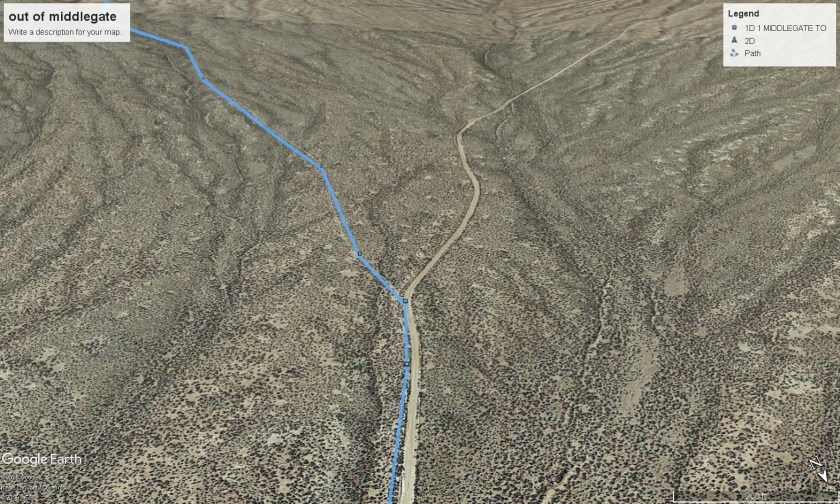
Navigating: We primarily use Garmin GPS units, a few riders in the group chose to use their Smartphone and a GPS topo app and that worked fine but the smartphone does have its limitations in topo navigating as when you lose cell service some of the apps lose their topo capabilities.
For this trip, we will describe small sections at a time since there is a lot out there on this route.
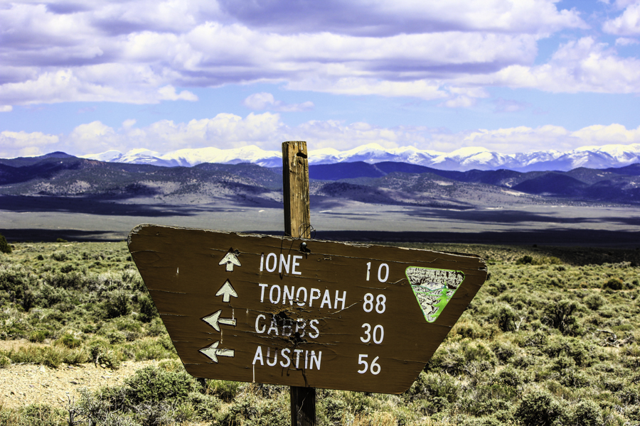
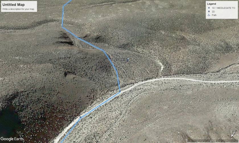
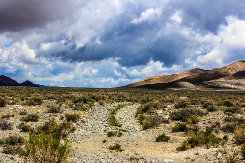
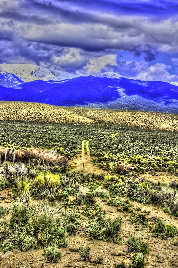
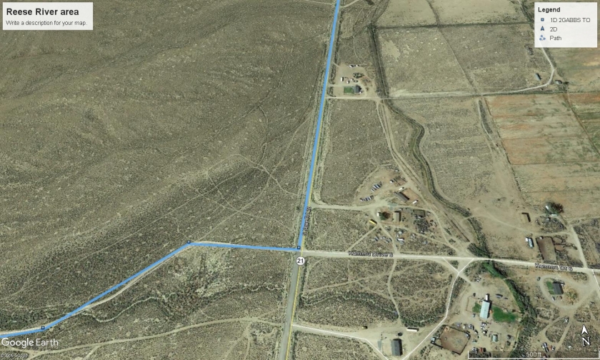
The overview of the trip was a 3-day dual sport ride from Middlegate Nevada to Eureka Nevada and back totaling about 485 miles of dirt roads, sand washes, paved roads, single track, double track and some virgin terrain. We put in a few of what I call technical alternates for our riders that enjoyed higher skilled riding and offered a few bailout sections just in case we have bike issues. If you rode all the alternates you probably would finish the route at about 550 miles.
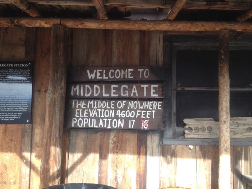
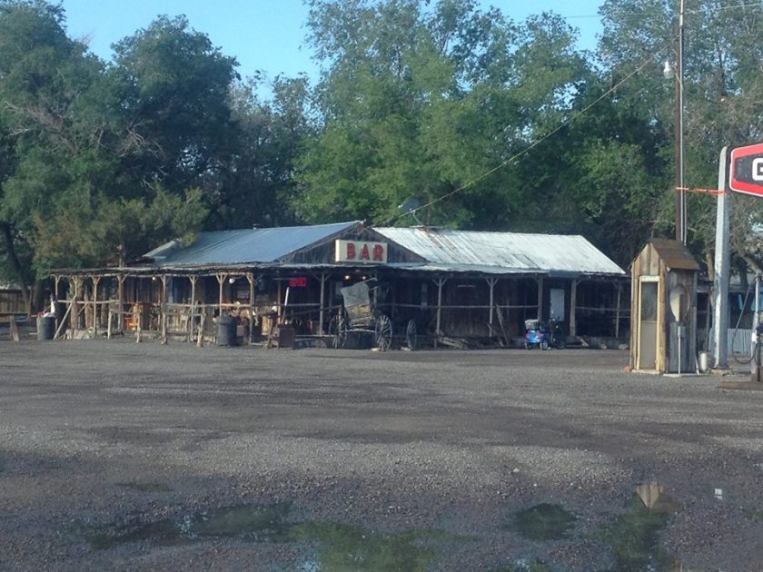
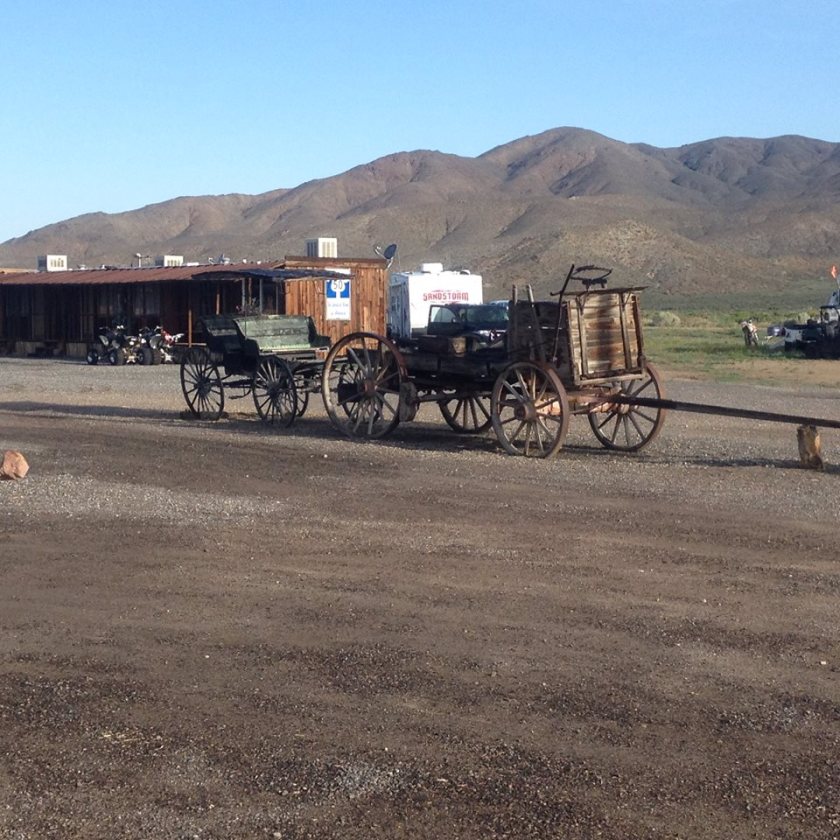
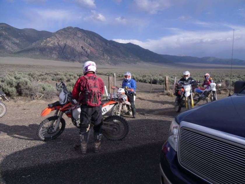
Staging: Where to stage this ride was an issue, there are a few places along the hwy 50 that one can park their vehicles and if you are on an adventure bike you might not have this issue but for us, we like to park in a public area just to keep our trucks safe. I ended up choosing
I ended up choosing Middlegate Station. Middlegate Station is a bar/restaurant/motel where lots of people on quads, and UTV’s seem to stay and ride out of. I asked the owners if it was okay for us to park our trucks on their property and they said yes no problem. The property is big so you can park pretty far away from the building and not be a burden. Middlegate has very good reviews for its food and not bad for lodging since there is not too much in the area. I would ask before just parking your truck there and unloading, best be courteous and ask before, they did answer my email and they do take reservations for lodging.
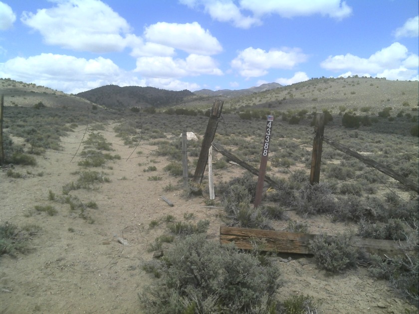
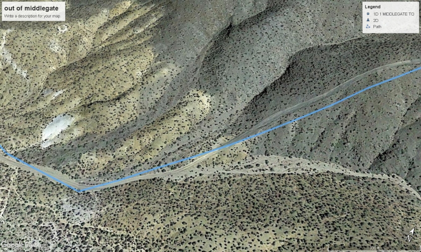
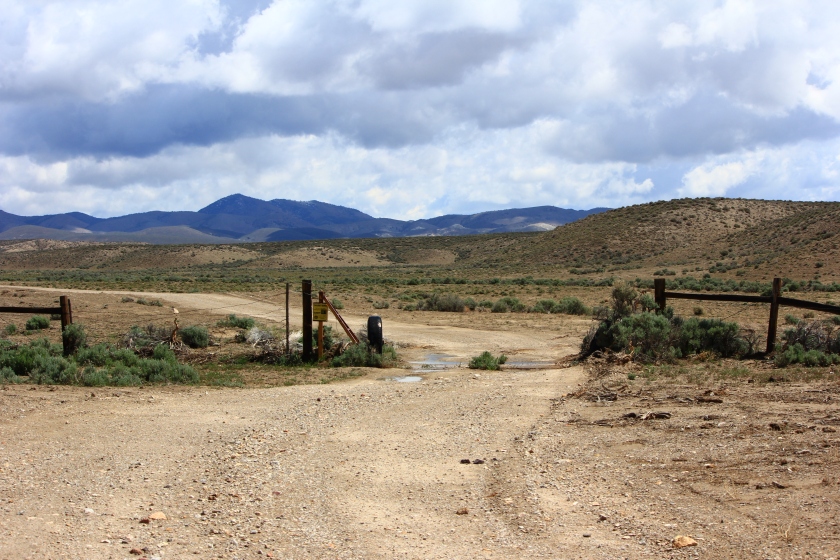
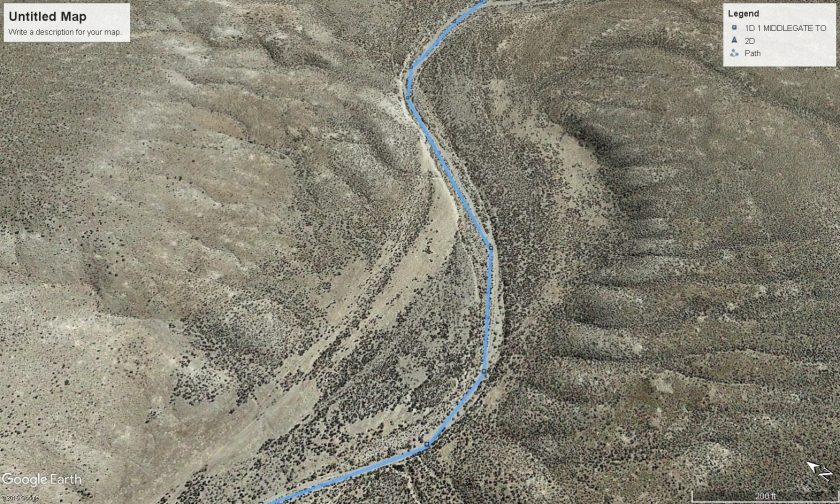
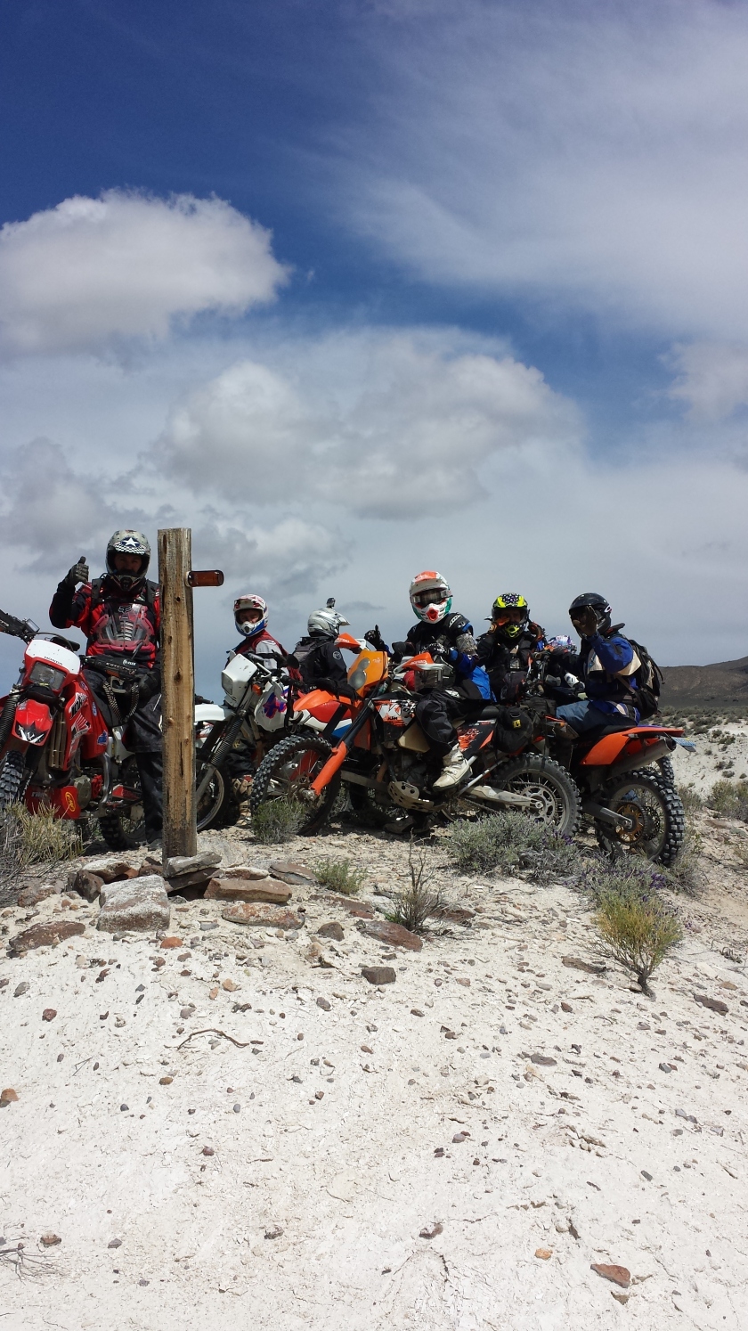
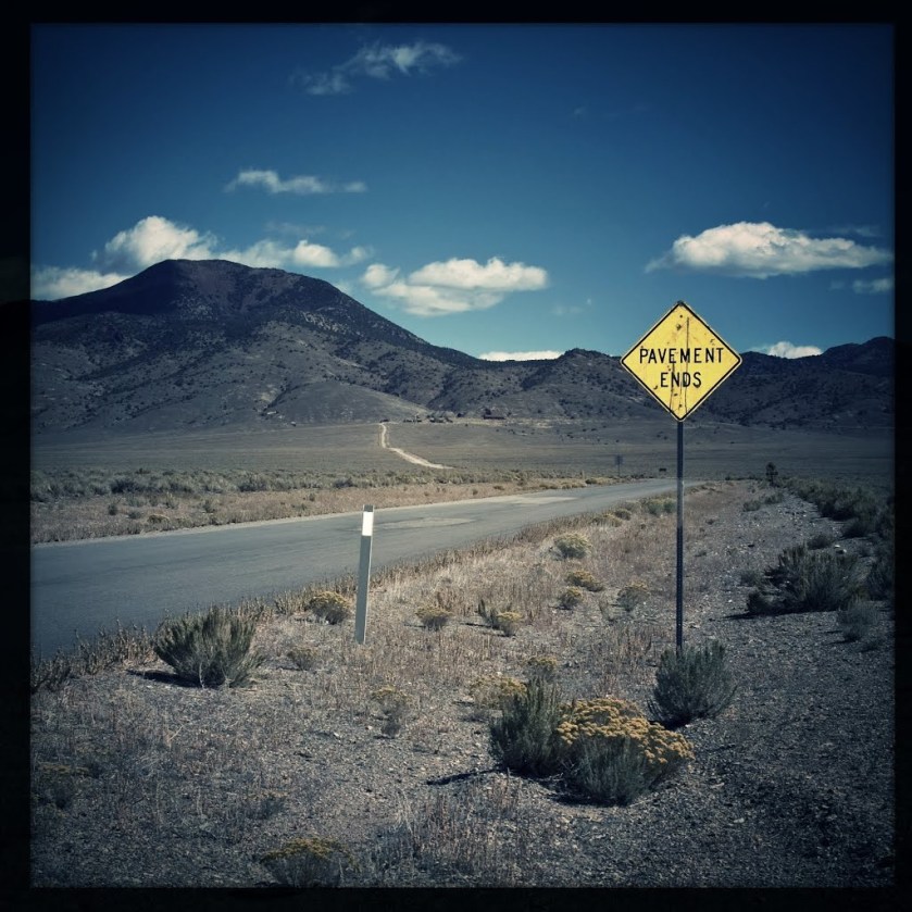
Section I: Day one we said a nice prayer for safety as always and headed out south on hwy 361 for no more than 500 feet and right turn past the first gate and we are now in the dirt.
First Gate of the day
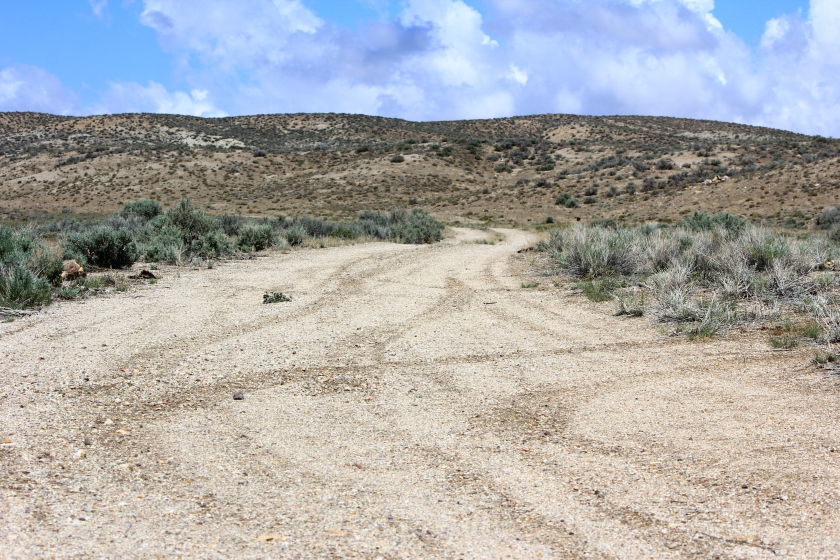
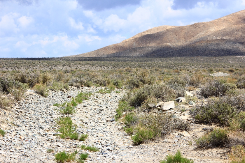
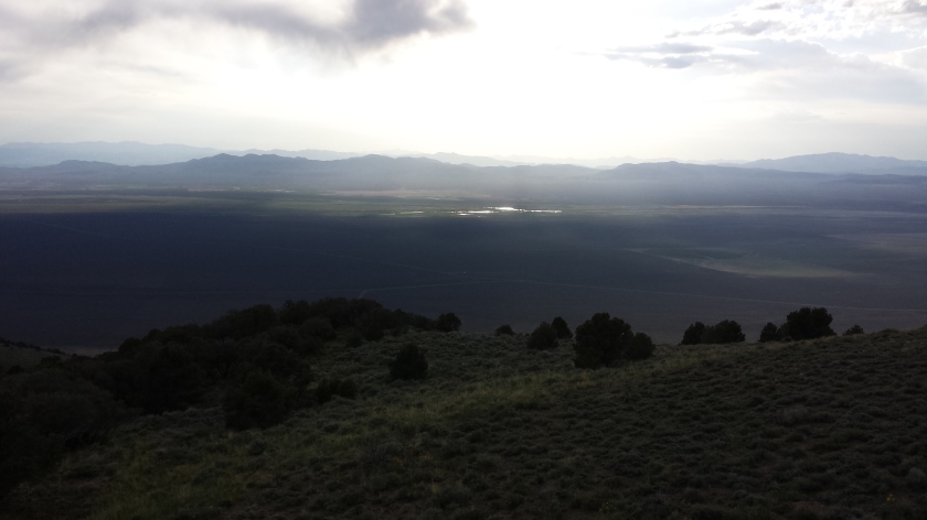
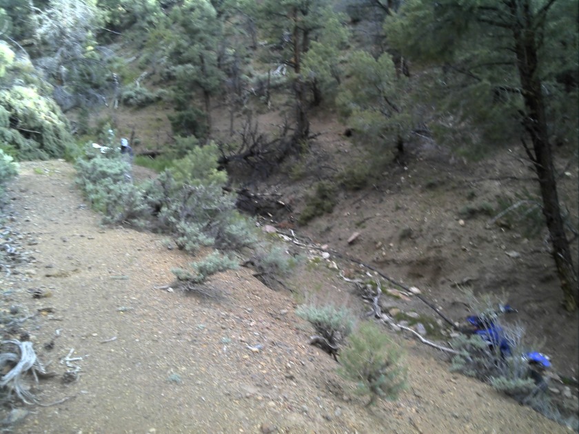
This first section is not too sandy and has some single track sections in it, If I were to do it again I would probably look around for more single-track, it had just rained the day before and there was no dust in the area. The route takes you up to 6700 feet and you get a nice view of the surrounding areas. After that, the route works its way south and enters an area that the two
After that, the route works its way south and enters an area that the two track become pretty hard to follow. I basically used known tracks that have been ridden in the past but this small area I call no man’s land the two track ended and we were just following our GPS track, kind of hunting and picking a good line through the desert.
Eventually, the track caught a two track and then we hit the main dirt road that took us to hwy 361. No man’s land is a bit sketchy if you are on a big adventure bike but I think for the most part a rider should not have an issue. 4×4’s would need to modify their route a bit, I would not recommend the no man’s land area as I would also discourage a 4×4 just might skip this section all together but if you have a good map software you might be able to work around and along the same route.
First stop of the day, 6700 feet elevation, nice view of the east
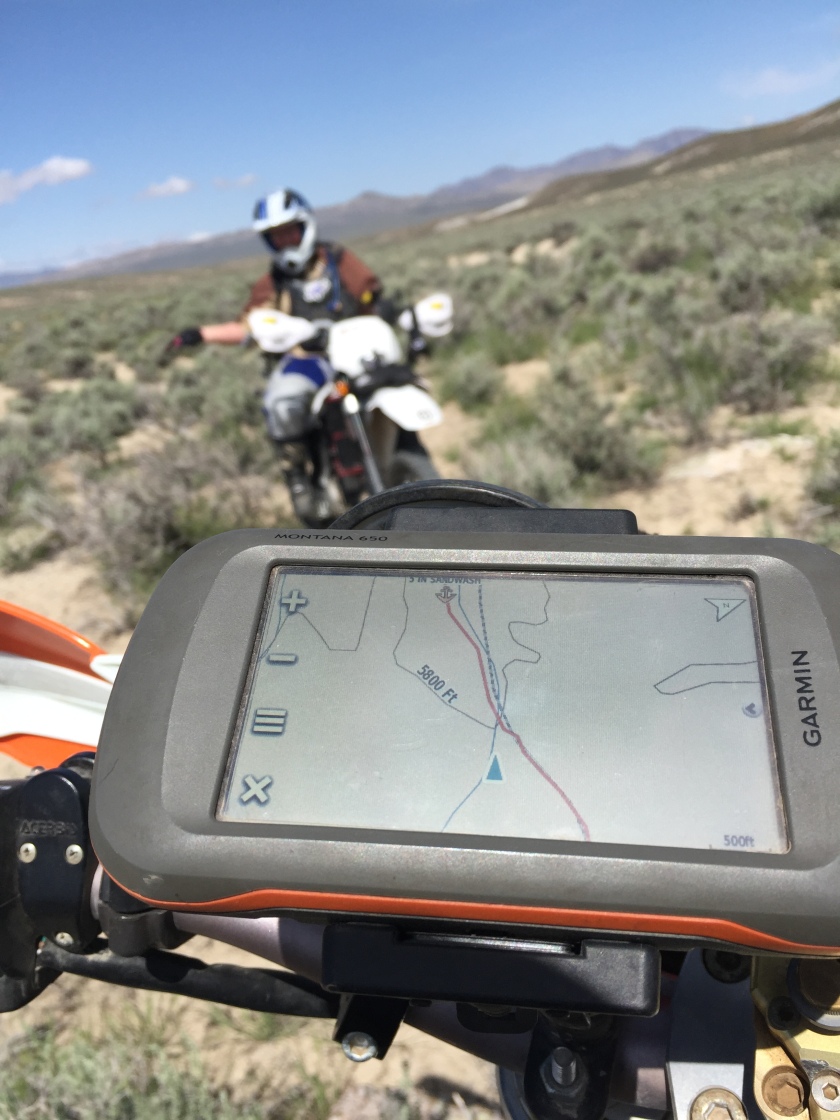
My Garmin Montan 650, as my wife waits patiently for us guys to get going
Here is where the two track gets tough to follow, I suspect if you take the right you can catch back onto the main dirt road, something to check out if you are in a 4×4
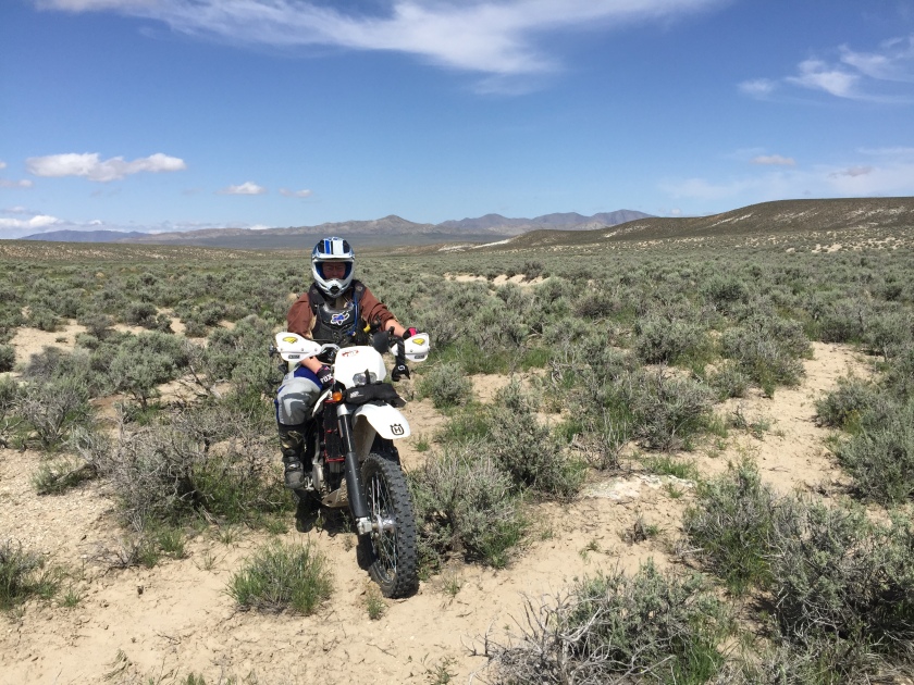
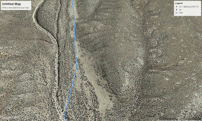
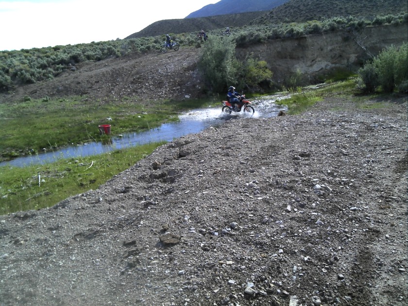
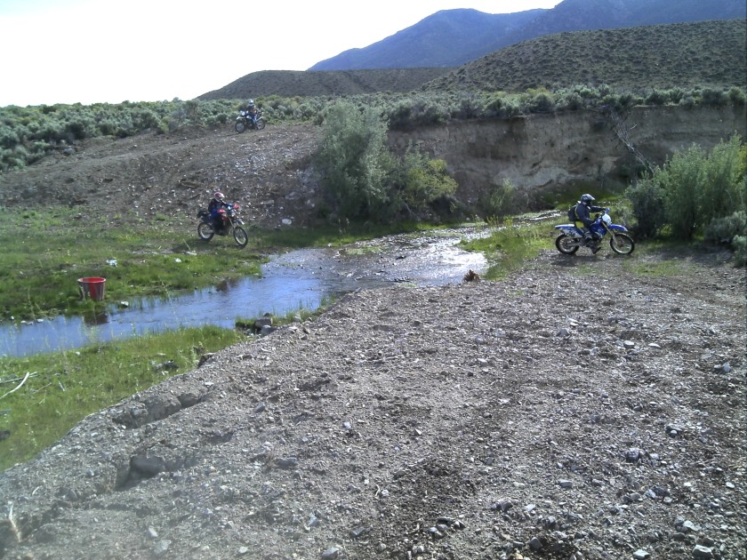
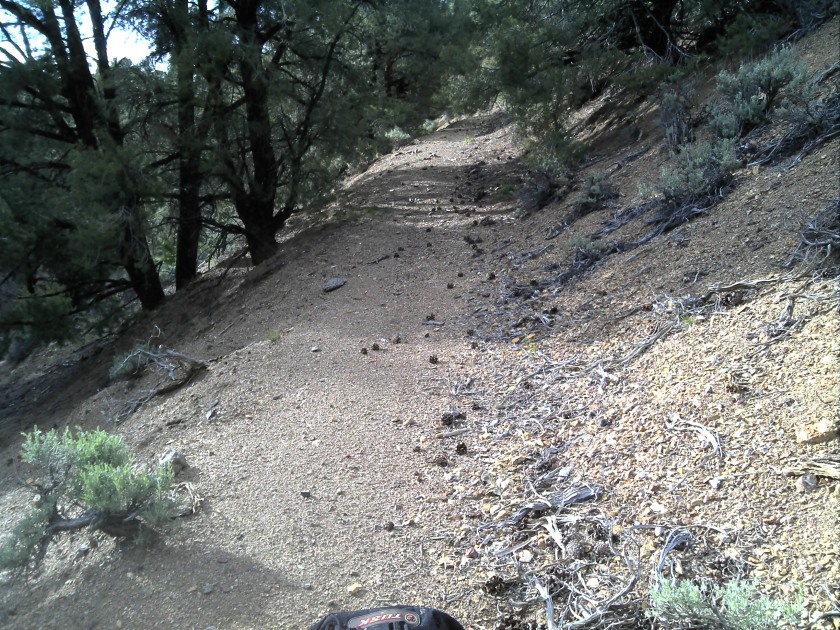
Section II: Back on hwy 361 you make a left back north for about 500 feet and then head right on a nice dirt road traveling east. This next section is pretty sandy in spots. You travel through lots of sand washes before finally getting back onto some dirt roads.
Exiting hwy 361 onto a nice dirt road.
This is where adventure bikes might struggle a bit due to the low speeds and heavy weight of the bikes. 4×4’s might struggle as well, the sand is quite deep in areas and there are some narrow sections. Again if you are traveling this section and following our track do not ride or drive it alone. 4×4 might carry a winch for safety, carry plenty of water as well this could take some time.
Still pretty wide for 4×4’s but at this point the sand is a bit deep
Here is where the two track kind of ends and you kind of look for the best line possible
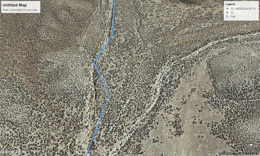
Back on a dirt road but the track takes a sharp left here, most of us missed this turn. If you are in a 4×4 this is a bit tricky and you can skip around this area if you continue down main road and catch back onto the main route.
We did this ride in June so there was plenty of green foliage and anytime you do a ride or drive in the summer time be aware of changeable weather.
Small mound there out in the middle of nothing, mining related I’m sure
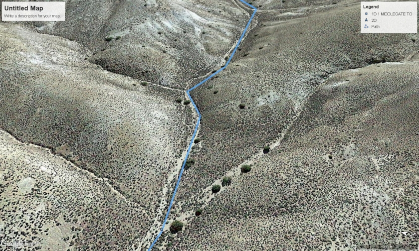
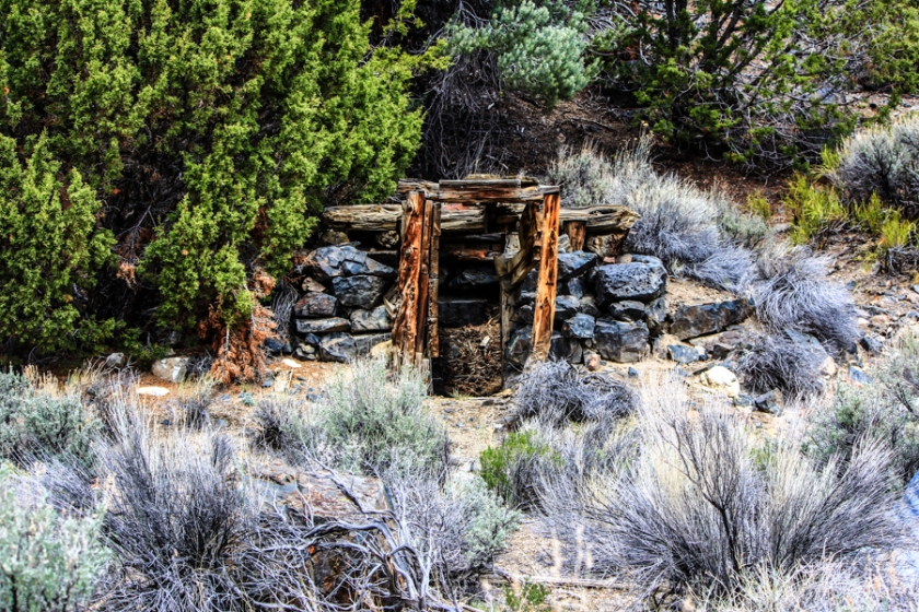
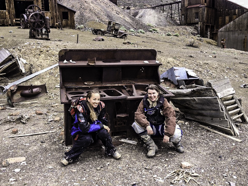
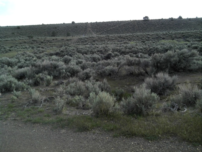
Once you get through the tight sand washes the route opens up and onto more dirt roads. There are a few sections where it becomes two track or double track making it a bit sketchy for 4×4’s but one can easily modify the route around those areas. As you enter the road sections of this area you can see via a good map that there are many wells in the area. probably due to either ranching or gold and silver mines in the area at one time. If you have the time you can poke around the area there is a lot of history it is just scattered about.
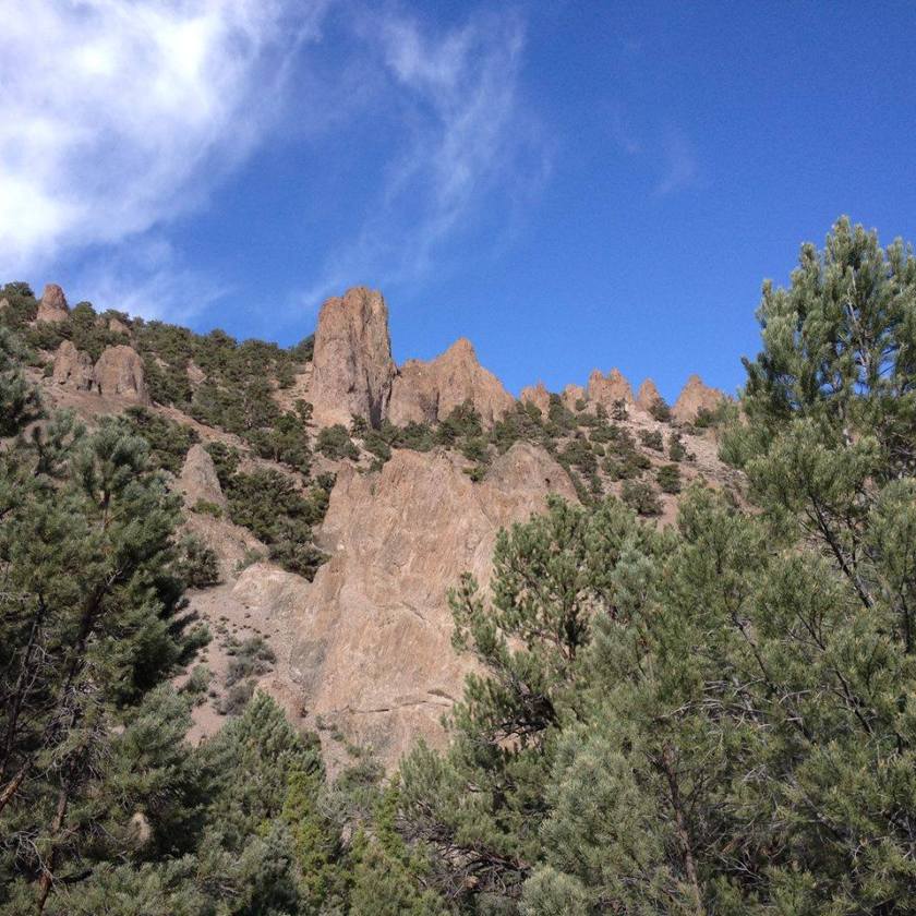
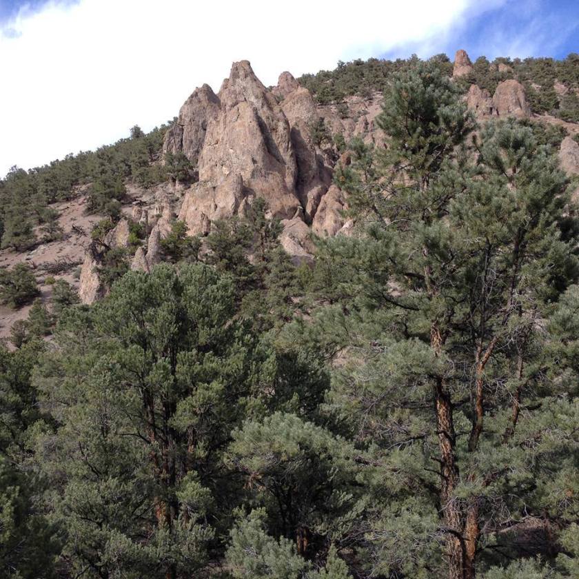
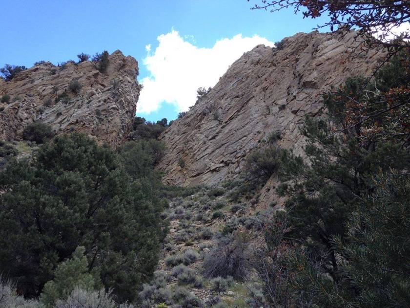
From here these cliffs do not look average height, not too tall.
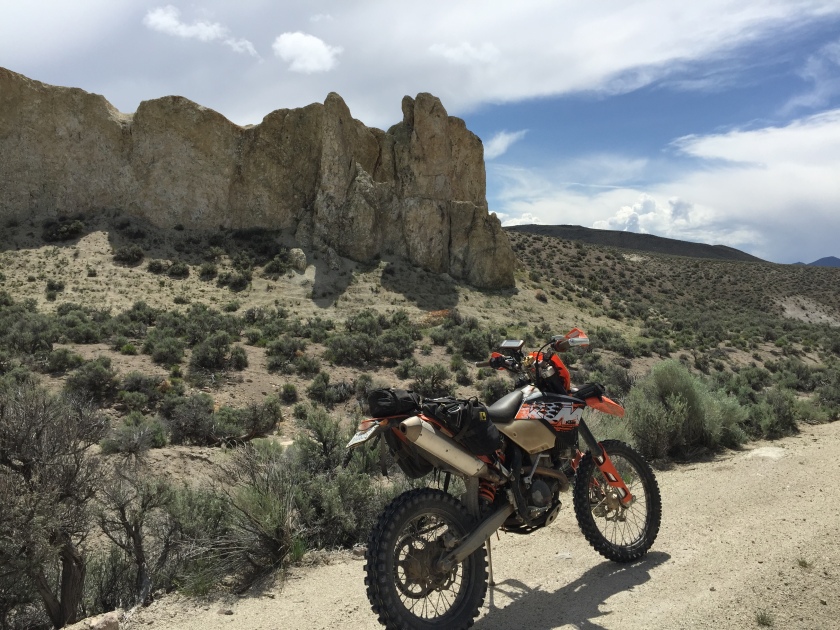
But as you can see, my friend Doug gets a closer look at those cliffs they are much bigger than they look.
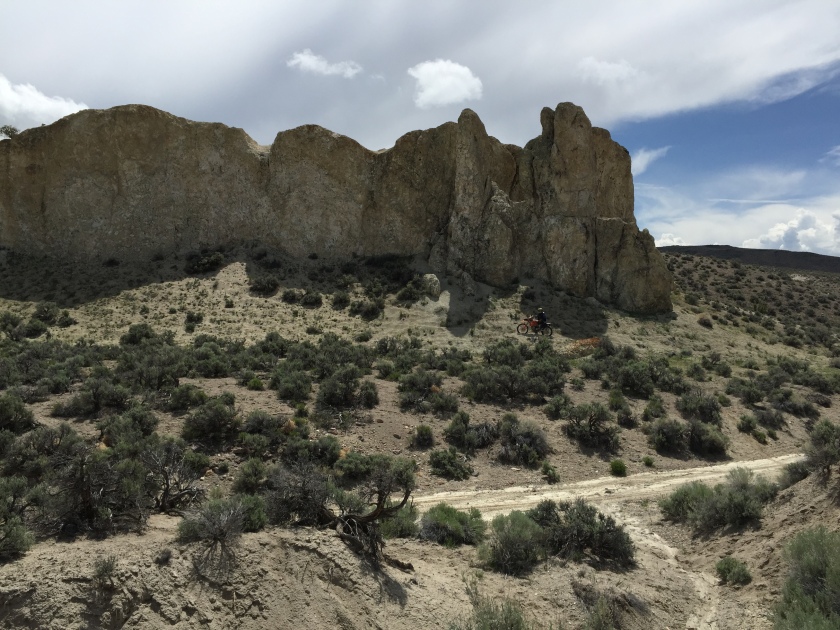
Two track is abundant in the area making for modifying your route fairly easy
This section finally dumps off onto state hwy 844 which runs from east to west. Right turn onto hwy 844 for about .25 of a mile and it T’s off onto hwy 361, left turn and head south towards Gabbs Nevada.
Gabbs Nevada is on the right-hand side of hwy 361 and is your one stop shop for gas food and lodging in this very small town. Here in Gabbs we ended up eating lunch and getting gas, our original plan was to eat lunch at Berlin but the sand washes ended up slowing our progress so we decided to take a break here.
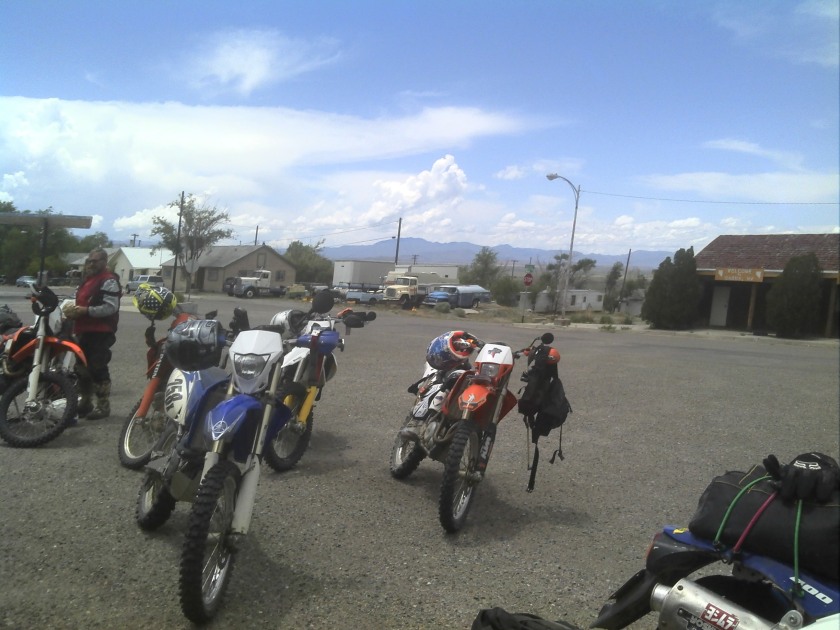
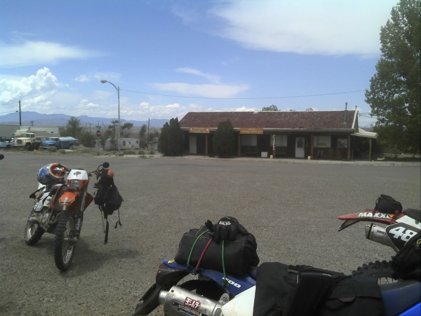
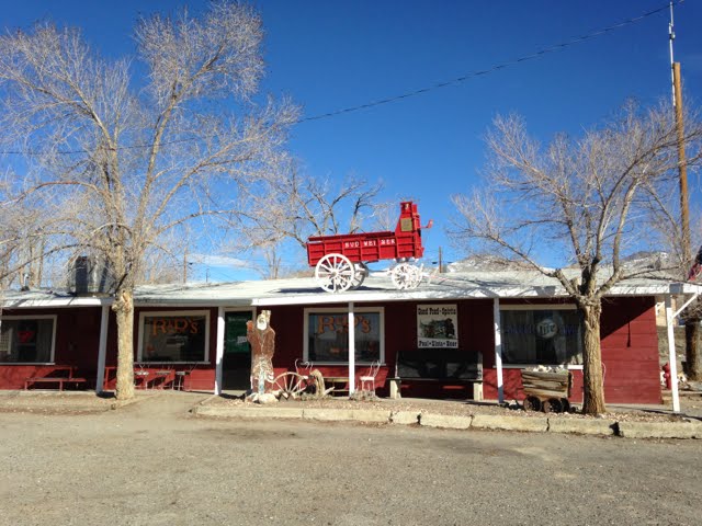
Gabbs as a town is not much, they basically have a grocery store, motel, a bar and grill ” R & D”, a café ” R & H Cafe” and gas pumps. I believe the town is fueled by the Goldmine still in operation and Berlin state park. For the most part, Gabbs has everything you need for a quick stop for refueling and supplies and is well worth stopping by for a visit.
Section III: This next section is easily open to dual sport, adventure bikes and 4×4’s. All high clearance but the roads can easily be done without any real issues except adventure bikes and 4×4’s might take the alternate track near Ellsworth. Because we were kind of running behind time our group took all the easy alternates to the Berlin – Ichthyosaur state park. The weather changed on us as well and as we left Ellsworth it rained on us for about 20 miles.
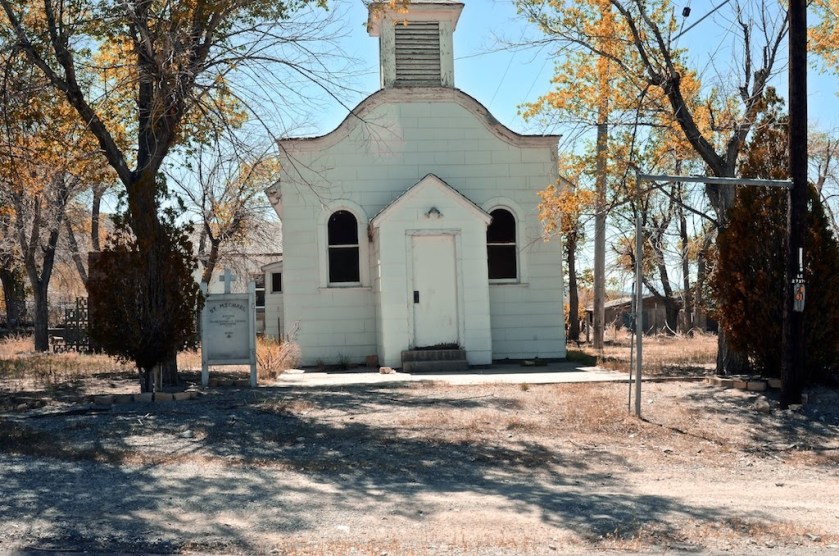
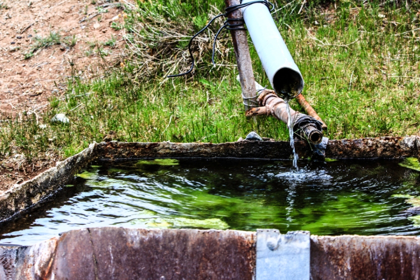
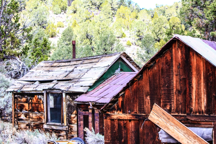
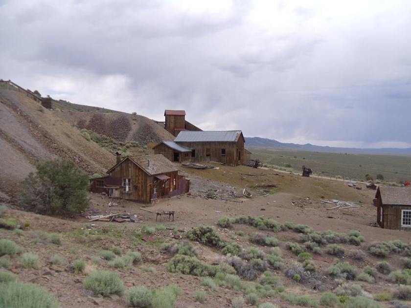
Ellsworth is a ghost town, established in the 1860’s and the few building that are still there it is obvious that the city was occupied up to maybe 60 years ago. The town is interesting, to say the least; it has a nice little spring coming out of the ground that feeds the area. There are a few gravestones out and about.
Ellsworth a nice little stop on your trip
Spring water fresh from the underground
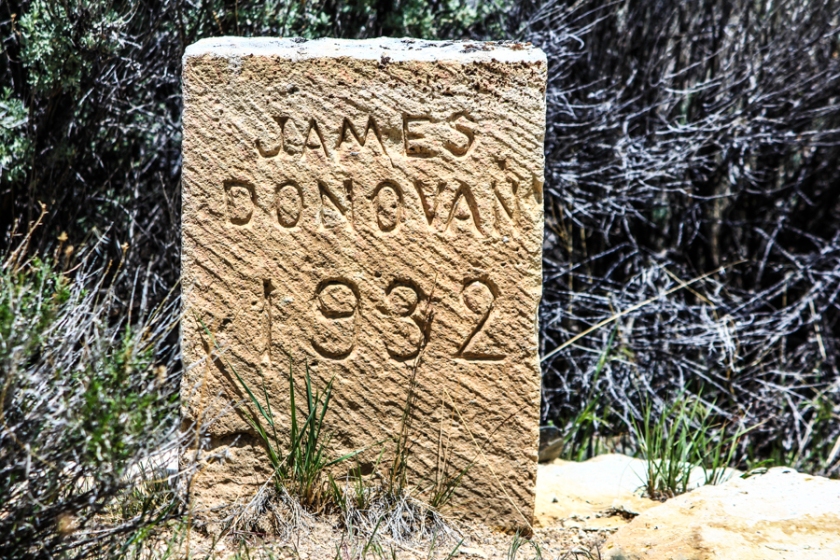
Few of these gravestones around, you kind of have to hunt around, just be careful there are mines in the area
Leaving Ellsworth from the north
Leaving Ellsworth we traveled on some fairly easy dirt roads that went for miles in a straight line eventually T’ing off on the main dirt road that looked to be heavily used probably even plowed at times.
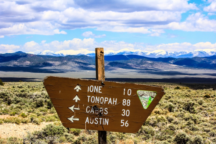
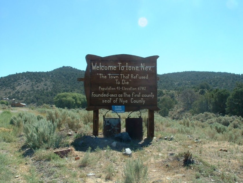
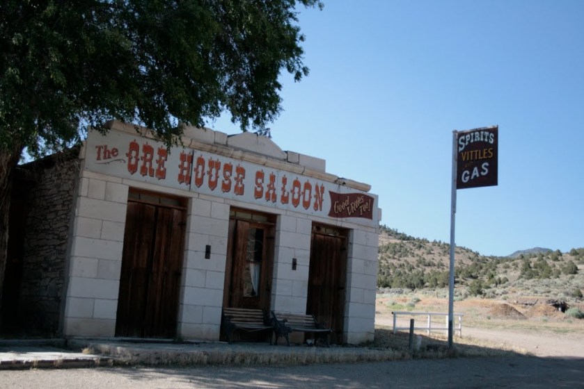
Turning to the right we now headed towards Ione a small ghost town that still functions to a small degree. Although we did not visit this town I have in the past driven through it. I believe it has a small bar and maybe even a tiny motel there. Probably a bit livelier in the summer vacation times but people still live out there and it is worth your time to take a
Probably a bit livelier in the summer vacation times but people still live out there and it is worth your time to take a look see. The main track, routes around the town or you can take the alternate and enter from the south.
I believe this saloon is still active
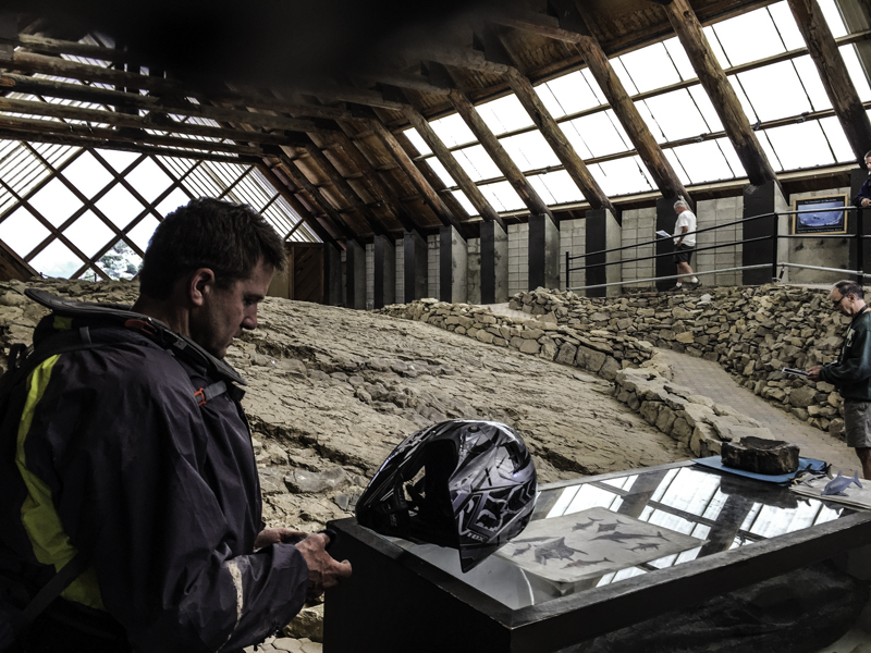
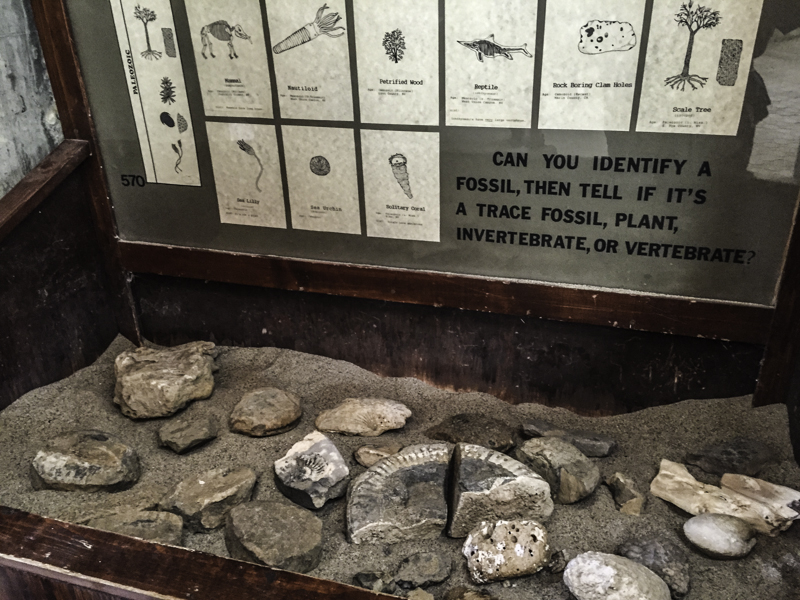
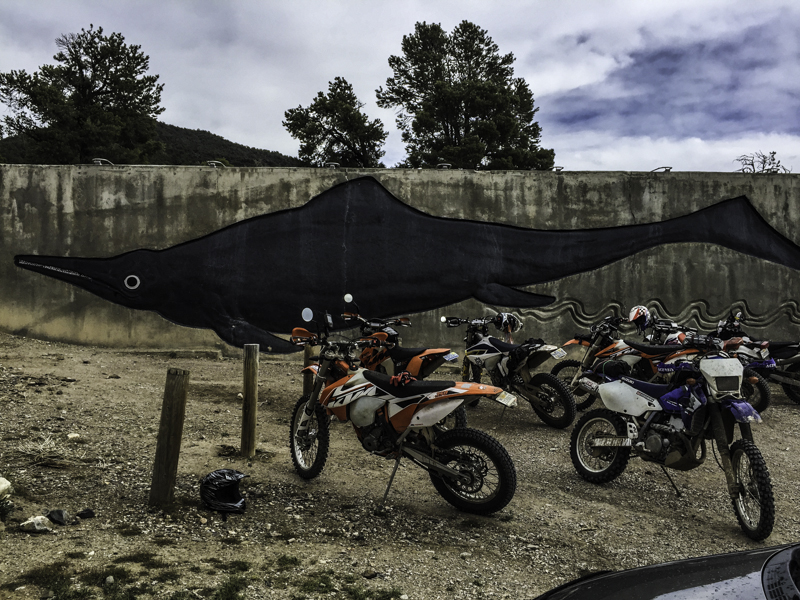
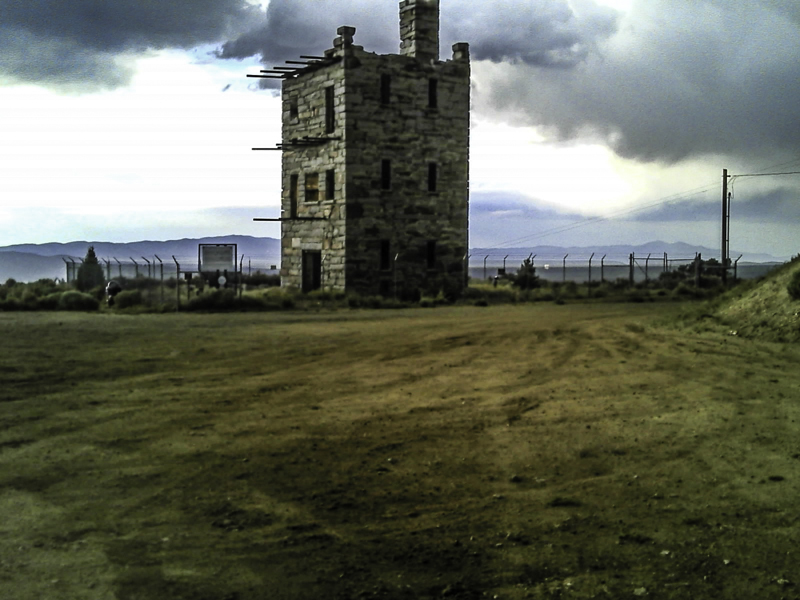
Turning right onto hwy 844 he headed towards Berlin – Ichthyosaur state park, pretty good signs following to this park, this is a jewel of Nevada and a park that is worth the time to spend a day here is not more. Very inexpensive to enter the park, I believe it is $2.00 per motorcycle and $5 or 7 for cars. There are campsites as well, interpretive centers around the park. Berlin is an old ghost town and Ichthyosaur is a prehistoric giant fish or fishes that were found on the site you view them.
Inside the Ichthyosaur site
Section IV: Leaving Berlin – Ichthyosaur state park we continued on a back road that exited the park on the west side. For the most part, any dual sport, adventure bike, and 4×4 can ride or drive this road. A bit rocky in sections but the road is remote, scenic and fun to do.
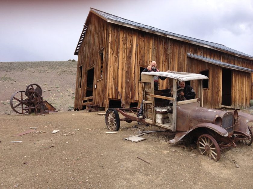
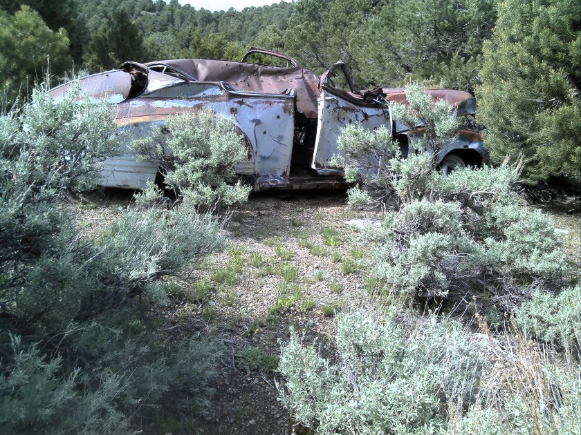
Old Nash out here between Berlin and Reese River
This back road empties you on to state road 20, we turned left and headed north through Reese a small Indian community along the Reese River. No services just a small community and a school.
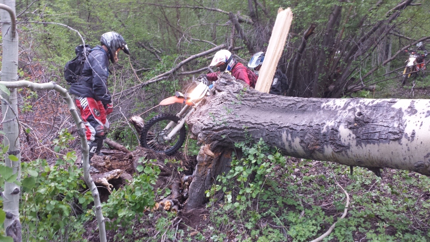
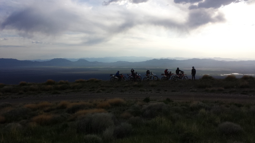
A few miles past Reese a small group of our riders looking for a bit more challenging riding attempted one of the technical routes. We were never sure exactly what this route would be like, it did climb up to 7900 feet elevation and ran into a few downed trees. Our riders were able to get around the few trees but the report was this was a very fun and technical section. I would not recommend adventure bikes or 4×4’s in this section. A pretty steep hill down and some pretty tight woods due to downed trees. Of course, if 4×4’s wanted to drive through this section and clean things up a bit feel free.
Technical alternate route climbed up to about 7900 feet
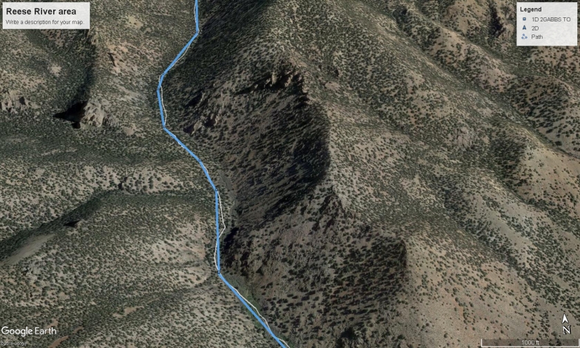
Few sections like this made for some fun tight woods riding, trust me, these guys love this kind of stuff
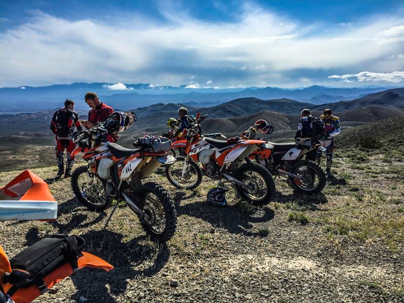
View from the top of the mountain
The second group continued on the main route, it did take us very near a ranch, a bit too close so we felt best to get back onto the main road and ride around the ranch. The 1st group of riders who were behind us either didn’t see the ranch to be an issue or cut north before they came to it because when asked about what they did nobody seems to think it was an issue. After Reese River, I would advise 4×4 rigs to stay on the main road into Austin. Some of the sections once you cross the river get pretty tight into
After Reese River, I would advise 4×4 rigs to stay on the main road into Austin. Some of the sections once you cross the river get pretty tight into single track. If you have the time explore the area, get a good map and you can modify our route to fit your needs.
Crossing the Reese River
Some single track here that was a bit tight
Because time was getting late we opted to take a few of the bailouts and enter Austin Nevada before it got too late. Good thing because Austin pretty much closes down after 6 PM. This is very perplexing considering Austin is really a great little town that offers so much. Austin offers, dual
Austin offers, dual sport riding, adventure riding, horseback riding, 4×4’ing, scenic drives, hiking, gold exploring, rock hounding, mountain biking and road biking, lots to do in this small town yet not much happens here from day to day.
Both restaurants close after 6 PM mind you both eateries are very good and serve good food, the two mini mart gas station are the really the only businesses that stay open after 8 PM. Most of the motel kinds of shut down as well since all their owners live on site they tend to kind of get ready for late travelers by leaving the keys out.
With all that said this is a great little town to visit and explore, it’s a perfect overnight stop for your dual sport, adventure ride or 4×4 exploring and with that we will stop here for the time being and finish the next two days on the next two travel blogs.
