February 9, 2023
Kofa Wildlife Refuge, AZ
I’ve always been intrigued by backroads in remote places. So Cibola Road, off US-95 south of Quartzsite, AZ, which seemingly leads right into Yuma Proving Ground, caught my attention.

I’ve been into tracking weather balloons lately, and sometimess finding the small radiosonde weather instrument that these balloons carry. They are launched from fixed sites all over the world every twelve hours every day of the year. Chasing and retrieving them is pointless, but fun.
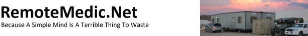
Last year I became intrigued by the fact that the Army’s Yuma Proving Ground would sometimes launch a dozen or more per day. The info on SondeHub Tracker seemed to show they all came from the main part of the base, but some scrutiny indicated at least four launch sites. I was able to pin down two more on top of main post, but the fourth was elusive.
It seemed to come from an airfield on the Army’s Cibola Range, part of YPG. The view from Google Earth seemed to match a description I found of the North Yuma UAV Airfield. But I could find no name for it on any map. None. Not Google Maps, Apple Maps, Open Street Map, or any topo map (current or historical). My go-to people for weird shit in the desert are Tom Mahood and Jack Freer, but they couldn’t find anything on it, either. When Tom and Jack are stumped, something’s up. It sits just over three miles west of US-95 on Cibola Road and it seemed as if you might just be able to drive to it, even though on an Army post.
The YPG North AAF is defunct and one of over a dozen defunct AAFs in SW Arizona most of which are completely gone and identifiable only from the air.
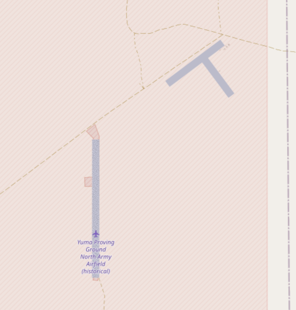
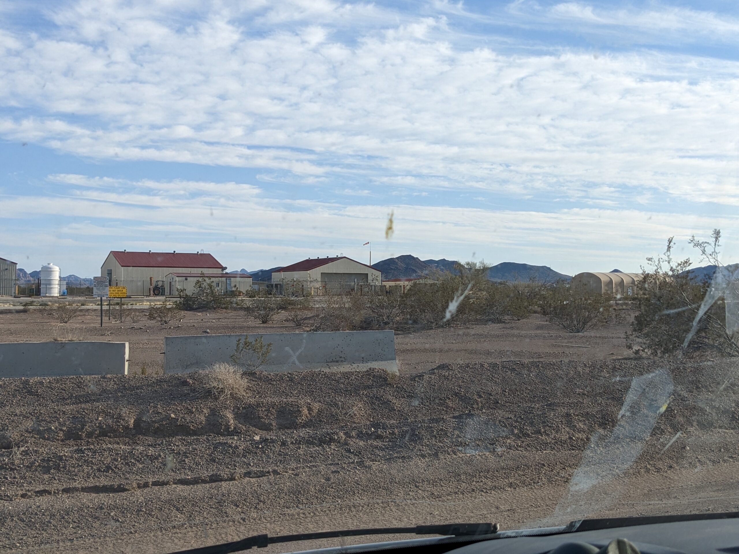
The airfield to the NE, however, is very modern and well-maintained. And apparently you could drive right onto an Army post and pass right by it.
The idea that a civilian could drive onto an Army range area right up to a secret(ive) UAV airfield just didn’t make sense to this retired Army brain. I became seriously interested in that road.
Some web searching turned up the fact that some areas of Cibola Range that are occasionally open for hunting, but the official info from YPG made it sound very restricted. Hunting license, pre-approval, near constant contact with Range Control, etc. Finally I found an old blog post which claimed Cibola Road is a public easement through YPG connecting to Cibola National Wildlife Refuge south of Blythe, but the info was seven years old.
Nothing to do but give it a go. And here, for public use, is what I found.
Twenty-two miles south of Quartzsite on US-95 is a large sign saying you can drive through YPG to Cibola NWR.

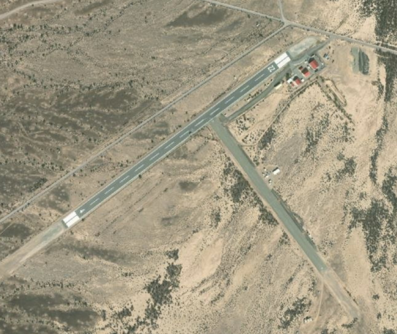
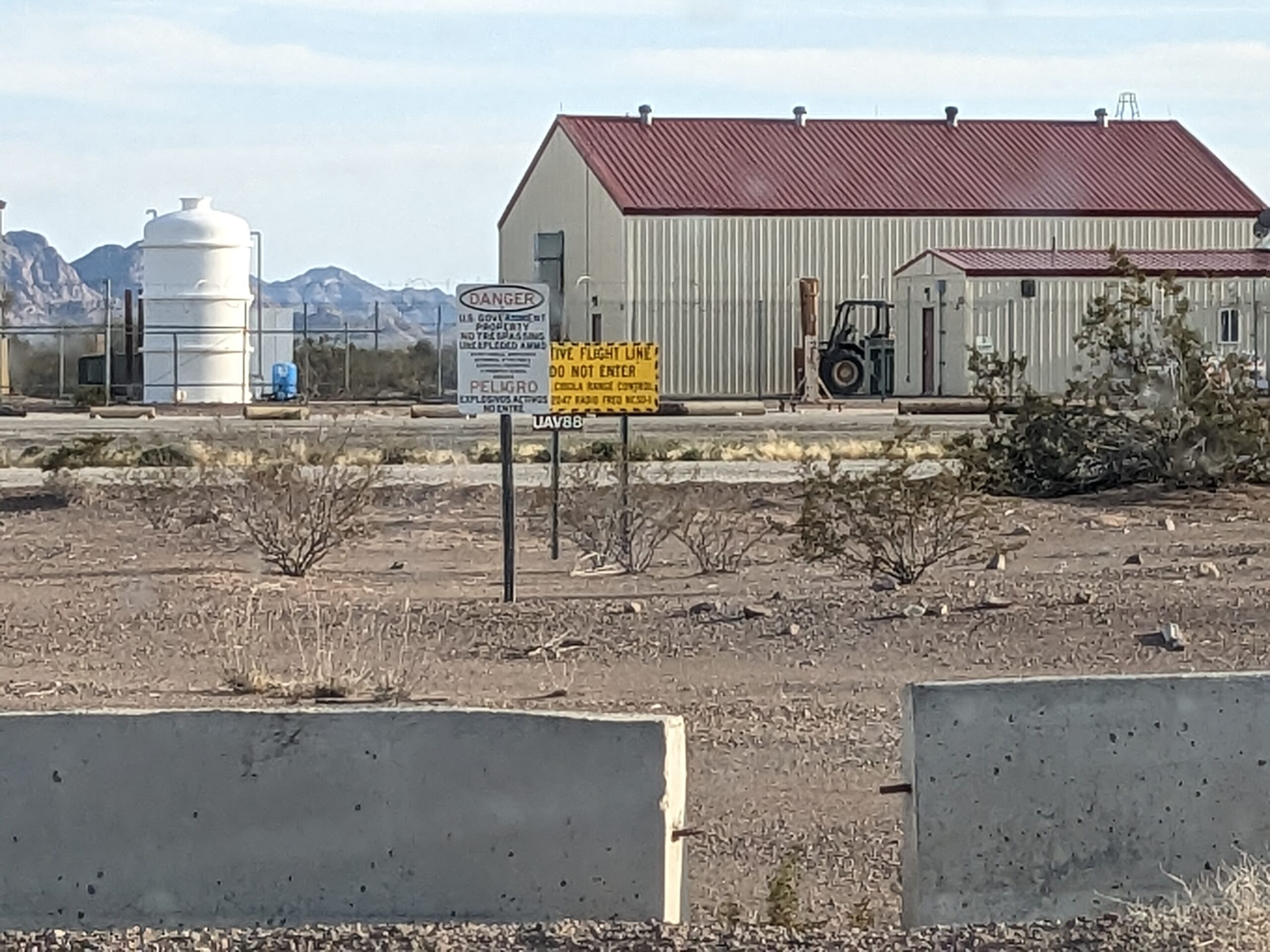
As soon as you make the turn, you are on washboard dirt, facing all form of warning signs (everything except Restrict Area).

The top five are drop zones, and Sites 16 and 18 are JERC (Joint Experimental Range Complex) sites.
Three miles later you see the airfield immediately on your left and more warning signs.

On the drive in I met another vehicle that stopped and I chatted with a civilian Army employee who confirmed the road was accessible, if somewhat rough, all the way through. He offered that they do fly UAVs off the airfield, but would not say if they launched weather balloons there. He said that driving this road would have been out of the question the previous week, as they were doing B-52 bombing runs in the area.
So I called Range Control, explained where I was and what I wanted to do. A friendly guy thanked me for calling, said I was fine to proceed, and requested that I call again when I completed the drive. He did not ask for my name, license number, or anything else.
The road was pretty nice grated gravel with a lot of washboard for another seven miles or so, then became less well maintained.
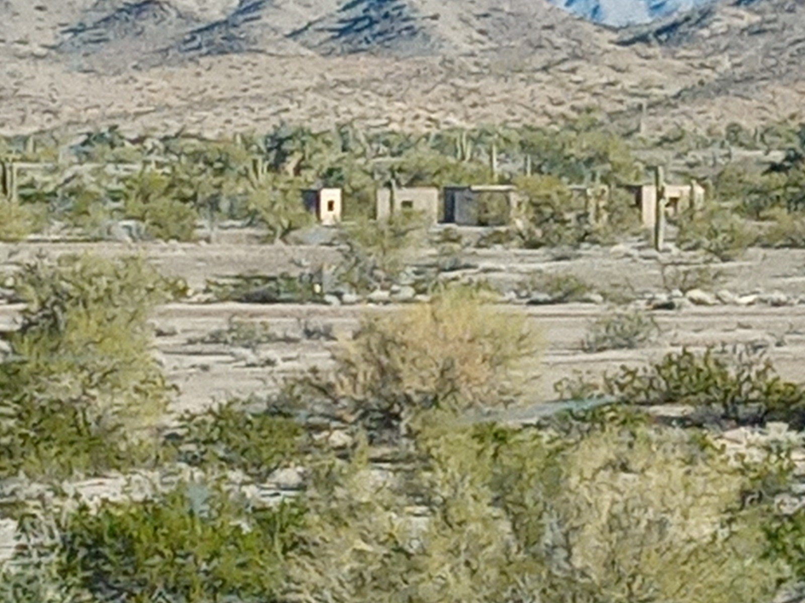
Some areas that looked like ranges for urban warfare or desert deployments.

An ocassional random privy.

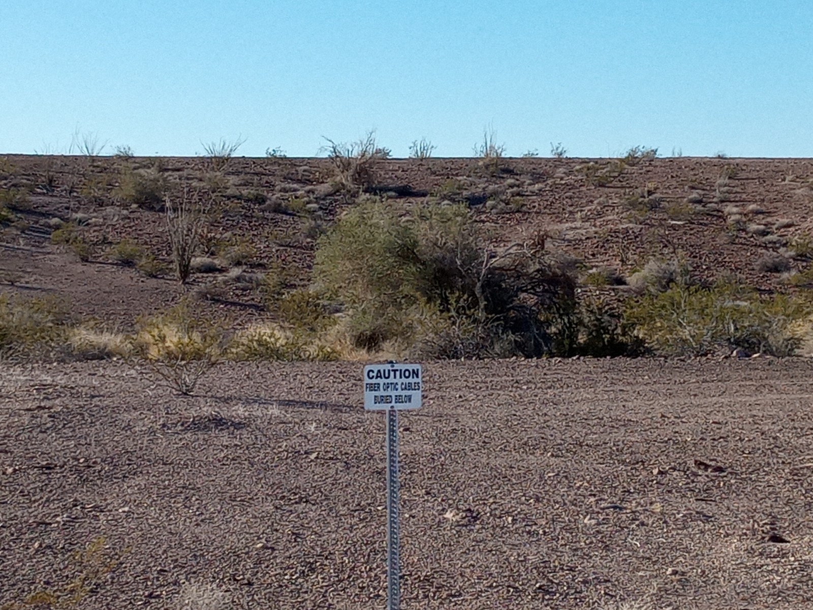
And miles and miles of warning signs about buried fiber optic cables.
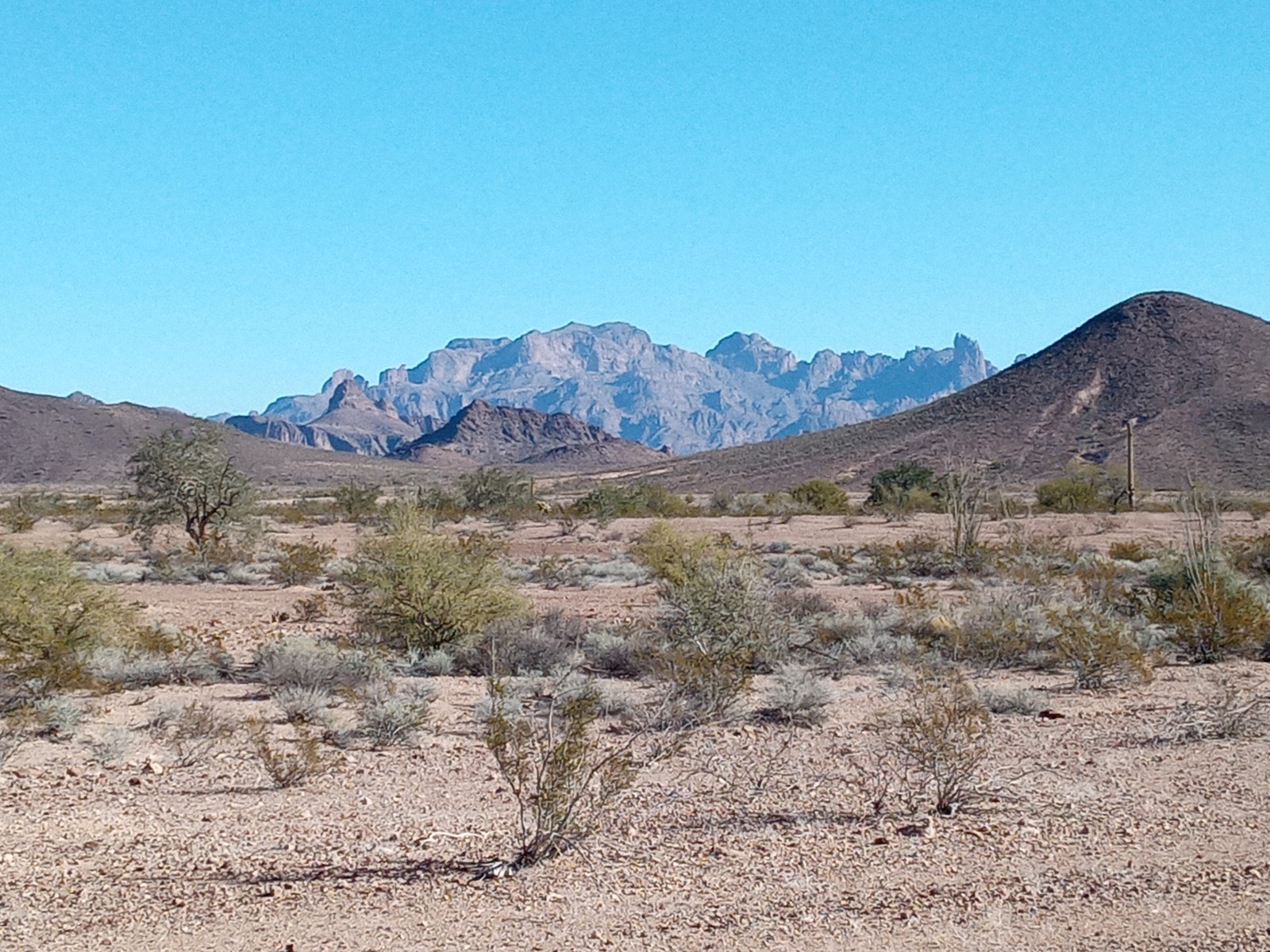
As well as some beautiful desert vistas.
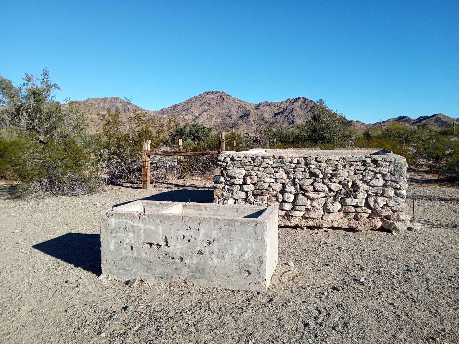
Even some signs of previous cattle grazing.
At about twenty miles, you come to a fork in the road.

I chose left as I wanted to head to Cibola NWR. It was relatively easy going from there to the small town of Cobila. The NWR office is a couple of miles south on the first paved road you hit.
So, yes, you can transition YPG on Cibola Road, seeing a low-key UAV airfield along the way, and do so legally.
Recommendations:
This was not a technical road. No steep hills, off-camber sections, deep ruts, or need for serious route choosing or spotting. That said, it was heavily washboard. Nearly 95% could be driven by a 2WD vehicle with off-road tires. There were several short sections of soft sand that I personally would not attempt in 2WD. I hit them in 4WD with some speed and barely made it through, though I was in a somewhat heavy van. There was excellent Verizon coverage throughout.
It seems that some people drive it without checking with Range Control, though I don’t know why you wouldn’t. It was painless to do so and this just might keep you from being bombed by B-52s.