Chambers, Arizona Overview
Chambers, Arizona includes 34 nearby mines. Chambers is an unincorporated community in Apache County Arizona United States. Chambers is located at the junction of Interstate 40 and U.S. Route 191 45 miles (72 km) northeast of Holbrook. Chambers has a post office with ZIP code 86502.Chambers was founded by Charles Chambers sometime before the railroad arrived in 1881. The name was changed to Halloysite for a period in honor of clay that was mined nearby but changed back to Chambers on June 1 1930.
Quick Facts
- Located in Apache County, Arizona.
- Chambers, Arizona sits 1,754 meters (5,754.6 feet) above sea level feet above sea level.
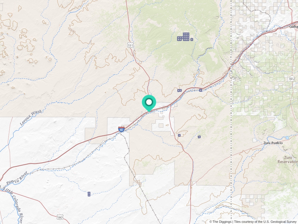
Chambers, Arizona Mine Locations
Click to open an interactive map.
© The Diggings™
Mining Claim News From The Diggings™
Learn more about the Bureau of Land Management, Public Land Survey System, and mining claims.
-

Understanding Claim Ownership
We receive lots of emails from people who find their name or a relative’s name on our site and want to know if this means they have some right to the land listed under that name.
-
Understanding BLM Administrative Areas
Whether it is filing a mine or researching one, the administering BLM office is going to be the definitive source.
-
Understanding Location Data
Mine handled by the Bureau of Land Management are not mapped by latitude and longitude, instead, these mines harken back to the Public Land Survey System.
-
Understanding Townships
A “township” can refer to two different things. Both are part of the PLSS measurement system but have different uses.