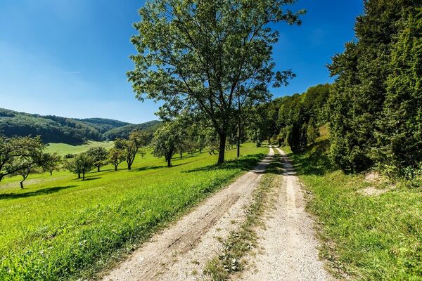
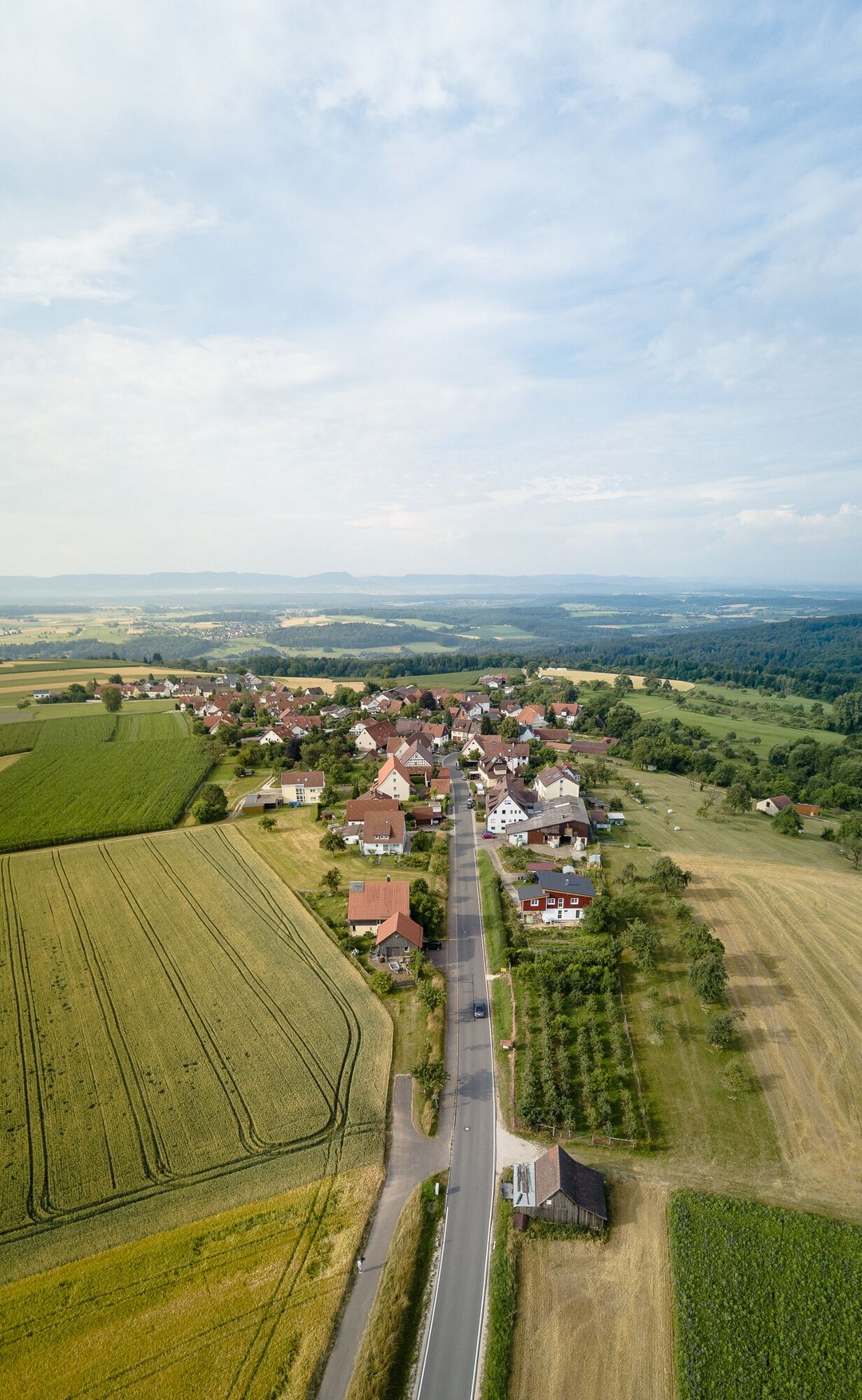
© Stadt Ebersbach an der Fils

© Stadt Ebersbach an der Fils

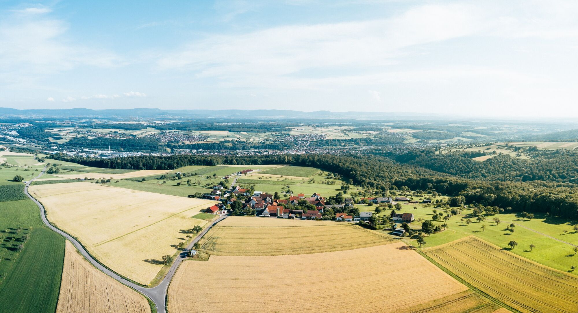
© Landkreis Göppingen - Magdalena Dursch

© Landkreis Göppingen - Magdalena Dursch
- Brief description
-
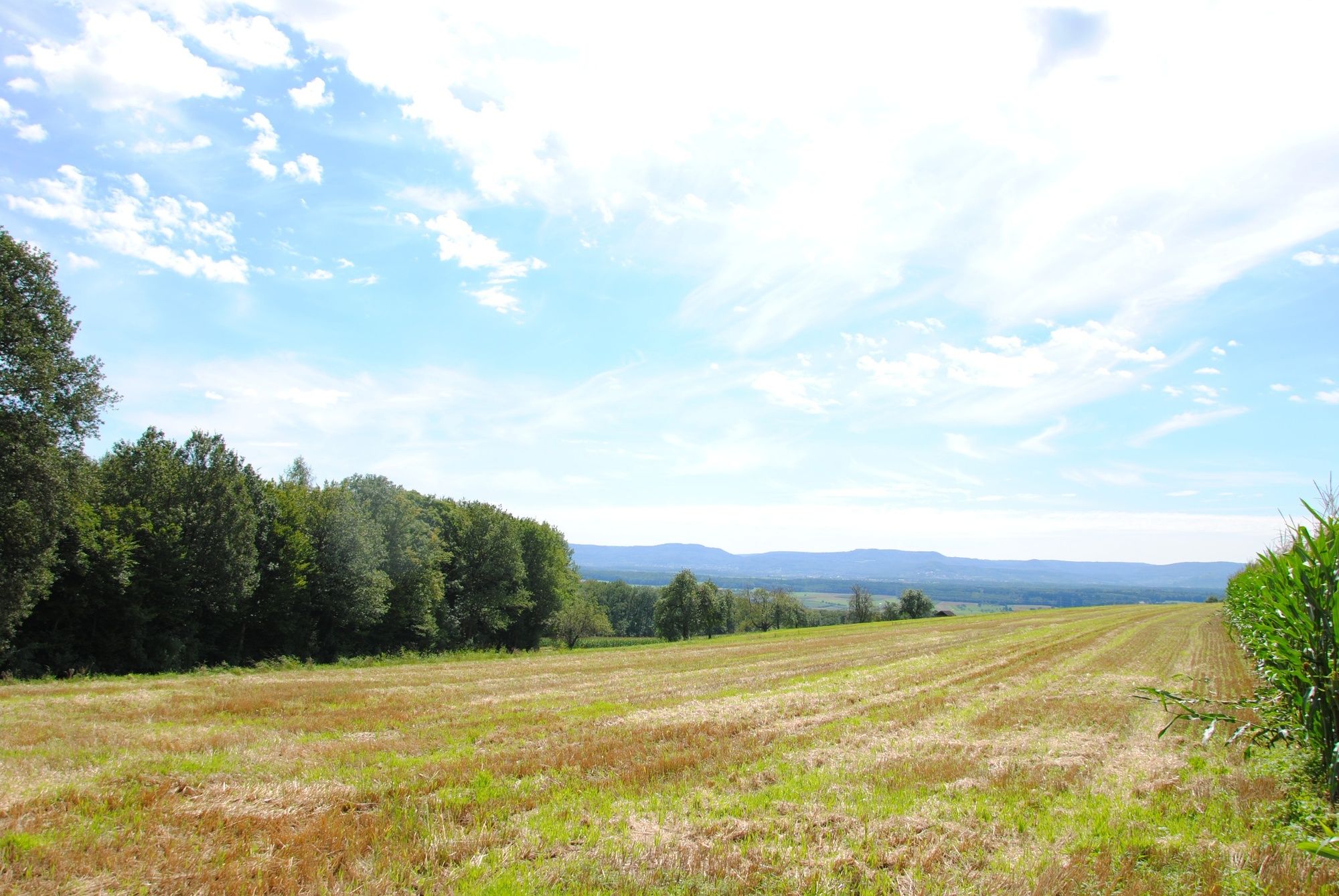
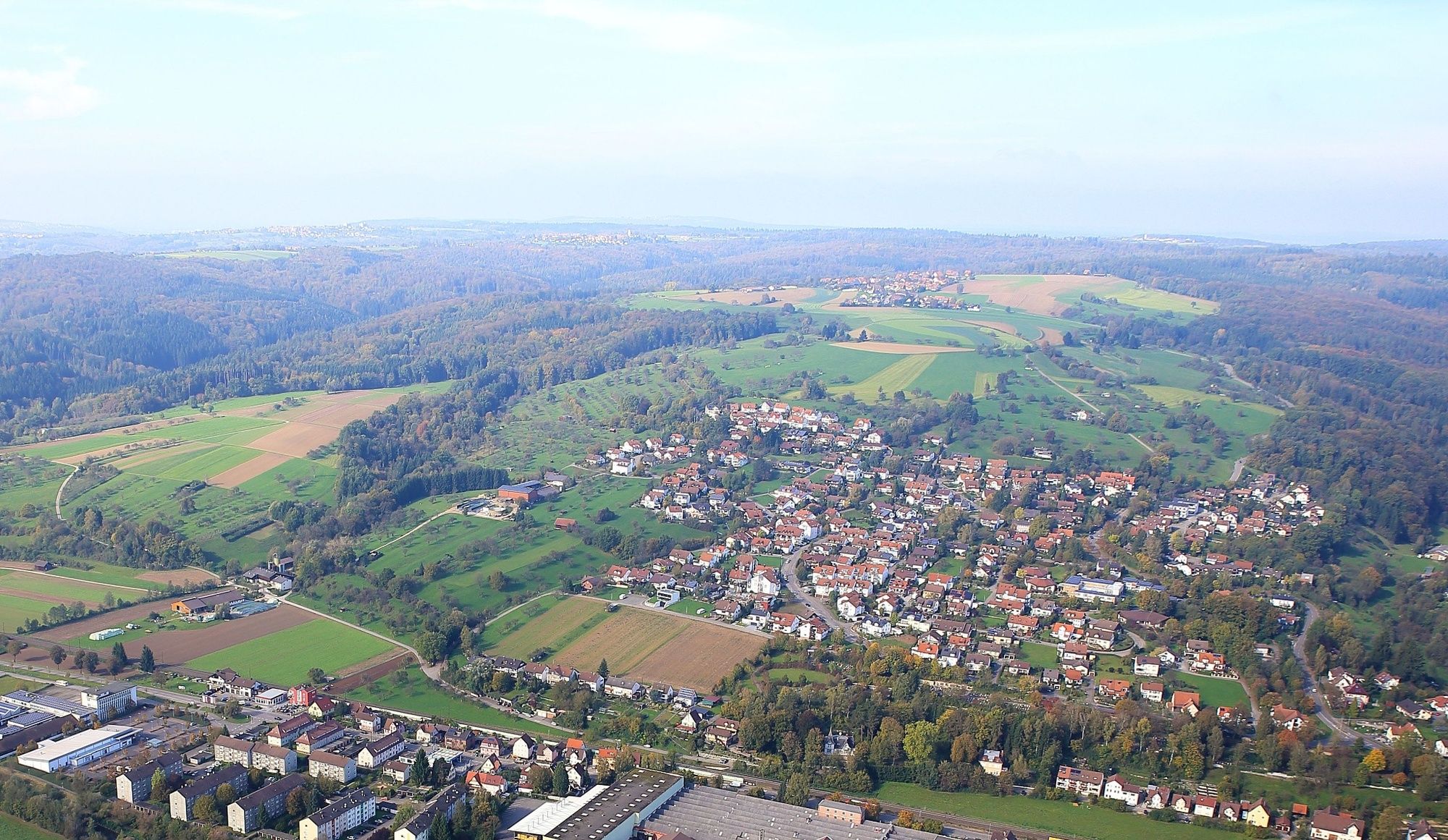
Ebersbach – zwischen Schurwald, Fils und Alb.
- Difficulty
-
medium
- Rating
-
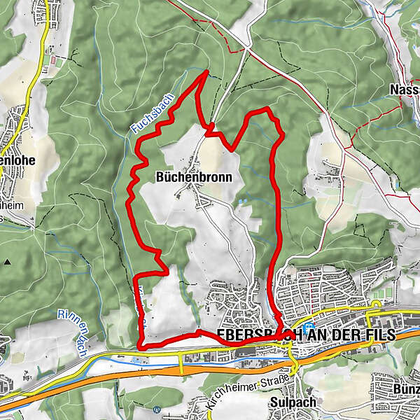
- Route
-
Ebersbach an der FilsVeitskirche11.8 kmEbersbach an der Fils12.0 km
- Best season
-
JanFebMarAprMayJunJulAugSepOctNovDec
- Highest point
- 462 m
- Endpoint
-
Kirchheimer Straße, Ebersbach
- Height profile
-
 © outdooractive.com
- Author
-
The tour In den Schurwald is used by outdooractive.com provided.
GPS Downloads


General info
Refreshment stop
Cultural/Historical
A lot of view
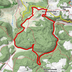
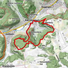
Other tours in the regions
-
Schwäbische Alb
1215
-
Schorndorf
146