The path to the chapels in the municipality of Vaz/Obervaz - Variant 1


- Brief description
-
With the settlement of the west side of Lenzerheide, intimate places of worship were donated by individual families and believers.
- Starting point
-
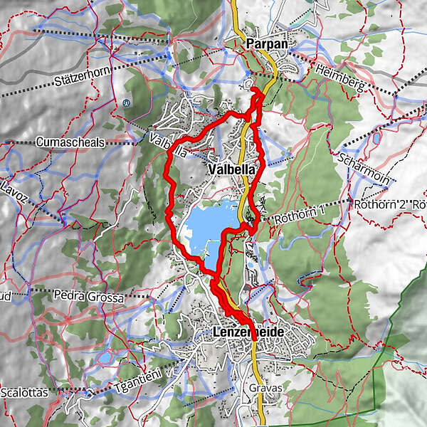
Post Lenzerheide
- Route
-
Lenzerheide (1,476 m)0.0 kmLido1.5 kmValbella (1,535 m)6.4 kmLenzerheide (1,476 m)9.1 km
- Description
-
They stand in places such as rocky edges, on dangerous stretches of road or in remote hamlets for protection against misfortune and danger. They bear witness to the gratitude and contemplation of the local population. There are no chapels on the eastern side of the Lenzerheide holiday region or in the municipality of Vaz/Obervaz, because settlement started from the tribal fractions of Lain, Muldain and Zorten and large parts of the forest area belonged to the municipality of Lantsch/Lenz.
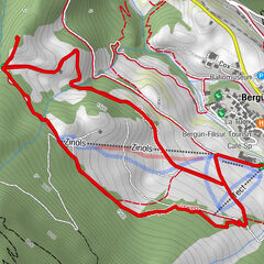
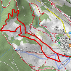
Various hikes lead past the different chapels.
- Directions
-
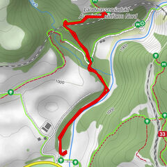
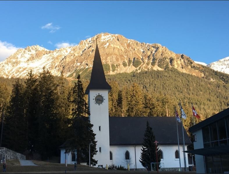
From the Lenzerheide post office, walk for about 5 minutes to the Lenzerheide Catholic Church and continue via the school building to the tennis court, where the Mariengrotte is located on a small hill opposite. It is a special kind of chapel in Lenzerheide because it was built on the initiative of the Ingebohl nun Redemta together with local young people. On 15 August, the feast of the Assumption of Mary, processions with flowers and lighted candles were held to the decorated statue of the Virgin Mary until the 1970s. The path continues along the Heidbach stream to the Heidsee lake. There you walk from the Lido on the left side of the lake to the Restaurant La Riva, along the lake road up to the hill, where the hiking trail then leads off to the left in the direction of Lieptges and Valbella/Sartons Youth Hostel. A new chapel can be found along the hiking trail in Lieptgas in honour of St. Anthony (approx. 30 minutes from the Fadail car park or 20 minutes from Valbella/Sartons Youth Hostel). The path then leads past the youth hostel, along the Sartonsstrasse down to Valbella to the Parpaner Höhe. There you immediately reach the chapel in honour of St. Francis of Assisi in Valbella Davains. The hike can then be continued via Valbella Resort, Fastatsch, Heidsee back to Lenzerheide.
- Highest point
- 1,606 m
- Endpoint
-
Post Lenzerheide
- Height profile
-
 © outdooractive.com
- Author
-
The tour The path to the chapels in the municipality of Vaz/Obervaz - Variant 1 is used by outdooractive.com provided.


-
Glarnerland
1983
-
Arosa Lenzerheide
815
-
Pradaschier / Churwalden
222