
- Brief description
-
Haven’t found a suitable Sunday hike?
- Difficulty
-
difficult
- Rating
-
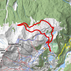
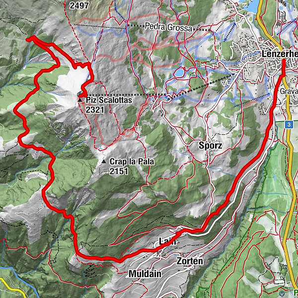
- Route
-
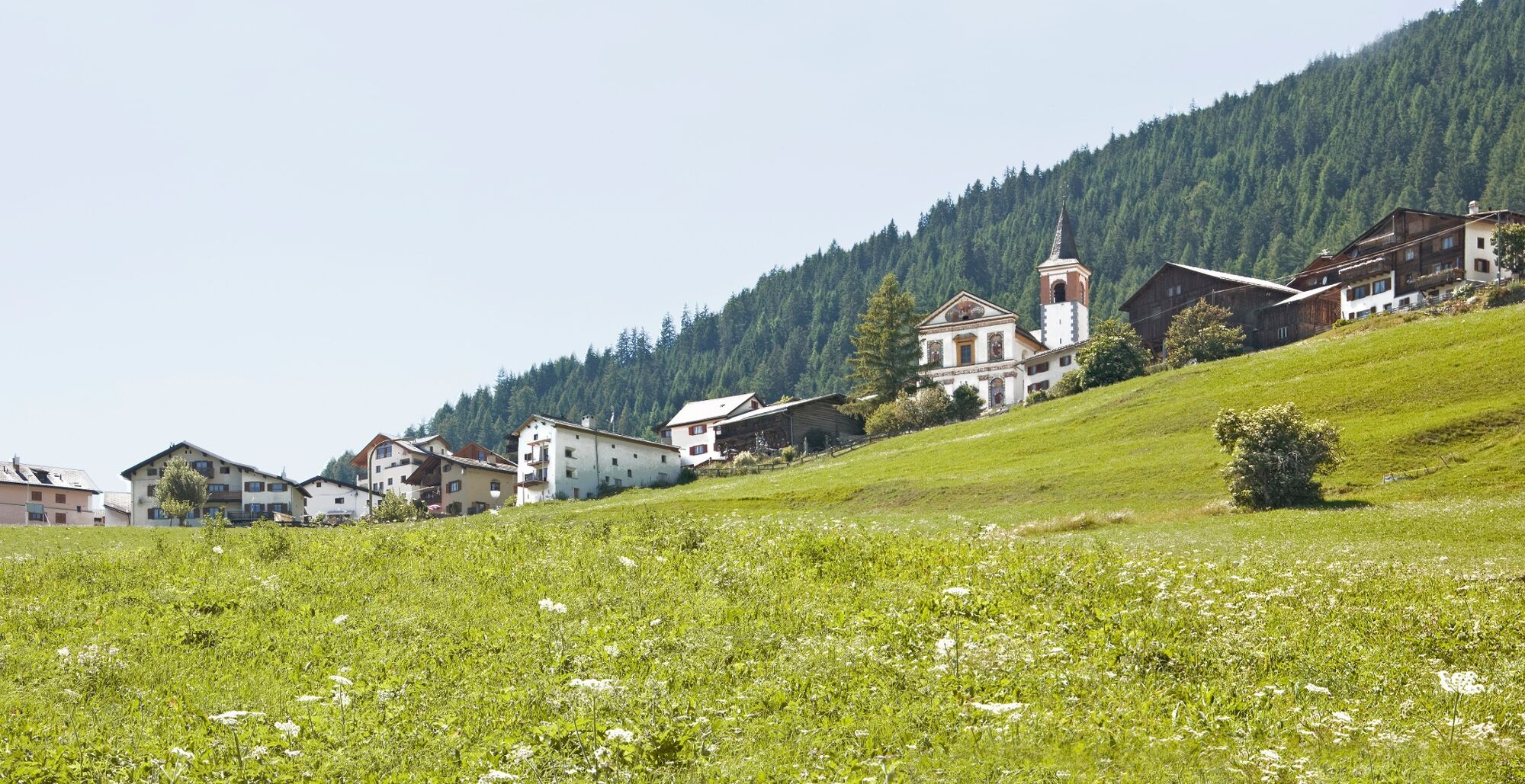
Lenzerheide (1,476 m)Lain4.4 kmMuldain5.0 kmCreusen7.4 kmJune Hütte (2,214 m)13.7 kmPiz Scalottas (2,321 m)14.3 kmScalottas (2,323 m)14.3 kmRestaurant Piz Scalottas14.3 km
- Best season
-
JanFebMarAprMayJunJulAugSepOctNovDec
- Description
-
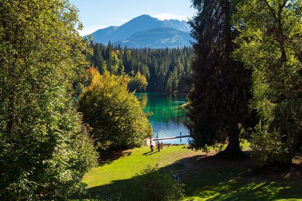
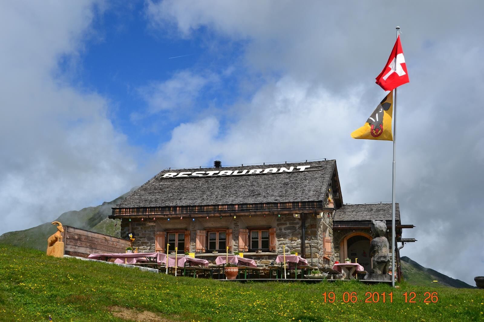
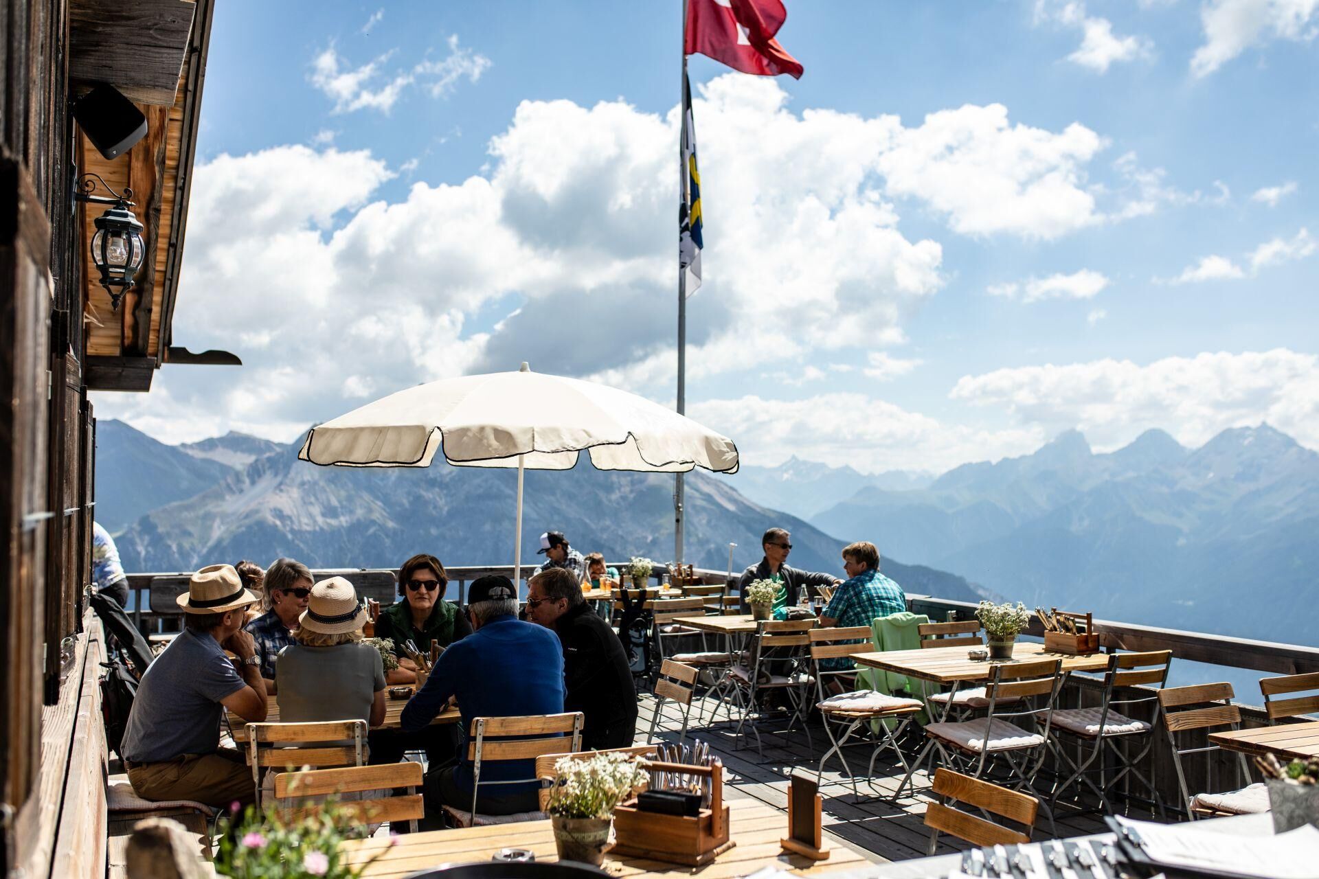
Explore the scenic hiking trail from Lenzerheide to Lain and the open-air restaurant in Creusen. The alp restaurant is about an hour away from Lain and is open on selected dates and in good weather. An information sign at the Garage Sigron in Lain or the website www.hausbaeckerei.ch informs you about the current opening hours.
On the return it is possible to use the Postauto from Lain. The sporty take the same path as they have come from in the direction of Lenzerheide. - Highest point
- 2,311 m
- Endpoint
-
Piz Scalottas
- Height profile
-
 © outdooractive.com
 - Tips
-
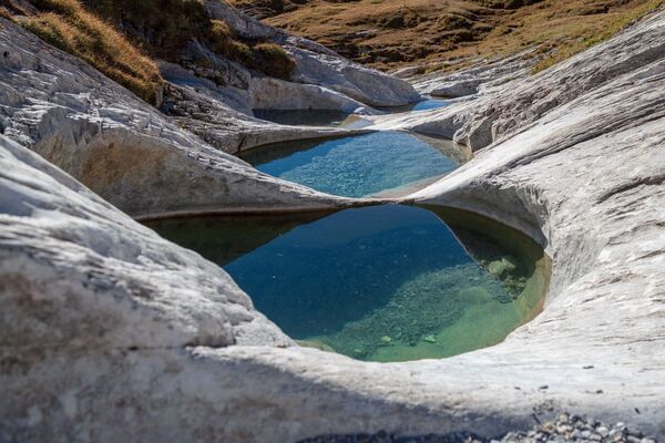
Visit the alp restaurant Creusen
- Directions
-
From Basel and Zurich - Chur-Sued (exit no. 17) - Lenzerheide or Lain.
From Milano - Lugano - San Bernadino tunnel - Thusis - Chur (exit Lenzerheide) - Lenzerheide or Lain. - Public transportation
-
If you arrive to Chur by train, you will be transferred directly to the buses of PostautoGraubuenden, which will take you to Lenzerheide (stop Post) within 30 minutes.
Those interested can take the Postauto to Lain and start the hike there. - Parking
-
Parking Clavadoiras in Lenzerheide
Parking opposite garage Sigron in Lain
- Author
-
The tour Lenzerheide - Creusen - Scalottas is used by outdooractive.com provided.


General info
-
Glarnerland
2013
-
Arosa Lenzerheide
815
-
Pradaschier / Churwalden
222