© @SeraGioFotografie - Tourismus Savognin Bivio Albula AG

© @SeraGioFotografie - Tourismus Savognin Bivio Albula AG

© @SeraGioFotografie - Tourismus Savognin Bivio Albula AG

© @SeraGioFotografie

© @SeraGioFotografie - Tourismus Savognin Bivio Albula AG

© Michael Zumsteg, Oberkulm

© @SeraGioFotografie - Tourismus Savognin Bivio Albula AG

© @SeraGioFotografie - Tourismus Savognin Bivio Albula AG

© Michael Zumsteg, Oberkulm

© Michael Zumsteg, Oberkulm

- Brief description
-
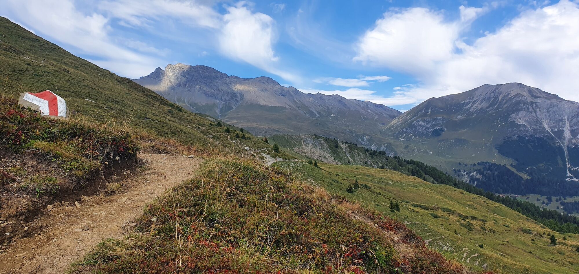
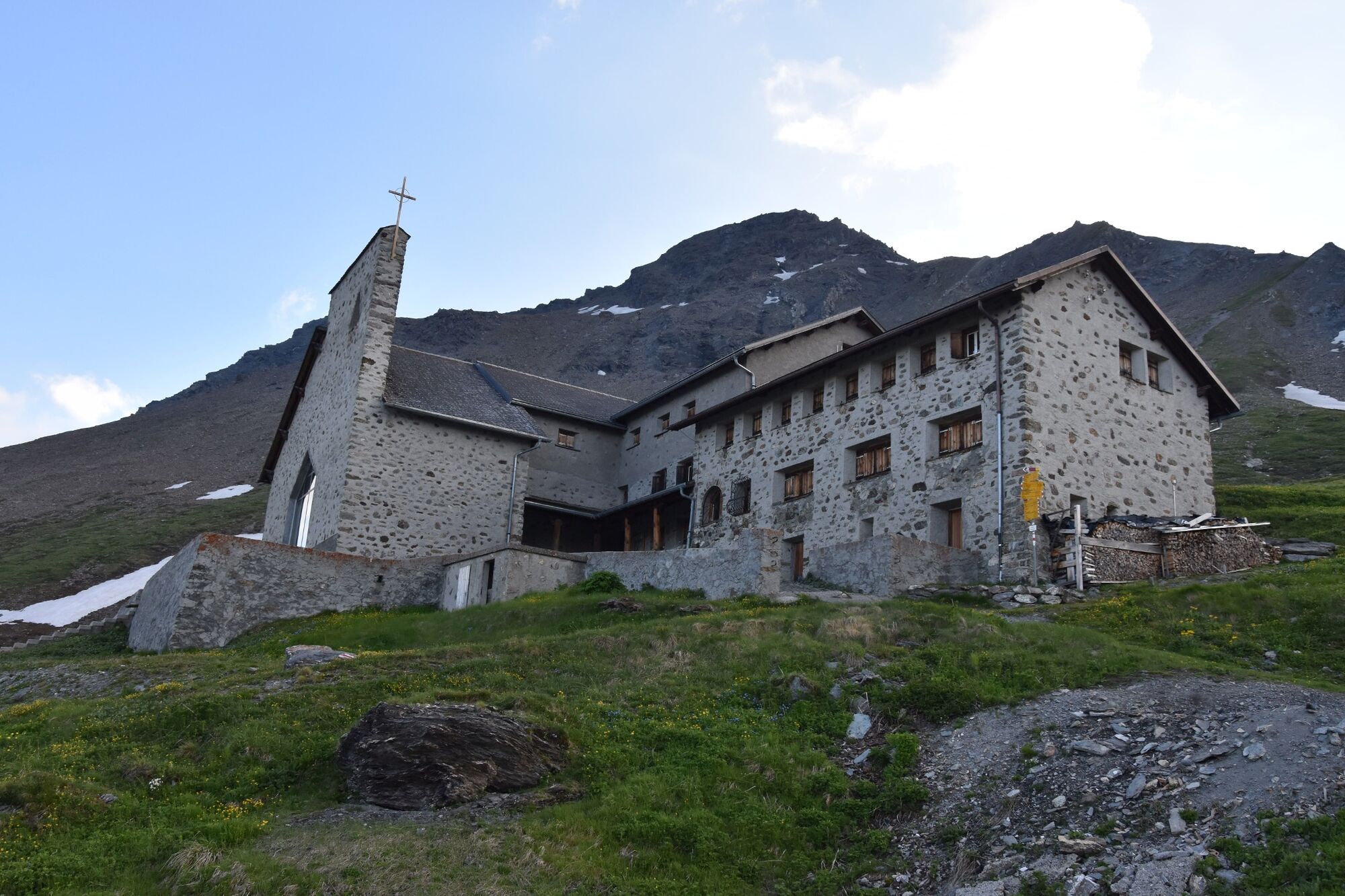
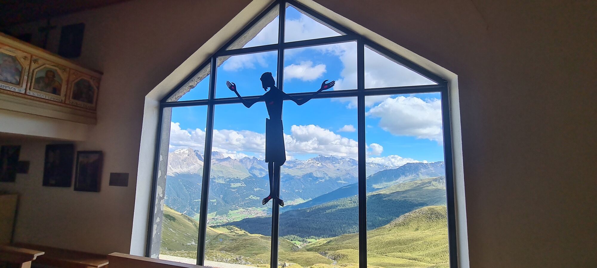
Schöne Wanderung zur höchstgelegensten Wallfahrtskirche Europas.
- Difficulty
-
difficult
- Rating
-
- Route
-
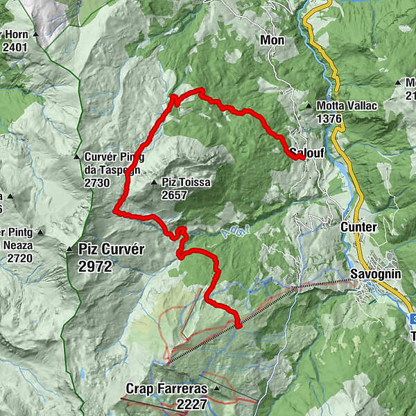
Bargung2.7 kmCre digl Lai4.6 kmSom igls Mellens5.1 kmAlp Ziteil (1,903 m)6.0 kmKirche Ziteil7.2 kmFurcletta (2,347 m)7.7 kmMunter (1,952 m)10.8 kmRatitsch (1,927 m)11.0 kmSalux (1,258 m)15.8 km
- Best season
-
JanFebMarAprMayJunJulAugSepOctNovDec
- Highest point
- 2,419 m
- Endpoint
-
Salouf
- Height profile
-
 © outdooractive.com

- Author
-
The tour Somtgant - Ziteil - Salouf is used by outdooractive.com provided.
GPS Downloads
General info
Cultural/Historical
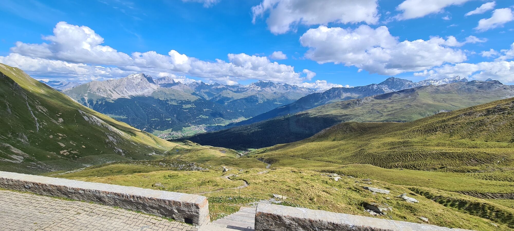
A lot of view
Other tours in the regions
-
Val Surses
824
-
Albula / Alvra
180