© @SeraGioFotografie
© @SeraGioFotografie
© @SeraGioFotografie
© @SeraGioFotografie

© @SeraGioFotografie
© @SeraGioFotografie


- Brief description
-
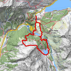
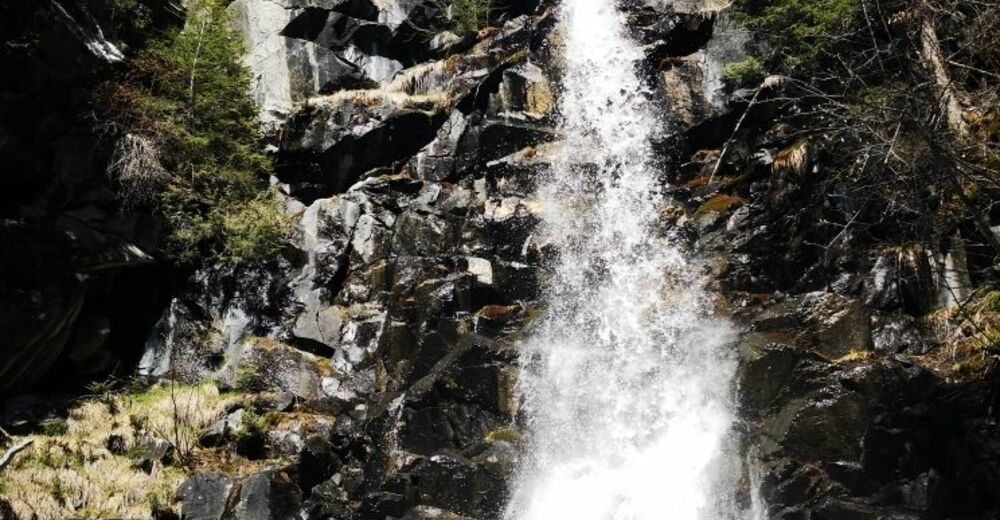
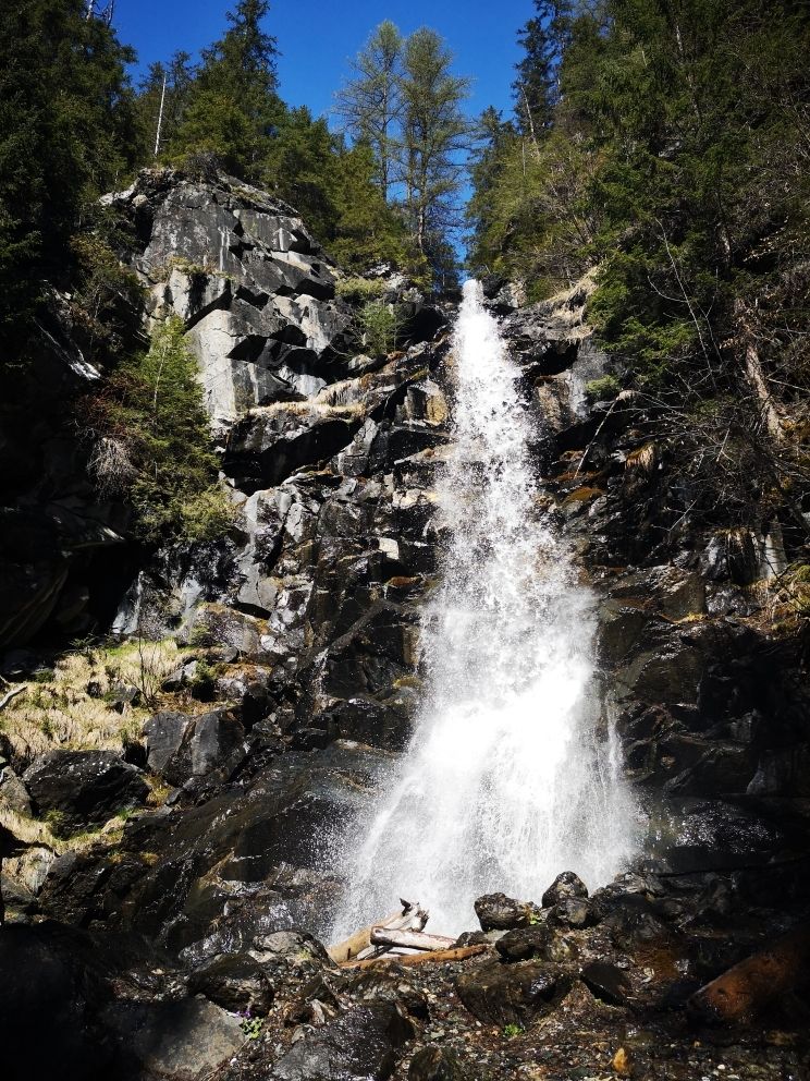
Eine kleine Rundtour mit einem kleinen Wasserfall als Höhepunkt.
- Difficulty
-
easy
- Rating
-
- Route
-
Campingplatz RonaRoffna (1,408 m)1.5 km
- Best season
-
JanFebMarAprMayJunJulAugSepOctNovDec
- Highest point
- 1,485 m
- Endpoint
-
Rona
- Height profile
-
 © outdooractive.com


- Author
-
The tour Wasserfall Rona (Rundtour) is used by outdooractive.com provided.
All ratings
Jan Signia
09. May. 2024
Wasserfall im Mai
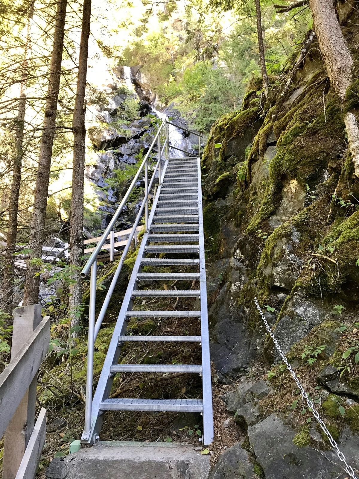
Super Tour! Der unmittelbare Aufstieg zum Wasserfall mit Kleinkindern sollte mit Verantwortung unternommen werden. Immer wieder gerne!
GPS Downloads


General info
Insider tip
A lot of view
Other tours in the regions
-
Val Surses
806
-
Surses
139